Inzinzac-Lochrist (Inzinzac-Lochrist)

- commune in Morbihan, France
- Country:

- Postal Code: 56650
- Coordinates: 47° 50' 37" N, 3° 16' 1" E


- GPS tracks (wikiloc): [Link]
- Area: 44.67 sq km
- Population: 6471
- Web site: http://www.inzinzac-lochrist.fr
- Wikipedia en: wiki(en)
- Wikipedia: wiki(fr)
- Wikidata storage: Wikidata: Q71661
- Wikipedia Commons Category: [Link]
- Freebase ID: [/m/03c5nc1]
- GeoNames ID: Alt: [3012759]
- SIREN number: [215600909]
- BnF ID: [15265340q]
- VIAF ID: Alt: [134145960]
- PACTOLS thesaurus ID: [pcrtPJz1J7vkHw]
- INSEE municipality code: 56090
Shares border with regions:

Caudan
- commune in Morbihan, France
- Country:
- Postal Code: 56850
- Coordinates: 47° 48' 32" N, 3° 20' 33" E
- GPS tracks (wikiloc): [Link]
- Area: 42.63 sq km
- Population: 6691
- Web site: [Link]

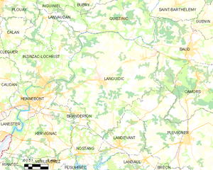
Languidic
- commune in Morbihan, France
- Country:
- Postal Code: 56440
- Coordinates: 47° 50' 0" N, 3° 9' 28" E
- GPS tracks (wikiloc): [Link]
- Area: 109.08 sq km
- Population: 7772
- Web site: [Link]

Lanvaudan
- commune in Morbihan, France
- Country:
- Postal Code: 56240
- Coordinates: 47° 53' 58" N, 3° 15' 42" E
- GPS tracks (wikiloc): [Link]
- Area: 18.3 sq km
- Population: 792
- Web site: [Link]

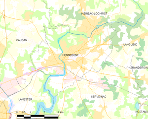
Hennebont
- commune in Morbihan, France
- Country:
- Postal Code: 56700
- Coordinates: 47° 48' 15" N, 3° 16' 44" E
- GPS tracks (wikiloc): [Link]
- AboveSeaLevel: 5 м m
- Area: 18.57 sq km
- Population: 15489
- Web site: [Link]

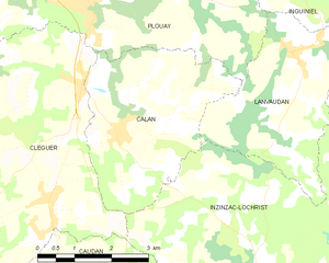
Calan
- commune in Morbihan, France
- Country:
- Postal Code: 56240
- Coordinates: 47° 52' 33" N, 3° 19' 19" E
- GPS tracks (wikiloc): [Link]
- Area: 12.29 sq km
- Population: 1152


Cléguer
- commune in Morbihan, France
- Country:
- Postal Code: 56620
- Coordinates: 47° 51' 15" N, 3° 23' 2" E
- GPS tracks (wikiloc): [Link]
- AboveSeaLevel: 50 м m
- Area: 32.15 sq km
- Population: 3330