
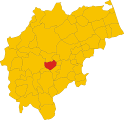
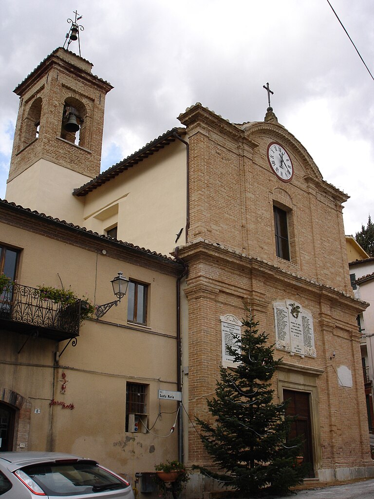
Camerino (Camerino)
.svg)
- Italian comune
 Hiking in Camerino
Camerino is a charming town located in the Marche region of Italy, surrounded by beautiful landscapes, hills, and mountains that offer excellent hiking opportunities. Here are some highlights for hiking in and around Camerino:
Trails and Routes
-
Sentiero Italia: This national trail runs through various regions of Italy and has sections that pass near Camerino. It offers breathtaking views and a chance to experience the diverse landscapes of the Apennines.
-
Monti Sibillini National Park: Just a short drive from Camerino, this park features a network of well-marked trails that cater to different skill levels. The park is known for its stunning vistas, unique flora and fauna, and historic sites.
-
Val di Chienti: This valley offers trails that follow the river Chienti, connecting the natural environment with local history. Hikers can enjoy scenic views of the surroundings.
-
Trekking to Monte Catria and Monte Acuto: For more seasoned hikers, trails leading to the peaks of Monte Catria and Monte Acuto provide challenging hikes, rewarding with panoramic views of the surrounding mountains and valleys.
Things to Keep in Mind
- Seasonal Conditions: The best time to hike in this region is typically during spring (April to June) and early autumn (September to October) when the weather is mild.
- Trail Maps: Pick up trail maps at local tourist information centers or check online resources to ensure you have updated information on trail conditions and difficulty levels.
- Safety and Preparedness: Always carry enough water, wear sturdy hiking boots, and inform someone about your hiking plans in case of emergency.
- Local Wildlife: Be mindful of local wildlife, and make sure to follow any guidelines about keeping a safe distance from animals you might encounter.
Cultural Experience
In addition to natural beauty, hiking in and around Camerino offers the chance to explore its rich history and culture. You can blend your hiking experience with visits to local sites, such as ancient churches and castles, enhancing your understanding of the region.
Whether you're a casual hiker or a seasoned trekker, Camerino provides a beautiful backdrop for outdoor adventures. Enjoy your hike!
- Country:

- Postal Code: 62032
- Local Dialing Code: 0737
- Licence Plate Code: MC
- Coordinates: 43° 8' 0" N, 13° 4' 0" E


- GPS tracks (wikiloc): [Link]
- AboveSeaLevel: 670 м m
- Area: 129.88 sq km
- Population: 6956
- Web site: http://www.camerino.sinp.net
- Wikipedia en: wiki(en)
- Wikipedia: wiki(it)
- Wikidata storage: Wikidata: Q73489
- Wikipedia Commons Gallery: [Link]
- Wikipedia Commons Category: [Link]
- Freebase ID: [/m/08nc6f]
- GeoNames ID: Alt: [6536785]
- VIAF ID: Alt: [136583186]
- OSM relation ID: [42321]
- MusicBrainz area ID: [fac845ca-8f69-4160-8129-504f39acd906]
- Quora topic ID: [Camerino]
- UN/LOCODE: [ITYCA]
- Digital Atlas of the Roman Empire ID: [16582]
- DMOZ ID: Alt: [Regional/Europe/Italy/Marche/Localities/Camerino/]
- ISTAT ID: 043007
- Italian cadastre code: B474
Shares border with regions:

Caldarola
- Italian comune
Hiking in Caldarola
Caldarola, located in the Marche region of Italy, is a charming village known for its beautiful landscapes and rich history. Hiking in this area offers a unique blend of natural beauty, cultural heritage, and scenic views....
- Country:
- Postal Code: 62020
- Local Dialing Code: 0733
- Licence Plate Code: MC
- Coordinates: 43° 8' 34" N, 13° 13' 25" E
- GPS tracks (wikiloc): [Link]
- AboveSeaLevel: 314 м m
- Area: 29.22 sq km
- Population: 1758
- Web site: [Link]


Castelraimondo
- Italian comune
Hiking in Castelraimondo
Castelraimondo is a charming town located in the region of Marche, central Italy. Surrounded by picturesque landscapes and rolling hills, it offers some great hiking opportunities for outdoor enthusiasts....
- Country:
- Postal Code: 62022
- Local Dialing Code: 0737
- Licence Plate Code: MC
- Coordinates: 43° 12' 33" N, 13° 3' 17" E
- GPS tracks (wikiloc): [Link]
- AboveSeaLevel: 305 м m
- Area: 44.85 sq km
- Population: 4510
- Web site: [Link]


Fiastra
- Italian comune
Hiking in Fiastra
Fiastra, located in the Marche region of Italy, is a hidden gem for hikers and nature lovers. Nestled in the beautiful Sibillini Mountains National Park, it offers a variety of trails that cater to different skill levels, making it an excellent destination for outdoor enthusiasts....
- Country:
- Postal Code: 62033
- Local Dialing Code: 0737
- Licence Plate Code: MC
- Coordinates: 43° 2' 9" N, 13° 9' 22" E
- GPS tracks (wikiloc): [Link]
- AboveSeaLevel: 732 м m
- Area: 84.48 sq km
- Population: 656
- Web site: [Link]


Muccia
- Italian comune
Hiking in Muccia
Muccia is a small town located in the Marche region of Italy, known for its picturesque landscapes and proximity to the Sibillini Mountains. Hiking in and around Muccia offers a unique experience, as the area boasts a variety of trails that cater to different skill levels and interests....
- Country:
- Postal Code: 62034
- Local Dialing Code: 0737
- Licence Plate Code: MC
- Coordinates: 43° 4' 55" N, 13° 2' 39" E
- GPS tracks (wikiloc): [Link]
- AboveSeaLevel: 454 м m
- Area: 25.91 sq km
- Population: 899
- Web site: [Link]
Pioraco
- Italian comune
Hiking in Pioraco
Pioraco, a charming village located in the Marche region of Italy, offers wonderful opportunities for hiking enthusiasts. Nestled in the scenic Val di Chiascio, it is surrounded by beautiful landscapes, rolling hills, and lush forests. Here are some details about hiking in Pioraco:...
- Country:
- Postal Code: 62025
- Local Dialing Code: 0737
- Licence Plate Code: MC
- Coordinates: 43° 10' 44" N, 12° 59' 6" E
- GPS tracks (wikiloc): [Link]
- AboveSeaLevel: 443 м m
- Area: 19.45 sq km
- Population: 1106
- Web site: [Link]
Sefro
- Italian comune
Hiking in Sefro
Sefro, a charming village in the province of Macerata in Italy’s Marche region, offers a unique hiking experience amidst picturesque landscapes. The area is characterized by rolling hills, lush forests, and beautiful valleys, making it an excellent choice for outdoor enthusiasts....
- Country:
- Postal Code: 62030
- Local Dialing Code: 0737
- Licence Plate Code: MC
- Coordinates: 43° 8' 47" N, 12° 56' 57" E
- GPS tracks (wikiloc): [Link]
- AboveSeaLevel: 502 м m
- Area: 42.54 sq km
- Population: 407
- Web site: [Link]
Serravalle di Chienti
- Italian comune
Hiking in Serravalle di Chienti
Serravalle di Chienti is a picturesque town located in the Marche region of Italy, surrounded by stunning landscapes that are perfect for hiking enthusiasts. The area is known for its diverse terrain, featuring hills, valleys, and forests, making it an ideal destination for both beginner and experienced hikers....
- Country:
- Postal Code: 62038
- Local Dialing Code: 0737
- Licence Plate Code: MC
- Coordinates: 43° 4' 20" N, 12° 57' 7" E
- GPS tracks (wikiloc): [Link]
- AboveSeaLevel: 667 м m
- Area: 95.99 sq km
- Population: 1056
- Web site: [Link]

Serrapetrona
- Italian comune
Hiking in Serrapetrona
Serrapetrona, located in the Marche region of Italy, is a charming destination for hiking enthusiasts. Known for its stunning landscapes, it offers a mix of beautiful hills, vineyards, and forests. Here are some highlights of hiking in Serrapetrona:...
- Country:
- Postal Code: 62020
- Local Dialing Code: 0733
- Licence Plate Code: MC
- Coordinates: 43° 10' 36" N, 13° 11' 26" E
- GPS tracks (wikiloc): [Link]
- AboveSeaLevel: 474 м m
- Area: 37.65 sq km
- Population: 929
- Web site: [Link]