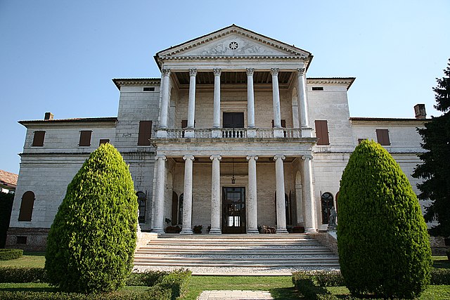
Camposampiero (Camposampiero)
.svg)
- Italian comune
 Hiking in Camposampiero
Camposampiero, located in the Veneto region of Italy, is not as widely recognized for hiking as some of the more mountainous areas of the country, but it does offer some opportunities for outdoor enthusiasts to explore its countryside and nearby natural areas.
Hiking Options in Camposampiero
-
Natural Surroundings:
- The area around Camposampiero is characterized by picturesque landscapes, farmland, and manicured green spaces. You can find trails that meander through these lands, allowing hikers to enjoy the tranquility of the region.
-
Nearby Parks and Nature Reserves:
- Consider visiting nearby parks, like Parco dei Colli Euganei or Parco Regionale dei Colli Euganei, which are a bit further away but provide more extensive hiking opportunities with well-marked trails, scenic views, and diverse flora and fauna.
-
Cultural Heritage Trails:
- Hiking in Camposampiero can also involve exploring the town's rich history. You might find paths that lead to historical sites and landmarks, such as the Basilica of St. George or the charming old town itself.
Tips for Hiking in Camposampiero
- Seasonal Considerations: Spring and early autumn are ideal times for hiking, as the weather is usually mild and pleasant.
- Trail Maps: Always carry a map or download hiking applications that provide trail information, as some paths may not be widely marked.
- Local Guidance: Consider contacting local hiking groups or tourist information centers for guided hikes or recommendations on the best trails to explore.
- Hydration & Snacks: It's always wise to bring enough water and snacks, especially if you're planning to hike for several hours.
Additional Activities
If you're in the Camposampiero area, consider complementing your hiking experience with local cuisine, wine tasting, or visiting vineyards, as the Veneto region is known for its excellent wines.
Overall, while Camposampiero may not be a hiking hotspot, it offers paths that showcase the beauty and culture of the Veneto region. Happy hiking!
- Country:

- Postal Code: 35012
- Local Dialing Code: 049
- Licence Plate Code: PD
- Coordinates: 45° 34' 0" N, 11° 56' 0" E


- GPS tracks (wikiloc): [Link]
- AboveSeaLevel: 24 м m
- Area: 21.12 sq km
- Population: 12043
- Web site: http://www.comune.camposampiero.pd.it/
- Wikipedia en: wiki(en)
- Wikipedia: wiki(it)
- Wikidata storage: Wikidata: Q34697
- Wikipedia Commons Category: [Link]
- Freebase ID: [/m/0dyfpv]
- GeoNames ID: Alt: [6538330]
- VIAF ID: Alt: [146662540]
- OSM relation ID: [45302]
- MusicBrainz area ID: [0132e9a5-f5b9-4376-9265-ec3d19084f93]
- WOEID: [711948]
- Quora topic ID: [Camposampiero]
- UN/LOCODE: [ITCPS]
- ISTAT ID: 028019
- Italian cadastre code: B563
Shares border with regions:

Borgoricco
- Italian comune
Hiking in Borgoricco
Borgoricco is a charming town in the province of Padua, Italy, and while it may not be as well-known as some other hiking destinations, it offers beautiful landscapes and opportunities for outdoor enthusiasts. Here are some aspects to consider when hiking in and around Borgoricco:...
- Country:
- Postal Code: 35010
- Local Dialing Code: 049
- Licence Plate Code: PD
- Coordinates: 45° 32' 7" N, 11° 56' 28" E
- GPS tracks (wikiloc): [Link]
- AboveSeaLevel: 18 м m
- Area: 20.39 sq km
- Population: 8774
- Web site: [Link]
Loreggia
- Italian comune
Hiking in Loreggia
Loreggia, located in the province of Treviso in the Veneto region of Italy, is not as widely known for hiking as some larger national parks or mountainous regions, but it offers a charming landscape for walking and exploring the outdoors. The area is mainly characterized by the beautiful countryside, rural paths, and vineyards....
- Country:
- Postal Code: 35010
- Local Dialing Code: 049
- Licence Plate Code: PD
- Coordinates: 45° 36' 0" N, 11° 57' 0" E
- GPS tracks (wikiloc): [Link]
- AboveSeaLevel: 26 м m
- Area: 19.12 sq km
- Population: 7708
- Web site: [Link]

Trebaseleghe
- Italian comune
Hiking in Trebaseleghe
Trebaseleghe is a charming town located in the Veneto region of Italy, known for its picturesque landscapes and proximity to various natural sites. While Trebaseleghe itself may not be a major hiking destination, it serves as a good starting point for hikes in the surrounding areas....
- Country:
- Postal Code: 35010
- Local Dialing Code: 049
- Licence Plate Code: PD
- Coordinates: 45° 35' 0" N, 12° 3' 0" E
- GPS tracks (wikiloc): [Link]
- AboveSeaLevel: 22 м m
- Area: 30.66 sq km
- Population: 12916
- Web site: [Link]
San Giorgio delle Pertiche
- Italian comune
Hiking in San Giorgio delle Pertiche
San Giorgio delle Pertiche is a charming municipality located in the Veneto region of Italy, near the city of Padua. While it may not be as widely recognized as other hiking destinations in Italy, it offers pleasant walking opportunities in the surrounding countryside and nearby natural areas....
- Country:
- Postal Code: 35010
- Local Dialing Code: 049
- Licence Plate Code: PD
- Coordinates: 45° 32' 31" N, 11° 53' 42" E
- GPS tracks (wikiloc): [Link]
- AboveSeaLevel: 24 м m
- Area: 18.86 sq km
- Population: 10075
- Web site: [Link]
Piombino Dese
- Italian comune
Hiking in Piombino Dese
Piombino Dese, located in the province of Padua in the Veneto region of Italy, is not typically recognized as a major hiking destination, but it offers some opportunities for walking and exploring the beautiful countryside of northern Italy....
- Country:
- Postal Code: 35017
- Local Dialing Code: 049
- Licence Plate Code: PD
- Coordinates: 45° 36' 0" N, 11° 56' 0" E
- GPS tracks (wikiloc): [Link]
- AboveSeaLevel: 24 м m
- Area: 29.63 sq km
- Population: 9539
- Web site: [Link]
Massanzago
- Italian comune
Hiking in Massanzago
Massanzago is a picturesque town located in the Veneto region of Italy, known for its beautiful landscapes and rich agricultural heritage. While the town itself is not famous for extensive hiking trails, the surrounding areas offer opportunities for nature lovers and hikers to explore the countryside....
- Country:
- Postal Code: 35010
- Local Dialing Code: 049
- Licence Plate Code: PD
- Coordinates: 45° 33' 23" N, 12° 0' 26" E
- GPS tracks (wikiloc): [Link]
- AboveSeaLevel: 18 м m
- Area: 13.22 sq km
- Population: 6039
- Web site: [Link]
Santa Giustina in Colle
- Italian comune
Hiking in Santa Giustina in Colle
Santa Giustina in Colle is a charming village located in the province of Padua, in the Veneto region of Italy. While it is not as widely known for hiking as some other locations in Italy, it offers access to various trails and the beautiful natural surroundings of the Euganean Hills (Colli Euganei) nearby....
- Country:
- Postal Code: 35010
- Local Dialing Code: 049
- Licence Plate Code: PD
- Coordinates: 45° 34' 0" N, 11° 54' 0" E
- GPS tracks (wikiloc): [Link]
- AboveSeaLevel: 24 м m
- Area: 17.97 sq km
- Population: 7269
- Web site: [Link]