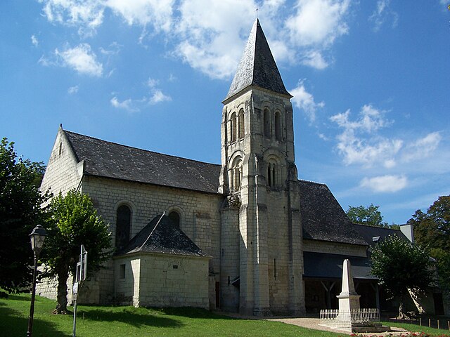
Candes-Saint-Martin (Candes-Saint-Martin)

- commune in Indre-et-Loire, France
- Country:

- Postal Code: 37500
- Coordinates: 47° 12' 39" N, 0° 4' 24" E


- GPS tracks (wikiloc): [Link]
- Area: 5.77 sq km
- Population: 226
- Web site: http://www.candes-saint-martin.fr/
- Wikipedia en: wiki(en)
- Wikipedia: wiki(fr)
- Wikidata storage: Wikidata: Q476848
- Wikipedia Commons Category: [Link]
- Freebase ID: [/m/03nvcsx]
- GeoNames ID: Alt: [3028847]
- SIREN number: [213700420]
- BnF ID: [152575934]
- VIAF ID: Alt: [247400342]
- PACTOLS thesaurus ID: [pcrtMhlB2unVRH]
- Digital Atlas of the Roman Empire ID: [2246]
- INSEE municipality code: 37042
Shares border with regions:


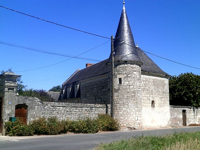
Couziers
- commune in Indre-et-Loire, France
- Country:
- Postal Code: 37500
- Coordinates: 47° 9' 32" N, 0° 4' 56" E
- GPS tracks (wikiloc): [Link]
- Area: 12.05 sq km
- Population: 123

Savigny-en-Véron
- commune in Indre-et-Loire, France
- Country:
- Postal Code: 37420
- Coordinates: 47° 12' 5" N, 0° 8' 41" E
- GPS tracks (wikiloc): [Link]
- Area: 21.31 sq km
- Population: 1528
- Web site: [Link]

Saint-Germain-sur-Vienne
- commune in Indre-et-Loire, France
- Country:
- Postal Code: 37500
- Coordinates: 47° 10' 52" N, 0° 7' 15" E
- GPS tracks (wikiloc): [Link]
- Area: 13.36 sq km
- Population: 386


Fontevraud-l'Abbaye
- commune in Maine-et-Loire, France
- Country:
- Postal Code: 49590
- Coordinates: 47° 10' 56" N, 0° 2' 59" E
- GPS tracks (wikiloc): [Link]
- AboveSeaLevel: 80 м m
- Area: 14.82 sq km
- Population: 1528
- Web site: [Link]


Montsoreau
- commune in Loire Valley, France
- Country:
- Postal Code: 49730
- Local Dialing Code: 2
- Coordinates: 47° 12' 59" N, 0° 3' 25" E
- GPS tracks (wikiloc): [Link]
- AboveSeaLevel: 27 м m
- Area: 5.19 sq km
- Population: 447
- Web site: [Link]