Couziers (Couziers)

- commune in Indre-et-Loire, France
- Country:

- Postal Code: 37500
- Coordinates: 47° 9' 32" N, 0° 4' 56" E


- GPS tracks (wikiloc): [Link]
- Area: 12.05 sq km
- Population: 123
- Wikipedia en: wiki(en)
- Wikipedia: wiki(fr)
- Wikidata storage: Wikidata: Q1135748
- Wikipedia Commons Category: [Link]
- Freebase ID: [/m/03nvf1t]
- GeoNames ID: Alt: [6448699]
- SIREN number: [213700883]
- BnF ID: [15257639m]
- WOEID: [587704]
- INSEE municipality code: 37088
Shares border with regions:


Lerné
- commune in Indre-et-Loire, France
- Country:
- Postal Code: 37500
- Coordinates: 47° 8' 7" N, 0° 7' 20" E
- GPS tracks (wikiloc): [Link]
- Area: 16.36 sq km
- Population: 298
Roiffé
- commune in Vienne, France
- Country:
- Postal Code: 86120
- Coordinates: 47° 7' 29" N, 0° 3' 8" E
- GPS tracks (wikiloc): [Link]
- Area: 24.3 sq km
- Population: 754

Candes-Saint-Martin
- commune in Indre-et-Loire, France
- Country:
- Postal Code: 37500
- Coordinates: 47° 12' 39" N, 0° 4' 24" E
- GPS tracks (wikiloc): [Link]
- Area: 5.77 sq km
- Population: 226
- Web site: [Link]
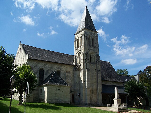

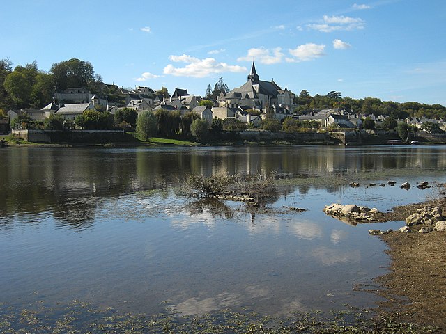
Saint-Germain-sur-Vienne
- commune in Indre-et-Loire, France
- Country:
- Postal Code: 37500
- Coordinates: 47° 10' 52" N, 0° 7' 15" E
- GPS tracks (wikiloc): [Link]
- Area: 13.36 sq km
- Population: 386


Fontevraud-l'Abbaye
- commune in Maine-et-Loire, France
- Country:
- Postal Code: 49590
- Coordinates: 47° 10' 56" N, 0° 2' 59" E
- GPS tracks (wikiloc): [Link]
- AboveSeaLevel: 80 м m
- Area: 14.82 sq km
- Population: 1528
- Web site: [Link]