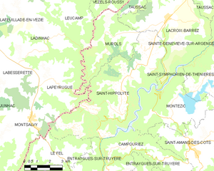
canton of Entraygues-sur-Truyère (canton d'Entraygues-sur-Truyère)
- canton of France
- Country:

- Capital: Entraygues-sur-Truyère
- Coordinates: 44° 38' 50" N, 2° 34' 3" E


- GPS tracks (wikiloc): [Link]
- Wikidata storage: Wikidata: Q1725235
- INSEE canton code: [1211]
Includes regions:

Le Fel
- commune in Aveyron, France
- Country:
- Postal Code: 12140
- Coordinates: 44° 39' 12" N, 2° 30' 19" E
- GPS tracks (wikiloc): [Link]
- AboveSeaLevel: 320 м m
- Area: 24.89 sq km
- Population: 169
- Web site: [Link]

Saint-Hippolyte
- commune in Aveyron, France
- Country:
- Postal Code: 12140
- Coordinates: 44° 42' 40" N, 2° 35' 30" E
- GPS tracks (wikiloc): [Link]
- Area: 36.87 sq km
- Population: 451
- Web site: [Link]

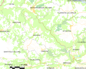
Golinhac
- commune in Aveyron, France
- Country:
- Postal Code: 12140
- Coordinates: 44° 36' 16" N, 2° 35' 1" E
- GPS tracks (wikiloc): [Link]
- Area: 32.41 sq km
- Population: 356
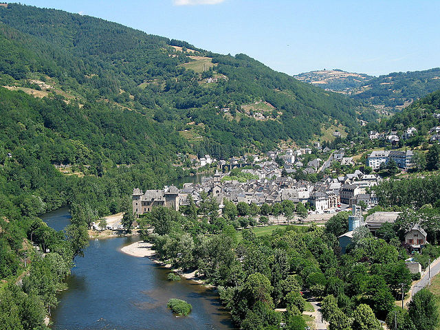
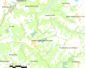
Entraygues-sur-Truyère
- commune in Aveyron, France
- Country:
- Postal Code: 12140
- Coordinates: 44° 38' 47" N, 2° 34' 1" E
- GPS tracks (wikiloc): [Link]
- Area: 30.15 sq km
- Population: 1038


Espeyrac
- commune in Aveyron, France
- Country:
- Postal Code: 12140
- Coordinates: 44° 36' 47" N, 2° 30' 37" E
- GPS tracks (wikiloc): [Link]
- Area: 22.28 sq km
- Population: 237
- Web site: [Link]