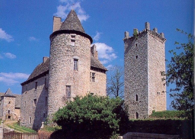
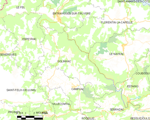
Espeyrac (Espeyrac)

- commune in Aveyron, France
- Country:

- Postal Code: 12140
- Coordinates: 44° 36' 47" N, 2° 30' 37" E


- GPS tracks (wikiloc): [Link]
- Area: 22.28 sq km
- Population: 237
- Web site: http://www.espeyrac-aveyron.com
- Wikipedia en: wiki(en)
- Wikipedia: wiki(fr)
- Wikidata storage: Wikidata: Q936347
- Wikipedia Commons Category: [Link]
- Freebase ID: [/m/03m93vg]
- GeoNames ID: Alt: [3019689]
- SIREN number: [211200977]
- BnF ID: [15247073x]
- VIAF ID: Alt: [233966120]
- INSEE municipality code: 12097
Shares border with regions:

Le Fel
- commune in Aveyron, France
- Country:
- Postal Code: 12140
- Coordinates: 44° 39' 12" N, 2° 30' 19" E
- GPS tracks (wikiloc): [Link]
- AboveSeaLevel: 320 м m
- Area: 24.89 sq km
- Population: 169
- Web site: [Link]


Saint-Félix-de-Lunel
- commune in Aveyron, France
- Country:
- Postal Code: 12320
- Coordinates: 44° 33' 43" N, 2° 32' 20" E
- GPS tracks (wikiloc): [Link]
- Area: 18.98 sq km
- Population: 377

Sénergues
- commune in Aveyron, France
- Country:
- Postal Code: 12320
- Coordinates: 44° 36' 21" N, 2° 29' 5" E
- GPS tracks (wikiloc): [Link]
- Area: 44.9 sq km
- Population: 421
- Web site: [Link]


Campuac
- commune in Aveyron, France
- Country:
- Postal Code: 12580
- Coordinates: 44° 34' 8" N, 2° 35' 25" E
- GPS tracks (wikiloc): [Link]
- Area: 19.19 sq km
- Population: 445
- Web site: [Link]

Golinhac
- commune in Aveyron, France
- Country:
- Postal Code: 12140
- Coordinates: 44° 36' 16" N, 2° 35' 1" E
- GPS tracks (wikiloc): [Link]
- Area: 32.41 sq km
- Population: 356
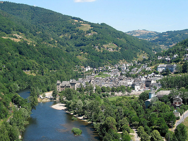
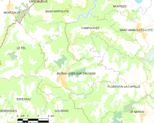
Entraygues-sur-Truyère
- commune in Aveyron, France
- Country:
- Postal Code: 12140
- Coordinates: 44° 38' 47" N, 2° 34' 1" E
- GPS tracks (wikiloc): [Link]
- Area: 30.15 sq km
- Population: 1038