canton of Ouzouer-le-Marché (canton d'Ouzouer-le-Marché)
- canton of France (until March 2015)
- Country:

- Capital: Ouzouer-le-Marché
- Coordinates: 47° 55' 19" N, 1° 25' 48" E


- GPS tracks (wikiloc): [Link]
- Wikidata storage: Wikidata: Q1547745
- INSEE canton code: [4116]
Includes regions:


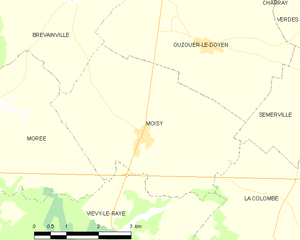
Moisy
- commune in Loir-et-Cher, France
- Country:

- Postal Code: 41160
- Coordinates: 47° 54' 54" N, 1° 18' 56" E


- GPS tracks (wikiloc): [Link]
- Area: 17.33 sq km
- Population: 353


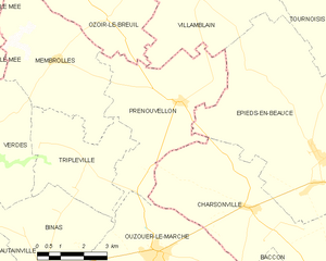
Prénouvellon
- former commune in Loir-et-Cher, France
- Country:

- Postal Code: 41240
- Coordinates: 47° 58' 8" N, 1° 32' 19" E


- GPS tracks (wikiloc): [Link]
- Area: 19.77 sq km
- Population: 244


Ouzouer-le-Marché
- former commune in Loir-et-Cher, France
- Country:

- Postal Code: 41240
- Coordinates: 47° 54' 40" N, 1° 31' 39" E


- GPS tracks (wikiloc): [Link]
- Area: 28.1 sq km
- Population: 2015


Binas
- commune in Loir-et-Cher, France
- Country:

- Postal Code: 41240
- Coordinates: 47° 54' 12" N, 1° 27' 45" E


- GPS tracks (wikiloc): [Link]
- Area: 26.38 sq km
- Population: 727


Villermain
- commune in Loir-et-Cher, France
- Country:

- Postal Code: 41240
- Coordinates: 47° 51' 44" N, 1° 31' 47" E


- GPS tracks (wikiloc): [Link]
- Area: 28.75 sq km
- Population: 389


Semerville
- former commune in Loir-et-Cher, France
- Country:

- Postal Code: 41160
- Coordinates: 47° 55' 57" N, 1° 22' 46" E


- GPS tracks (wikiloc): [Link]
- Area: 9.67 sq km
- Population: 102
Verdes
- former commune in Loir-et-Cher, France
- Country:

- Postal Code: 41240
- Coordinates: 47° 57' 29" N, 1° 25' 45" E


- GPS tracks (wikiloc): [Link]
- Area: 28.59 sq km
- Population: 462


Ouzouer-le-Doyen
- commune in Loir-et-Cher, France
- Country:

- Postal Code: 41160
- Coordinates: 47° 56' 30" N, 1° 20' 25" E


- GPS tracks (wikiloc): [Link]
- Area: 16.59 sq km
- Population: 245


La Colombe
- former commune in Loir-et-Cher, France
- Country:

- Postal Code: 41160
- Coordinates: 47° 53' 17" N, 1° 22' 17" E


- GPS tracks (wikiloc): [Link]
- Area: 18.36 sq km
- Population: 207


Membrolles
- former commune in Loir-et-Cher, France
- Country:

- Postal Code: 41240
- Coordinates: 47° 59' 5" N, 1° 28' 2" E


- GPS tracks (wikiloc): [Link]
- Area: 18.95 sq km
- Population: 268


Tripleville
- former commune in Loir-et-Cher, France
- Country:

- Postal Code: 41240
- Coordinates: 47° 56' 37" N, 1° 29' 10" E


- GPS tracks (wikiloc): [Link]
- Area: 13.07 sq km
- Population: 170


Vievy-le-Rayé
- commune in Loir-et-Cher, France
- Country:

- Postal Code: 41290
- Coordinates: 47° 51' 54" N, 1° 18' 51" E


- GPS tracks (wikiloc): [Link]
- Area: 45.12 sq km
- Population: 469