canton of Cattenom (canton de Cattenom)
- canton of France (until March 2015)
- Country:

- Capital: Cattenom
- Coordinates: 49° 27' 9" N, 6° 11' 56" E


- GPS tracks (wikiloc): [Link]
- Wikidata storage: Wikidata: Q1470658
- Library of Congress authority ID: Alt: [n91012999]
- INSEE canton code: [5705]
Includes regions:
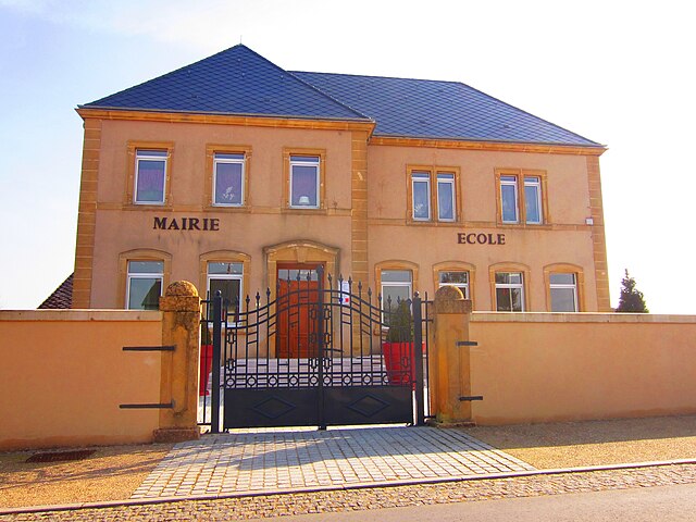

Basse-Rentgen
- commune in Moselle, France
- Country:

- Postal Code: 57570
- Coordinates: 49° 28' 59" N, 6° 12' 12" E


- GPS tracks (wikiloc): [Link]
- Area: 10.46 sq km
- Population: 432


Cattenom
- commune in Moselle, France
- Country:

- Postal Code: 57570
- Coordinates: 49° 24' 22" N, 6° 14' 37" E


- GPS tracks (wikiloc): [Link]
- Area: 25.53 sq km
- Population: 2735
- Web site: [Link]


Évrange
- commune in Moselle, France
- Country:

- Postal Code: 57570
- Coordinates: 49° 30' 5" N, 6° 11' 45" E


- GPS tracks (wikiloc): [Link]
- Area: 2.25 sq km
- Population: 236
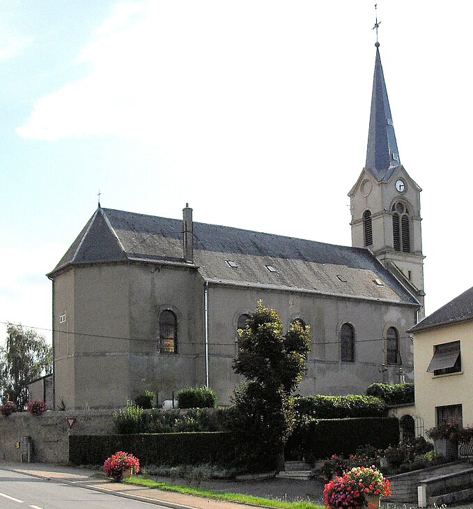

Beyren-lès-Sierck
- commune in Moselle, France
- Country:

- Postal Code: 57570
- Coordinates: 49° 28' 5" N, 6° 18' 40" E


- GPS tracks (wikiloc): [Link]
- Area: 9.28 sq km
- Population: 536
- Web site: [Link]
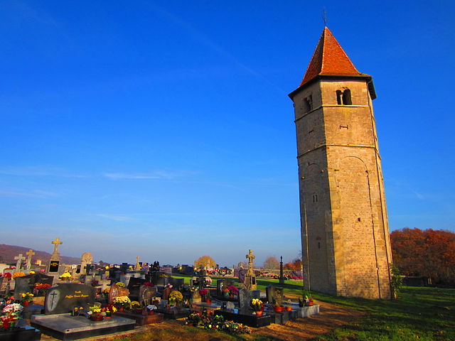

Boust
- commune in Moselle, France
- Country:

- Postal Code: 57570
- Coordinates: 49° 26' 4" N, 6° 11' 23" E


- GPS tracks (wikiloc): [Link]
- Area: 7.01 sq km
- Population: 1205
- Web site: [Link]
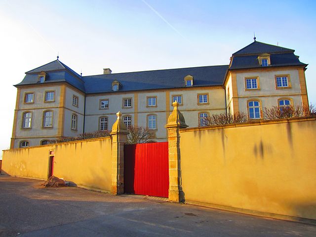

Berg-sur-Moselle
- commune in Moselle, France
- Country:

- Postal Code: 57570
- Coordinates: 49° 25' 50" N, 6° 18' 40" E


- GPS tracks (wikiloc): [Link]
- Area: 2.91 sq km
- Population: 426


Puttelange-lès-Thionville
- commune in Moselle, France
- Country:

- Postal Code: 57570
- Coordinates: 49° 29' 6" N, 6° 16' 1" E


- GPS tracks (wikiloc): [Link]
- Area: 10.67 sq km
- Population: 956

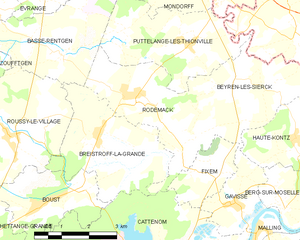
Rodemack
- commune in Moselle, France
- Country:

- Postal Code: 57570
- Coordinates: 49° 28' 8" N, 6° 14' 10" E


- GPS tracks (wikiloc): [Link]
- Area: 9.96 sq km
- Population: 1167
- Web site: [Link]
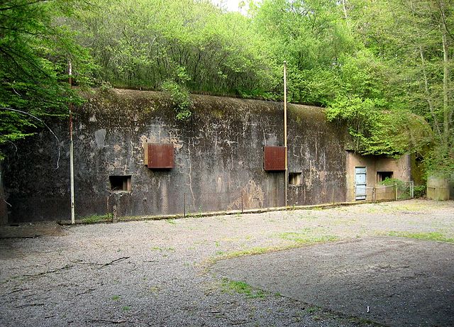

Entrange
- commune in Moselle, France
- Country:

- Postal Code: 57330
- Coordinates: 49° 24' 46" N, 6° 6' 16" E


- GPS tracks (wikiloc): [Link]
- Area: 3.99 sq km
- Population: 1269
- Web site: [Link]


Zoufftgen
- commune in Moselle, France
- Country:

- Postal Code: 57330
- Coordinates: 49° 27' 45" N, 6° 7' 59" E


- GPS tracks (wikiloc): [Link]
- Area: 16.7 sq km
- Population: 1153


Escherange
- commune in Moselle, France
- Country:

- Postal Code: 57330
- Coordinates: 49° 24' 58" N, 6° 4' 12" E


- GPS tracks (wikiloc): [Link]
- Area: 13.18 sq km
- Population: 594


Mondorff
- commune in Moselle, France
- Country:

- Postal Code: 57570
- Coordinates: 49° 30' 12" N, 6° 16' 16" E


- GPS tracks (wikiloc): [Link]
- AboveSeaLevel: 192 м m
- Area: 3.84 sq km
- Population: 555
- Web site: [Link]
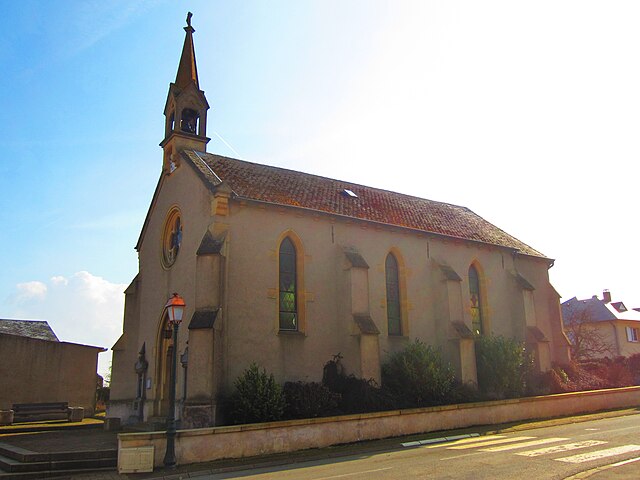

Hagen
- commune in Moselle, France
- Country:

- Postal Code: 57570
- Coordinates: 49° 29' 56" N, 6° 10' 22" E


- GPS tracks (wikiloc): [Link]
- Area: 3.51 sq km
- Population: 369


Roussy-le-Village
- commune in Moselle, France
- Country:

- Postal Code: 57330
- Coordinates: 49° 27' 25" N, 6° 10' 25" E


- GPS tracks (wikiloc): [Link]
- Area: 12.5 sq km
- Population: 1332

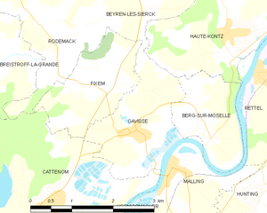
Gavisse
- commune in Moselle, France
- Country:

- Postal Code: 57570
- Coordinates: 49° 25' 56" N, 6° 17' 14" E


- GPS tracks (wikiloc): [Link]
- Area: 4.15 sq km
- Population: 564


Fixem
- commune in Moselle, France
- Country:

- Postal Code: 57570
- Coordinates: 49° 26' 35" N, 6° 16' 30" E


- GPS tracks (wikiloc): [Link]
- Area: 3.53 sq km
- Population: 428


Volmerange-les-Mines
- commune in Moselle, France
- Country:

- Postal Code: 57330
- Coordinates: 49° 26' 33" N, 6° 4' 49" E


- GPS tracks (wikiloc): [Link]
- Area: 12.92 sq km
- Population: 2156


Breistroff-la-Grande
- commune in Moselle, France
- Country:

- Postal Code: 57570
- Coordinates: 49° 27' 25" N, 6° 13' 6" E


- GPS tracks (wikiloc): [Link]
- Area: 10.63 sq km
- Population: 650


Hettange-Grande
- commune in Moselle, France
- Country:

- Postal Code: 57330
- Coordinates: 49° 24' 21" N, 6° 9' 11" E


- GPS tracks (wikiloc): [Link]
- Area: 16.27 sq km
- Population: 7618
- Web site: [Link]

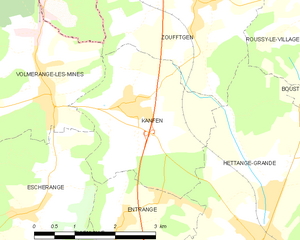
Kanfen
- commune in Moselle, France
- Country:

- Postal Code: 57330
- Coordinates: 49° 26' 21" N, 6° 6' 34" E


- GPS tracks (wikiloc): [Link]
- Area: 8.5 sq km
- Population: 1142
- Web site: [Link]