canton of Cléry-Saint-André (canton de Cléry-Saint-André)
- canton of France (until March 2015)
- Country:

- Capital: Cléry-Saint-André
- Coordinates: 47° 49' 14" N, 1° 45' 2" E


- GPS tracks (wikiloc): [Link]
- Wikidata storage: Wikidata: Q1516186
- INSEE canton code: [4510]
Includes regions:


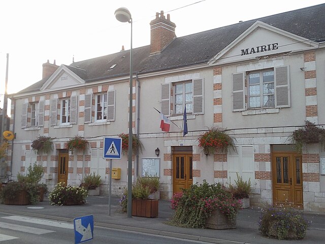
Mézières-lez-Cléry
- commune in Loiret, France
- Country:

- Postal Code: 45370
- Coordinates: 47° 49' 7" N, 1° 48' 15" E


- GPS tracks (wikiloc): [Link]
- Area: 27.01 sq km
- Population: 825
- Web site: [Link]


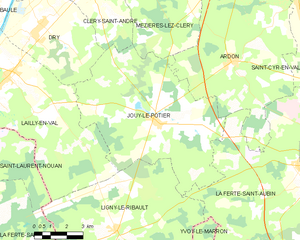
Jouy-le-Potier
- commune in Loiret, France
- Country:

- Postal Code: 45370
- Coordinates: 47° 44' 40" N, 1° 48' 41" E


- GPS tracks (wikiloc): [Link]
- Area: 50.4 sq km
- Population: 1342
- Web site: [Link]


Dry
- commune in Loiret, France
- Country:

- Postal Code: 45370
- Coordinates: 47° 47' 48" N, 1° 42' 50" E


- GPS tracks (wikiloc): [Link]
- Area: 22.64 sq km
- Population: 1398


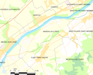
Mareau-aux-Prés
- commune in Loiret, France
- Country:

- Postal Code: 45370
- Coordinates: 47° 50' 50" N, 1° 47' 58" E


- GPS tracks (wikiloc): [Link]
- Area: 13.34 sq km
- Population: 1250
- Web site: [Link]


Cléry-Saint-André
- commune in Loiret, France
- Country:

- Postal Code: 45370
- Coordinates: 47° 49' 16" N, 1° 45' 24" E


- GPS tracks (wikiloc): [Link]
- Area: 18.13 sq km
- Population: 3410
- Web site: [Link]