canton of Conlie (canton de Conlie)
- canton of France
- Country:

- Capital: Conlie
- Coordinates: 48° 7' 0" N, 0° 1' 0" E


- GPS tracks (wikiloc): [Link]
- Wikidata storage: Wikidata: Q1725024
- Library of Congress authority ID: Alt: [n00027111]
- INSEE canton code: [7208]
Includes regions:

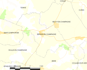
Bernay-en-Champagne
- commune in Sarthe, France
- Country:

- Postal Code: 72240
- Coordinates: 48° 4' 27" N, 0° 3' 35" E


- GPS tracks (wikiloc): [Link]
- Area: 10.34 sq km
- Population: 494


La Chapelle-Saint-Fray
- commune in Sarthe, France
- Country:

- Postal Code: 72240
- Coordinates: 48° 6' 38" N, 0° 4' 52" E


- GPS tracks (wikiloc): [Link]
- Area: 6.38 sq km
- Population: 468


Degré
- commune in Sarthe, France
- Country:

- Postal Code: 72550
- Coordinates: 48° 3' 1" N, 0° 4' 5" E


- GPS tracks (wikiloc): [Link]
- Area: 9.83 sq km
- Population: 797
- Web site: [Link]


Mézières-sous-Lavardin
- commune in Sarthe, France
- Country:

- Postal Code: 72240
- Coordinates: 48° 9' 16" N, 0° 1' 48" E


- GPS tracks (wikiloc): [Link]
- Area: 15.31 sq km
- Population: 710


Domfront-en-Champagne
- commune in Sarthe, France
- Country:

- Postal Code: 72240
- Coordinates: 48° 6' 17" N, 0° 1' 41" E


- GPS tracks (wikiloc): [Link]
- Area: 20.97 sq km
- Population: 1020

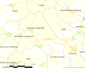
Neuvy-en-Champagne
- commune in Sarthe, France
- Country:

- Postal Code: 72240
- Coordinates: 48° 4' 50" N, 0° 2' 20" E


- GPS tracks (wikiloc): [Link]
- Area: 14.79 sq km
- Population: 373


Ruillé-en-Champagne
- commune in Sarthe, France
- Country:

- Postal Code: 72240
- Coordinates: 48° 3' 36" N, 0° 5' 1" E


- GPS tracks (wikiloc): [Link]
- Area: 14.93 sq km
- Population: 355
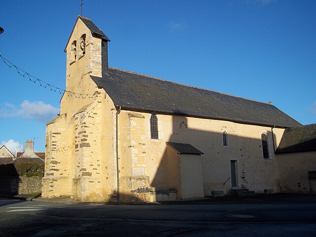

Cures, Sarthe
- commune in Sarthe, France
- Country:

- Postal Code: 72240
- Coordinates: 48° 6' 1" N, 0° 0' 18" E


- GPS tracks (wikiloc): [Link]
- Area: 11.5 sq km
- Population: 503
- Web site: [Link]


Tennie
- commune in Sarthe, France
- Country:

- Postal Code: 72240
- Coordinates: 48° 6' 29" N, 0° 4' 33" E


- GPS tracks (wikiloc): [Link]
- Area: 33.13 sq km
- Population: 1104

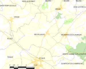
Neuvillalais
- commune in Sarthe, France
- Country:

- Postal Code: 72240
- Coordinates: 48° 9' 24" N, 0° 0' 3" E


- GPS tracks (wikiloc): [Link]
- Area: 18.86 sq km
- Population: 591
- Web site: [Link]


Sainte-Sabine-sur-Longève
- commune in Sarthe, France
- Country:

- Postal Code: 72380
- Coordinates: 48° 8' 28" N, 0° 5' 43" E


- GPS tracks (wikiloc): [Link]
- Area: 11.82 sq km
- Population: 760

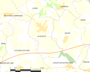
La Quinte
- commune in Sarthe, France
- Country:

- Postal Code: 72550
- Coordinates: 48° 3' 32" N, 0° 2' 16" E


- GPS tracks (wikiloc): [Link]
- Area: 8.81 sq km
- Population: 791

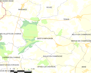
Saint-Symphorien
- commune in Sarthe, France
- Country:

- Postal Code: 72240
- Coordinates: 48° 4' 20" N, 0° 6' 54" E


- GPS tracks (wikiloc): [Link]
- Area: 22.49 sq km
- Population: 580
- Web site: [Link]


Conlie
- commune in Sarthe, France
- Country:

- Postal Code: 72240
- Coordinates: 48° 7' 24" N, 0° 1' 3" E


- GPS tracks (wikiloc): [Link]
- Area: 17.16 sq km
- Population: 1864
- Web site: [Link]

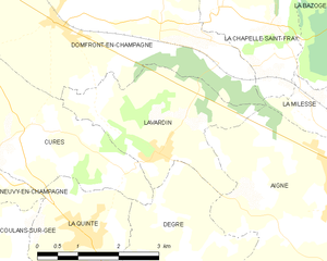
Lavardin
- commune in Sarthe, France
- Country:

- Postal Code: 72240
- Coordinates: 48° 4' 40" N, 0° 3' 43" E


- GPS tracks (wikiloc): [Link]
- Area: 7.63 sq km
- Population: 741
- Web site: [Link]