canton of Pierrelatte (canton de Pierrelatte)
- canton of France
- Country:

- Capital: Pierrelatte
- Coordinates: 44° 24' 38" N, 4° 43' 51" E


- GPS tracks (wikiloc): [Link]
- Wikidata storage: Wikidata: Q1726692
- Wikipedia Commons Category: [Link]
Includes regions:

Les Granges-Gontardes
- commune in Drôme, France
- Country:
- Postal Code: 26290
- Coordinates: 44° 24' 57" N, 4° 45' 47" E
- GPS tracks (wikiloc): [Link]
- Area: 7.26 sq km
- Population: 613
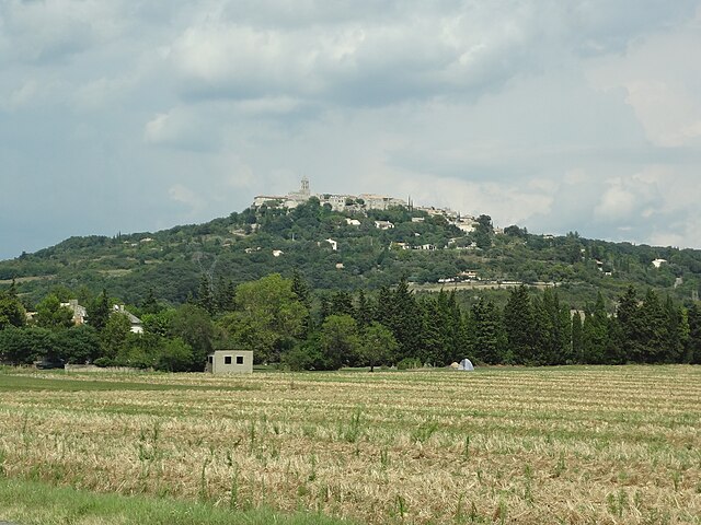
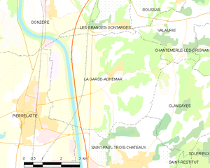
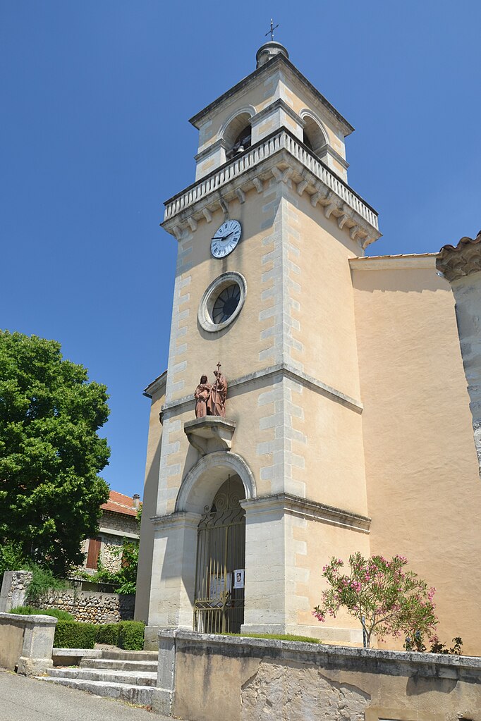
La Garde-Adhémar
- commune in Drôme, France
- Country:
- Postal Code: 26700
- Coordinates: 44° 23' 34" N, 4° 45' 15" E
- GPS tracks (wikiloc): [Link]
- Area: 27.73 sq km
- Population: 1065


Pierrelatte
- commune in Drôme, France
- Country:
- Postal Code: 26700
- Coordinates: 44° 22' 39" N, 4° 41' 46" E
- GPS tracks (wikiloc): [Link]
- Area: 49.56 sq km
- Population: 13105
- Web site: [Link]


Donzère
- commune in Drôme, France
- Country:
- Postal Code: 26290
- Coordinates: 44° 26' 37" N, 4° 42' 36" E
- GPS tracks (wikiloc): [Link]
- Area: 32.06 sq km
- Population: 5541
- Web site: [Link]