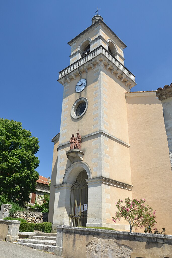
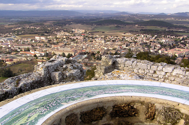
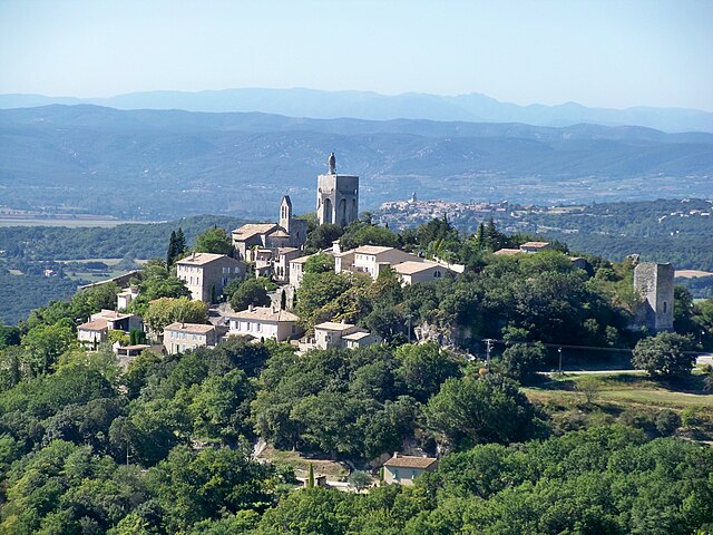
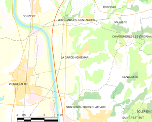
La Garde-Adhémar (La Garde-Adhémar)
- commune in Drôme, France
- Country:

- Postal Code: 26700
- Coordinates: 44° 23' 34" N, 4° 45' 15" E


- GPS tracks (wikiloc): [Link]
- Area: 27.73 sq km
- Population: 1065
- Wikipedia en: wiki(en)
- Wikipedia: wiki(fr)
- Wikidata storage: Wikidata: Q278566
- Wikipedia Commons Category: [Link]
- Freebase ID: [/m/03g_hh2]
- Freebase ID: [/m/03g_hh2]
- GeoNames ID: Alt: [3009196]
- GeoNames ID: Alt: [3009196]
- SIREN number: [212601389]
- SIREN number: [212601389]
- BnF ID: [152529993]
- BnF ID: [152529993]
- VIAF ID: Alt: [127304084]
- VIAF ID: Alt: [127304084]
- archINFORM location ID: [8721]
- archINFORM location ID: [8721]
- PACTOLS thesaurus ID: [pcrtGsRmZN383P]
- PACTOLS thesaurus ID: [pcrtGsRmZN383P]
- INSEE municipality code: 26138
- INSEE municipality code: 26138
Shares border with regions:


Les Granges-Gontardes
- commune in Drôme, France
- Country:

- Postal Code: 26290
- Coordinates: 44° 24' 57" N, 4° 45' 47" E


- GPS tracks (wikiloc): [Link]
- Area: 7.26 sq km
- Population: 613


Saint-Paul-Trois-Châteaux
- commune in Drôme, France
- Country:

- Postal Code: 26130
- Coordinates: 44° 20' 56" N, 4° 46' 7" E


- GPS tracks (wikiloc): [Link]
- Area: 22.04 sq km
- Population: 8969
- Web site: [Link]


Valaurie
- commune in Drôme, France
Valaurie is a beautiful village located in the Drôme department of the Auvergne-Rhône-Alpes region in southern France. It's a charming area that offers a mix of cultural heritage and natural beauty, making it a delightful destination for hiking enthusiasts....
- Country:

- Postal Code: 26230
- Coordinates: 44° 25' 20" N, 4° 48' 49" E


- GPS tracks (wikiloc): [Link]
- Area: 12.3 sq km
- Population: 589
- Web site: [Link]


Pierrelatte
- commune in Drôme, France
- Country:

- Postal Code: 26700
- Coordinates: 44° 22' 39" N, 4° 41' 46" E


- GPS tracks (wikiloc): [Link]
- Area: 49.56 sq km
- Population: 13105
- Web site: [Link]


Clansayes
- commune in Drôme, France
- Country:

- Postal Code: 26130
- Coordinates: 44° 22' 16" N, 4° 48' 27" E


- GPS tracks (wikiloc): [Link]
- Area: 14.47 sq km
- Population: 516


Donzère
- commune in Drôme, France
- Country:

- Postal Code: 26290
- Coordinates: 44° 26' 37" N, 4° 42' 36" E


- GPS tracks (wikiloc): [Link]
- Area: 32.06 sq km
- Population: 5541
- Web site: [Link]

