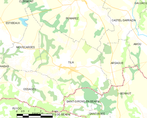
canton of Pouillon (canton de Pouillon)
- canton of France (until March 2015)
- Country:

- Capital: Pouillon
- Coordinates: 43° 35' 26" N, 0° 56' 57" E


- GPS tracks (wikiloc): [Link]
- Wikidata storage: Wikidata: Q1322035
- INSEE canton code: [4018]
Includes regions:


Cagnotte
- commune in Landes, France
- Country:

- Postal Code: 40300
- Coordinates: 43° 35' 44" N, 1° 4' 4" E


- GPS tracks (wikiloc): [Link]
- Area: 14.68 sq km
- Population: 769


Pouillon
- commune in Landes, France
- Country:

- Postal Code: 40350
- Coordinates: 43° 36' 16" N, 0° 59' 47" E


- GPS tracks (wikiloc): [Link]
- Area: 49.74 sq km
- Population: 3042
- Web site: [Link]


Habas
- commune in Landes, France
- Country:

- Postal Code: 40290
- Coordinates: 43° 34' 18" N, 0° 55' 46" E


- GPS tracks (wikiloc): [Link]
- Area: 18.75 sq km
- Population: 1512


Estibeaux
- commune in Landes, France
- Country:

- Postal Code: 40290
- Coordinates: 43° 36' 0" N, 0° 54' 24" E


- GPS tracks (wikiloc): [Link]
- Area: 16.72 sq km
- Population: 685


Labatut
- commune in Landes, France
- Country:

- Postal Code: 40300
- Coordinates: 43° 33' 1" N, 0° 59' 7" E


- GPS tracks (wikiloc): [Link]
- AboveSeaLevel: 46 м m
- Area: 20.95 sq km
- Population: 1421


Mimbaste
- commune in Landes, France
- Country:

- Postal Code: 40350
- Coordinates: 43° 38' 54" N, 0° 58' 23" E


- GPS tracks (wikiloc): [Link]
- Area: 20.6 sq km
- Population: 1035


Ossages
- commune in Landes, France
- Country:

- Postal Code: 40290
- Coordinates: 43° 33' 27" N, 0° 52' 53" E


- GPS tracks (wikiloc): [Link]
- Area: 14.31 sq km
- Population: 502


Mouscardès
- commune in Landes, France
- Country:

- Postal Code: 40290
- Coordinates: 43° 34' 58" N, 0° 52' 50" E


- GPS tracks (wikiloc): [Link]
- Area: 9.14 sq km
- Population: 253


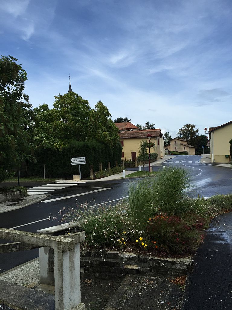
Tilh
- commune in Landes, France
- Country:

- Postal Code: 40360
- Coordinates: 43° 34' 33" N, 0° 50' 9" E


- GPS tracks (wikiloc): [Link]
- Area: 22.86 sq km
- Population: 799
- Web site: [Link]


Misson
- commune in Landes, France
- Country:

- Postal Code: 40290
- Coordinates: 43° 35' 13" N, 0° 57' 37" E


- GPS tracks (wikiloc): [Link]
- Area: 14.69 sq km
- Population: 766
Gaas
- commune in Landes, France
- Country:

- Postal Code: 40350
- Coordinates: 43° 36' 48" N, 1° 2' 4" E


- GPS tracks (wikiloc): [Link]
- Area: 9.13 sq km
- Population: 515