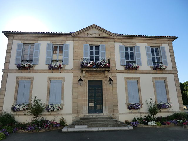
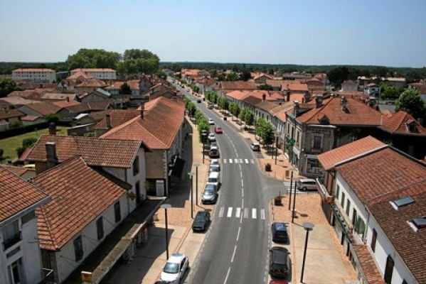
arrondissement of Dax (arrondissement de Dax)

- arrondissement of France
- Country:

- Capital: Dax
- Coordinates: 43° 45' 0" N, 1° 10' 0" E


- GPS tracks (wikiloc): [Link]
- Area: 3194 sq km
- Population: 222832
- Wikipedia en: wiki(en)
- Wikipedia: wiki(fr)
- Wikidata storage: Wikidata: Q701083
- Freebase ID: [/m/095gd2]
- GeoNames ID: Alt: [3021669]
- INSEE arrondissement code: [401]
- GNS Unique Feature ID: -1423683
Includes regions:


canton of Saint-Martin-de-Seignanx
- canton of France (until March 2015)
- Country:
- Capital: Saint-Martin-de-Seignanx
- Coordinates: 43° 32' 46" N, 1° 21' 7" E
- GPS tracks (wikiloc): [Link]


canton of Peyrehorade
- canton of France
- Country:
- Capital: Peyrehorade
- Coordinates: 43° 34' 15" N, 1° 7' 2" E
- GPS tracks (wikiloc): [Link]
canton of Saint-Vincent-de-Tyrosse
- canton of France
- Country:
- Capital: Saint-Vincent-de-Tyrosse
- Coordinates: 43° 37' 15" N, 1° 19' 18" E
- GPS tracks (wikiloc): [Link]


canton of Montfort-en-Chalosse
- canton of France (until March 2015)
- Country:
- Capital: Montfort-en-Chalosse
- Coordinates: 43° 43' 43" N, 0° 52' 5" E
- GPS tracks (wikiloc): [Link]