canton of Saint-Lizier (canton de Saint-Lizier)
- canton of France (until March 2015)
- Country:

- Capital: Saint-Lizier
- Coordinates: 43° 0' 10" N, 1° 8' 15" E


- GPS tracks (wikiloc): [Link]
- Wikidata storage: Wikidata: Q179535
- Library of Congress authority ID: Alt: [nb2008026398]
- INSEE canton code: [0916]
Includes regions:

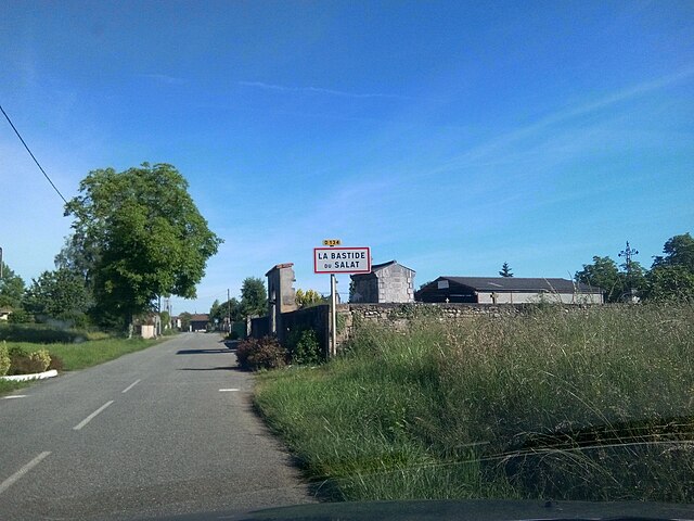
La Bastide-du-Salat
- commune in Ariège, France
- Country:

- Postal Code: 09160
- Coordinates: 43° 3' 21" N, 0° 59' 11" E


- GPS tracks (wikiloc): [Link]
- Area: 6.6 sq km
- Population: 177
Mauvezin-de-Prat
- commune in Ariège, France
- Country:

- Postal Code: 09160
- Coordinates: 43° 1' 51" N, 0° 59' 48" E


- GPS tracks (wikiloc): [Link]
- Area: 1.85 sq km
- Population: 98

Montgauch
- commune in Ariège, France
- Country:

- Postal Code: 09160
- Coordinates: 43° 0' 1" N, 1° 4' 31" E


- GPS tracks (wikiloc): [Link]
- Area: 9.15 sq km
- Population: 122

Caumont
- commune in Ariège, France
- Country:

- Postal Code: 09160
- Coordinates: 43° 1' 50" N, 1° 5' 8" E


- GPS tracks (wikiloc): [Link]
- Area: 9.22 sq km
- Population: 318

Mercenac
- commune in Ariège, France
- Country:

- Postal Code: 09160
- Coordinates: 43° 2' 25" N, 1° 4' 39" E


- GPS tracks (wikiloc): [Link]
- Area: 13.57 sq km
- Population: 362


Gajan
- commune in Ariège, France
- Country:

- Postal Code: 09190
- Coordinates: 43° 1' 57" N, 1° 7' 36" E


- GPS tracks (wikiloc): [Link]
- Area: 8.17 sq km
- Population: 314

Lacave
- commune in Ariège, France
- Country:

- Postal Code: 09160
- Coordinates: 43° 2' 25" N, 0° 59' 50" E


- GPS tracks (wikiloc): [Link]
- Area: 4.5 sq km
- Population: 151

Taurignan-Vieux
- commune in Ariège, France
- Country:

- Postal Code: 09190
- Coordinates: 43° 1' 41" N, 1° 6' 51" E


- GPS tracks (wikiloc): [Link]
- Area: 5.86 sq km
- Population: 205

Taurignan-Castet
- commune in Ariège, France
- Country:

- Postal Code: 09160
- Coordinates: 43° 2' 24" N, 1° 5' 27" E


- GPS tracks (wikiloc): [Link]
- Area: 6.78 sq km
- Population: 175

Saint-Lizier
- commune in Ariège, France
- Country:

- Postal Code: 09190
- Coordinates: 43° 0' 6" N, 1° 8' 13" E


- GPS tracks (wikiloc): [Link]
- Area: 9.01 sq km
- Population: 1417
- Web site: [Link]

Montesquieu-Avantès
- commune in Ariège, France
- Country:

- Postal Code: 09200
- Coordinates: 43° 1' 24" N, 1° 11' 48" E


- GPS tracks (wikiloc): [Link]
- Area: 16.52 sq km
- Population: 249

Montjoie-en-Couserans
- commune in Ariège, France
- Country:

- Postal Code: 09200
- Coordinates: 43° 0' 6" N, 1° 9' 34" E


- GPS tracks (wikiloc): [Link]
- Area: 29.63 sq km
- Population: 1082

Prat-Bonrepaux
- commune in Ariège, France
- Country:

- Postal Code: 09160
- Coordinates: 43° 1' 44" N, 1° 1' 8" E


- GPS tracks (wikiloc): [Link]
- Area: 14.43 sq km
- Population: 914

Cazavet
- commune in Ariège, France
- Country:

- Postal Code: 09160
- Coordinates: 43° 0' 7" N, 1° 2' 37" E


- GPS tracks (wikiloc): [Link]
- Area: 17.93 sq km
- Population: 228
Betchat
- commune in Ariège, France
- Country:

- Postal Code: 09160
- Coordinates: 43° 5' 31" N, 1° 0' 44" E


- GPS tracks (wikiloc): [Link]
- Area: 22 sq km
- Population: 308

Lorp-Sentaraille
- commune in Ariège, France
- Country:

- Postal Code: 09190
- Coordinates: 43° 0' 32" N, 1° 7' 10" E


- GPS tracks (wikiloc): [Link]
- Area: 6.15 sq km
- Population: 1418