canton of Sarreguemines-Campagne (canton de Sarreguemines-Campagne)
- canton of France (until March 2015)
- Country:

- Capital: Sarreguemines
- Coordinates: 49° 5' 57" N, 7° 3' 46" E


- GPS tracks (wikiloc): [Link]
- Wikidata storage: Wikidata: Q1398190
- INSEE canton code: [5750]
Includes regions:
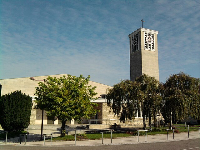

Bliesbruck
- commune in Moselle, France
- Country:

- Postal Code: 57200
- Coordinates: 49° 6' 56" N, 7° 10' 50" E


- GPS tracks (wikiloc): [Link]
- Area: 10.88 sq km
- Population: 1004
- Web site: [Link]

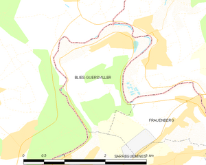
Blies-Guersviller
- commune in Moselle, France
- Country:

- Postal Code: 57200
- Coordinates: 49° 9' 6" N, 7° 5' 40" E


- GPS tracks (wikiloc): [Link]
- Area: 3.6 sq km
- Population: 617


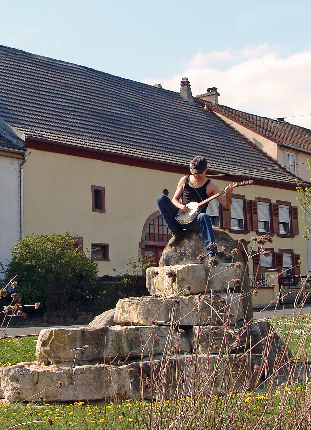
Frauenberg
- commune in Moselle, France
- Country:

- Postal Code: 57200
- Coordinates: 49° 8' 12" N, 7° 7' 38" E


- GPS tracks (wikiloc): [Link]
- Area: 2.75 sq km
- Population: 560
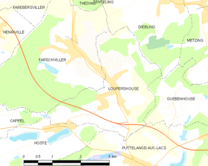
Loupershouse
- commune in Moselle, France
- Country:

- Postal Code: 57510
- Coordinates: 49° 4' 52" N, 6° 54' 49" E


- GPS tracks (wikiloc): [Link]
- Area: 7.73 sq km
- Population: 957


Zetting
- commune in Moselle, France
- Country:

- Postal Code: 57905
- Coordinates: 49° 4' 50" N, 7° 7' 49" E


- GPS tracks (wikiloc): [Link]
- Area: 6.94 sq km
- Population: 837


Rouhling
- commune in Moselle, France
- Country:

- Postal Code: 57520
- Coordinates: 49° 8' 14" N, 7° 0' 9" E


- GPS tracks (wikiloc): [Link]
- Area: 6.02 sq km
- Population: 2055


Sarreinsming
- commune in Moselle, France
- Country:

- Postal Code: 57905
- Coordinates: 49° 5' 20" N, 7° 6' 31" E


- GPS tracks (wikiloc): [Link]
- Area: 6.98 sq km
- Population: 1284


Neufgrange
- commune in Moselle, France
- Country:

- Postal Code: 57910
- Coordinates: 49° 4' 37" N, 7° 4' 4" E


- GPS tracks (wikiloc): [Link]
- Area: 7.17 sq km
- Population: 1435


Grundviller
- commune in Moselle, France
- Country:

- Postal Code: 57510
- Coordinates: 49° 2' 38" N, 6° 58' 15" E


- GPS tracks (wikiloc): [Link]
- Area: 6.27 sq km
- Population: 683


Blies-Ébersing
- commune in Moselle, France
- Country:

- Postal Code: 57200
- Coordinates: 49° 7' 27" N, 7° 8' 43" E


- GPS tracks (wikiloc): [Link]
- Area: 5.24 sq km
- Population: 661


Guebenhouse
- commune in Moselle, France
- Country:

- Postal Code: 57510
- Coordinates: 49° 4' 29" N, 6° 56' 34" E


- GPS tracks (wikiloc): [Link]
- Area: 4.46 sq km
- Population: 416


Rémelfing
- commune in Moselle, France
- Country:

- Postal Code: 57200
- Coordinates: 49° 5' 30" N, 7° 5' 32" E


- GPS tracks (wikiloc): [Link]
- Area: 2.62 sq km
- Population: 1401
- Web site: [Link]


Hundling
- commune in Moselle, France
- Country:

- Postal Code: 57990
- Coordinates: 49° 6' 25" N, 6° 58' 53" E


- GPS tracks (wikiloc): [Link]
- Area: 6.63 sq km
- Population: 1339
Wœlfling-lès-Sarreguemines
- commune in Moselle, France
- Country:

- Postal Code: 57200
- Coordinates: 49° 5' 7" N, 7° 10' 27" E


- GPS tracks (wikiloc): [Link]
- Area: 6.24 sq km
- Population: 748


Wiesviller
- commune in Moselle, France
- Country:

- Postal Code: 57200
- Coordinates: 49° 4' 49" N, 7° 9' 53" E


- GPS tracks (wikiloc): [Link]
- Area: 8.83 sq km
- Population: 992


Ippling
- commune in Moselle, France
- Country:

- Postal Code: 57990
- Coordinates: 49° 6' 22" N, 7° 0' 16" E


- GPS tracks (wikiloc): [Link]
- Area: 3.29 sq km
- Population: 736


Wittring
- commune in Moselle, France
- Country:

- Postal Code: 57905
- Coordinates: 49° 3' 16" N, 7° 8' 46" E


- GPS tracks (wikiloc): [Link]
- Area: 8.09 sq km
- Population: 793


Lixing-lès-Rouhling
- commune in Moselle, France
- Country:

- Postal Code: 57520
- Coordinates: 49° 9' 13" N, 6° 59' 40" E


- GPS tracks (wikiloc): [Link]
- Area: 4.22 sq km
- Population: 932


Woustviller
- commune in Moselle, France
- Country:

- Postal Code: 57915
- Coordinates: 49° 4' 33" N, 7° 0' 35" E


- GPS tracks (wikiloc): [Link]
- Area: 10.97 sq km
- Population: 3214
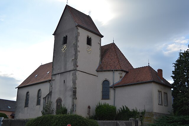

Hambach
- commune in Moselle, France
- Country:

- Postal Code: 57910
- Coordinates: 49° 3' 39" N, 7° 2' 11" E


- GPS tracks (wikiloc): [Link]
- Area: 17.6 sq km
- Population: 2782
- Web site: [Link]


Grosbliederstroff
- commune in Moselle, France
- Country:

- Postal Code: 57520
- Coordinates: 49° 9' 23" N, 7° 1' 40" E


- GPS tracks (wikiloc): [Link]
- Area: 13.07 sq km
- Population: 3348
- Web site: [Link]