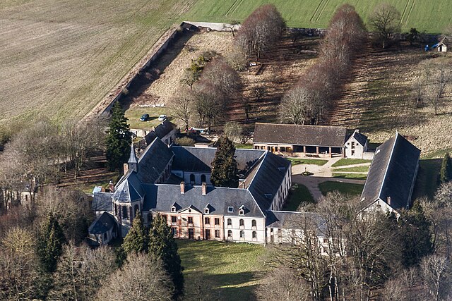
canton of Ferté-Vidame (canton de la Ferté-Vidame)
- canton of France (until March 2015)
- Country:

- Capital: La Ferté-Vidame
- Coordinates: 48° 38' 22" N, 0° 53' 58" E


- GPS tracks (wikiloc): [Link]
- Wikidata storage: Wikidata: Q1504041
- INSEE canton code: [2814]
Includes regions:


La Chapelle-Fortin
- commune in Eure-et-Loir, France
- Country:

- Postal Code: 28340
- Coordinates: 48° 38' 39" N, 0° 51' 54" E


- GPS tracks (wikiloc): [Link]
- Area: 14.41 sq km
- Population: 188


Les Ressuintes
- commune in Eure-et-Loir, France
- Country:

- Postal Code: 28340
- Coordinates: 48° 35' 43" N, 0° 56' 16" E


- GPS tracks (wikiloc): [Link]
- Area: 7.46 sq km
- Population: 129
Lamblore
- commune in Eure-et-Loir, France
- Country:

- Postal Code: 28340
- Coordinates: 48° 37' 30" N, 0° 55' 6" E


- GPS tracks (wikiloc): [Link]
- Area: 10.8 sq km
- Population: 353


Morvilliers
- commune in Eure-et-Loir, France
- Country:

- Postal Code: 28340
- Coordinates: 48° 38' 39" N, 0° 56' 12" E


- GPS tracks (wikiloc): [Link]
- Area: 9.92 sq km
- Population: 155
Rohaire
- commune in Eure-et-Loir, France
- Country:

- Postal Code: 28340
- Coordinates: 48° 40' 12" N, 0° 50' 59" E


- GPS tracks (wikiloc): [Link]
- Area: 10.01 sq km
- Population: 131


Boissy-lès-Perche
- commune in Eure-et-Loir, France
- Country:

- Postal Code: 28340
- Coordinates: 48° 41' 6" N, 0° 53' 18" E


- GPS tracks (wikiloc): [Link]
- Area: 33.66 sq km
- Population: 506


La Ferté-Vidame
- commune in Eure-et-Loir, France
- Country:

- Postal Code: 28340
- Coordinates: 48° 36' 42" N, 0° 54' 3" E


- GPS tracks (wikiloc): [Link]
- Area: 39.81 sq km
- Population: 708