canton of Bas-en-Basset (canton de Bas-en-Basset)

- canton of France
- Country:

- Capital: Bas-en-Basset
- Coordinates: 45° 18' 13" N, 4° 6' 36" E


- GPS tracks (wikiloc): [Link]
- Population: 12807
- Wikipedia en: wiki(en)
- Wikipedia: wiki(fr)
- Wikidata storage: Wikidata: Q248894
- INSEE canton code: [4302]
Includes regions:


Bas-en-Basset
- commune in Haute-Loire, France
- Country:
- Postal Code: 43210
- Coordinates: 45° 18' 22" N, 4° 6' 33" E
- GPS tracks (wikiloc): [Link]
- Area: 46.76 sq km
- Population: 4333


Valprivas
- commune in Haute-Loire, France
- Country:
- Postal Code: 43210
- Coordinates: 45° 18' 41" N, 4° 2' 38" E
- GPS tracks (wikiloc): [Link]
- Area: 23.66 sq km
- Population: 483

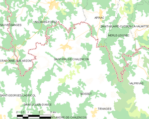
Saint-Pal-de-Chalencon
- commune in Haute-Loire, France
- Country:
- Postal Code: 43500
- Coordinates: 45° 21' 24" N, 3° 57' 25" E
- GPS tracks (wikiloc): [Link]
- AboveSeaLevel: 878 м m
- Area: 28.95 sq km
- Population: 1018
- Web site: [Link]

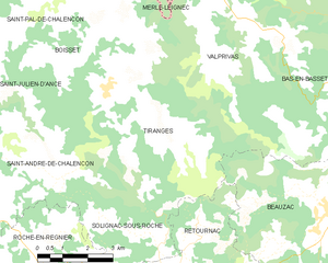
Tiranges
- commune in Haute-Loire, France
- Country:
- Postal Code: 43130
- Coordinates: 45° 18' 15" N, 3° 59' 18" E
- GPS tracks (wikiloc): [Link]
- Area: 26.83 sq km
- Population: 474
Malvalette
- commune in Haute-Loire, France
- Country:
- Postal Code: 43210
- Coordinates: 45° 21' 18" N, 4° 9' 31" E
- GPS tracks (wikiloc): [Link]
- Area: 21.01 sq km
- Population: 813


Boisset
- commune in Haute-Loire, France
- Country:
- Postal Code: 43500
- Coordinates: 45° 19' 26" N, 3° 58' 58" E
- GPS tracks (wikiloc): [Link]
- Area: 14.04 sq km
- Population: 321