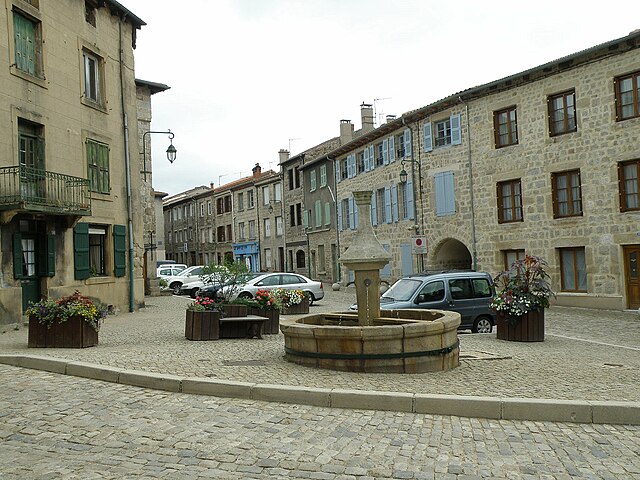
arrondissement of Yssingeaux (arrondissement d'Yssingeaux)
- arrondissement of France
- Country:

- Capital: Yssingeaux
- Coordinates: 45° 10' 0" N, 4° 10' 0" E


- GPS tracks (wikiloc): [Link]
- Population: 84969
- Wikipedia en: wiki(en)
- Wikipedia: wiki(fr)
- Wikidata storage: Wikidata: Q702836
- Freebase ID: [/m/095jz7]
- GeoNames ID: Alt: [2967202]
- INSEE arrondissement code: [433]
- GNS Unique Feature ID: -1478292
Includes regions:

canton of Saint-Didier-en-Velay
- canton of France
- Country:

- Capital: Saint-Didier-en-Velay
- Coordinates: 45° 18' 0" N, 4° 16' 48" E


- GPS tracks (wikiloc): [Link]

canton of Montfaucon-en-Velay
- canton of France (until March 2015)
- Country:

- Capital: Montfaucon-en-Velay
- Coordinates: 45° 11' 8" N, 4° 18' 53" E


- GPS tracks (wikiloc): [Link]


canton of Aurec-sur-Loire
- canton of France
- Country:

- Capital: Aurec-sur-Loire
- Coordinates: 45° 22' 12" N, 4° 12' 0" E


- GPS tracks (wikiloc): [Link]
- Population: 14754


canton of Bas-en-Basset
- canton of France
- Country:

- Capital: Bas-en-Basset
- Coordinates: 45° 18' 13" N, 4° 6' 36" E


- GPS tracks (wikiloc): [Link]
- Population: 12807


canton of Yssingeaux
- canton of France
- Country:

- Capital: Yssingeaux
- Coordinates: 45° 8' 34" N, 4° 7' 17" E


- GPS tracks (wikiloc): [Link]
- Population: 12170


canton of Monistrol-sur-Loire
- canton of France
- Country:

- Capital: Monistrol-sur-Loire
- Coordinates: 45° 17' 31" N, 4° 10' 17" E


- GPS tracks (wikiloc): [Link]
- Population: 13716

canton of Sainte-Sigolène
- canton of France (until March 2015)
- Country:

- Capital: Sainte-Sigolène
- Coordinates: 45° 14' 28" N, 4° 14' 5" E


- GPS tracks (wikiloc): [Link]


