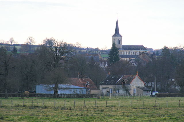
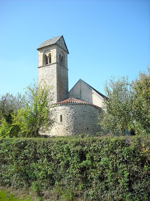
canton of Luzy (canton de Luzy)
- canton of France
- Country:

- Capital: Luzy
- Coordinates: 46° 49' 23" N, 3° 55' 11" E


- GPS tracks (wikiloc): [Link]
- Population: 12348
- Wikipedia en: wiki(en)
- Wikipedia: wiki(fr)
- Wikidata storage: Wikidata: Q1605323
- INSEE canton code: [5810]
Includes regions:


Millay
- commune in Nièvre, France
- Country:

- Postal Code: 58170
- Coordinates: 46° 50' 32" N, 3° 59' 59" E


- GPS tracks (wikiloc): [Link]
- Area: 37.55 sq km
- Population: 448
- Web site: [Link]


Sémelay
- commune in Nièvre, France
- Country:

- Postal Code: 58360
- Coordinates: 46° 51' 6" N, 3° 51' 5" E


- GPS tracks (wikiloc): [Link]
- Area: 33.53 sq km
- Population: 241
Savigny-Poil-Fol
- commune in Nièvre, France
- Country:

- Postal Code: 58170
- Coordinates: 46° 46' 55" N, 3° 51' 29" E


- GPS tracks (wikiloc): [Link]
- Area: 17.3 sq km
- Population: 128
Tazilly
- commune in Nièvre, France
- Country:

- Postal Code: 58170
- Coordinates: 46° 45' 57" N, 3° 54' 52" E


- GPS tracks (wikiloc): [Link]
- Area: 25.81 sq km
- Population: 215


Rémilly
- commune in Nièvre, France
- Country:

- Postal Code: 58250
- Coordinates: 46° 49' 9" N, 3° 48' 53" E


- GPS tracks (wikiloc): [Link]
- Area: 36.43 sq km
- Population: 156


Poil
- commune in Nièvre, France
- Country:

- Postal Code: 58170
- Coordinates: 46° 52' 1" N, 4° 4' 25" E


- GPS tracks (wikiloc): [Link]
- Area: 27.02 sq km
- Population: 142
- Web site: [Link]


Luzy
- commune in Nièvre, France
- Country:

- Postal Code: 58170
- Coordinates: 46° 47' 22" N, 3° 58' 12" E


- GPS tracks (wikiloc): [Link]
- Area: 41.67 sq km
- Population: 1981
- Web site: [Link]


Larochemillay
- commune in Nièvre, France
- Country:

- Postal Code: 58370
- Coordinates: 46° 52' 38" N, 4° 0' 8" E


- GPS tracks (wikiloc): [Link]
- Area: 41.15 sq km
- Population: 233


Lanty
- commune in Nièvre, France
- Country:

- Postal Code: 58250
- Coordinates: 46° 48' 37" N, 3° 50' 28" E


- GPS tracks (wikiloc): [Link]
- Area: 12.06 sq km
- Population: 124
Fléty
- commune in Nièvre, France
- Country:

- Postal Code: 58170
- Coordinates: 46° 47' 24" N, 3° 54' 12" E


- GPS tracks (wikiloc): [Link]
- Area: 20.06 sq km
- Population: 108


Chiddes
- commune in Nièvre, France
- Country:

- Postal Code: 58170
- Coordinates: 46° 51' 40" N, 3° 56' 26" E


- GPS tracks (wikiloc): [Link]
- Area: 26.04 sq km
- Population: 331
- Web site: [Link]


Avrée
- commune in Nièvre, France
- Country:

- Postal Code: 58170
- Coordinates: 46° 49' 7" N, 3° 52' 10" E


- GPS tracks (wikiloc): [Link]
- Area: 13.03 sq km
- Population: 84
