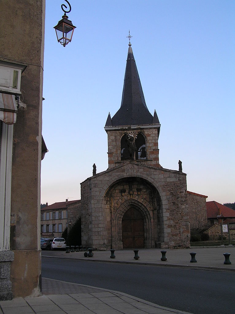
canton of Noirétable (canton de Noirétable)
- canton of France
- Country:

- Capital: Noirétable
- Coordinates: 45° 47' 49" N, 3° 48' 22" E


- GPS tracks (wikiloc): [Link]
- Wikipedia en: wiki(en)
- Wikipedia: wiki(fr)
- Wikidata storage: Wikidata: Q1726523
- INSEE canton code: [4211]
Includes regions:
Saint-Thurin
- commune in Loire, France
- Country:

- Postal Code: 42111
- Coordinates: 45° 48' 58" N, 3° 52' 18" E


- GPS tracks (wikiloc): [Link]
- Area: 7.35 sq km
- Population: 188
Saint-Priest-la-Vêtre
- commune in Loire, France
- Country:

- Postal Code: 42440
- Coordinates: 45° 48' 17" N, 3° 48' 47" E


- GPS tracks (wikiloc): [Link]
- Area: 5.17 sq km
- Population: 153
Saint-Didier-sur-Rochefort
- commune in Loire, France
- Country:

- Postal Code: 42111
- Coordinates: 45° 47' 36" N, 3° 50' 42" E


- GPS tracks (wikiloc): [Link]
- Area: 22.75 sq km
- Population: 405


Saint-Julien-la-Vêtre
- commune in Loire, France
- Country:

- Postal Code: 42440
- Coordinates: 45° 48' 52" N, 3° 49' 29" E


- GPS tracks (wikiloc): [Link]
- Area: 12.9 sq km
- Population: 359


Cervières
- commune in Loire, France
- Country:

- Postal Code: 42440
- Coordinates: 45° 50' 52" N, 3° 46' 20" E


- GPS tracks (wikiloc): [Link]
- Area: 7.56 sq km
- Population: 123


Saint-Jean-la-Vêtre
- commune in Loire, France
- Country:

- Postal Code: 42440
- Coordinates: 45° 47' 21" N, 3° 48' 19" E


- GPS tracks (wikiloc): [Link]
- Area: 16.22 sq km
- Population: 328


Noirétable
- commune in Loire, France
- Country:

- Postal Code: 42440
- Coordinates: 45° 49' 2" N, 3° 45' 54" E


- GPS tracks (wikiloc): [Link]
- Area: 40.34 sq km
- Population: 1611
- Web site: [Link]


Les Salles
- commune in Loire, France
- Country:

- Postal Code: 42440
- Coordinates: 45° 50' 52" N, 3° 47' 37" E


- GPS tracks (wikiloc): [Link]
- AboveSeaLevel: 690 м m
- Area: 25.22 sq km
- Population: 514