canton of Olivet (canton d'Olivet)

- canton of France
- Country:

- Capital: Olivet
- Coordinates: 47° 52' 12" N, 1° 52' 2" E


- GPS tracks (wikiloc): [Link]
- Population: 30117
- Wikipedia en: wiki(en)
- Wikipedia: wiki(fr)
- Wikidata storage: Wikidata: Q1726565
- Library of Congress authority ID: Alt: [n2007010652]
- INSEE canton code: [4512]
Includes regions:


Saint-Pryvé-Saint-Mesmin
- commune in Loiret, France
- Country:
- Postal Code: 45750
- Coordinates: 47° 52' 51" N, 1° 52' 4" E
- GPS tracks (wikiloc): [Link]
- Area: 8.87 sq km
- Population: 5483
- Web site: [Link]

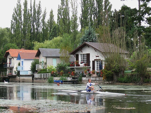
Saint-Hilaire-Saint-Mesmin
- commune in Loiret, France
- Country:
- Postal Code: 45160
- Coordinates: 47° 51' 56" N, 1° 50' 6" E
- GPS tracks (wikiloc): [Link]
- Area: 14.12 sq km
- Population: 2995

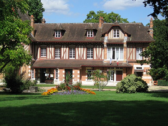
Olivet
- commune in Loiret, France
- Country:
- Postal Code: 45160
- Coordinates: 47° 51' 47" N, 1° 53' 59" E
- GPS tracks (wikiloc): [Link]
- Area: 23.39 sq km
- Population: 21639
- Web site: [Link]