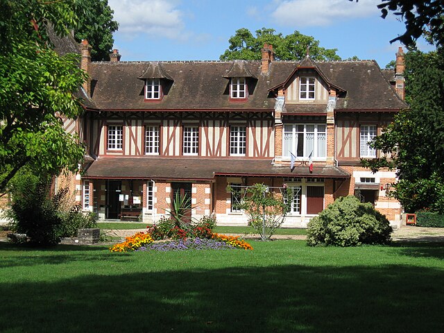
Olivet (Olivet)

- commune in Loiret, France
- Country:

- Postal Code: 45160
- Coordinates: 47° 51' 47" N, 1° 53' 59" E


- GPS tracks (wikiloc): [Link]
- Area: 23.39 sq km
- Population: 21639
- Web site: http://www.ville-olivet.fr
- Wikipedia en: wiki(en)
- Wikipedia: wiki(fr)
- Wikidata storage: Wikidata: Q243866
- Wikipedia Commons Category: [Link]
- Freebase ID: [/m/03nwhrh]
- GeoNames ID: Alt: [6434674]
- SIREN number: [214502320]
- BnF ID: [152606243]
- INSEE municipality code: 45232
Shares border with regions:


Saint-Pryvé-Saint-Mesmin
- commune in Loiret, France
- Country:
- Postal Code: 45750
- Coordinates: 47° 52' 51" N, 1° 52' 4" E
- GPS tracks (wikiloc): [Link]
- Area: 8.87 sq km
- Population: 5483
- Web site: [Link]

Saint-Hilaire-Saint-Mesmin
- commune in Loiret, France
- Country:
- Postal Code: 45160
- Coordinates: 47° 51' 56" N, 1° 50' 6" E
- GPS tracks (wikiloc): [Link]
- Area: 14.12 sq km
- Population: 2995


Saint-Cyr-en-Val
- commune in Loiret, France
- Country:
- Postal Code: 45590
- Coordinates: 47° 49' 48" N, 1° 58' 10" E
- GPS tracks (wikiloc): [Link]
- Area: 44.23 sq km
- Population: 3273
- Web site: [Link]


Ardon
- commune in Loiret, France
- Country:
- Postal Code: 45160
- Coordinates: 47° 46' 42" N, 1° 52' 26" E
- GPS tracks (wikiloc): [Link]
- Area: 53.65 sq km
- Population: 1137
- Web site: [Link]


Orléans
- city in north-central France
- Country:
- Postal Code: 45100; 45000
- Coordinates: 47° 54' 8" N, 1° 54' 15" E
- GPS tracks (wikiloc): [Link]
- AboveSeaLevel: 116 м m
- Area: 27.48 sq km
- Population: 114644
- Web site: [Link]