canton of Puy-l'Évêque (canton de Puy-l'Évêque)

- canton of France
- Country:

- Capital: Puy-l'Évêque
- Coordinates: 44° 29' 41" N, 1° 6' 12" E


- GPS tracks (wikiloc): [Link]
- Population: 11468
- Wikipedia en: wiki(en)
- Wikipedia: wiki(fr)
- Wikidata storage: Wikidata: Q1726839
- INSEE canton code: [4615]
Includes regions:


Pescadoires
- commune in Lot, France
- Country:
- Postal Code: 46220
- Coordinates: 44° 30' 16" N, 1° 9' 26" E
- GPS tracks (wikiloc): [Link]
- Area: 3.28 sq km
- Population: 192


Lagardelle
- commune in Lot, France
- Country:
- Postal Code: 46220
- Coordinates: 44° 29' 34" N, 1° 10' 10" E
- GPS tracks (wikiloc): [Link]
- Area: 3.07 sq km
- Population: 120

Mauroux
- commune in Lot, France
- Country:
- Postal Code: 46700
- Coordinates: 44° 27' 19" N, 1° 2' 47" E
- GPS tracks (wikiloc): [Link]
- AboveSeaLevel: 213 м m
- Area: 16.2 sq km
- Population: 518
- Web site: [Link]

Soturac
- commune in Lot, France
- Country:
- Postal Code: 46700
- Coordinates: 44° 29' 19" N, 1° 1' 0" E
- GPS tracks (wikiloc): [Link]
- Area: 19.55 sq km
- Population: 627
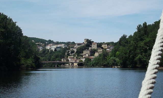

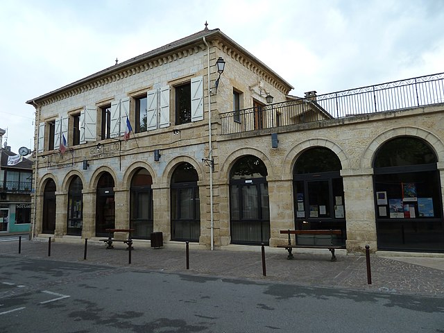
Puy-l'Évêque
- commune in Lot, France
- Country:
- Postal Code: 46700
- Coordinates: 44° 30' 16" N, 1° 8' 18" E
- GPS tracks (wikiloc): [Link]
- Area: 26.38 sq km
- Population: 2002
- Web site: [Link]
Saint-Martin-le-Redon
- commune in Lot, France
- Country:
- Postal Code: 46700
- Coordinates: 44° 31' 50" N, 1° 2' 33" E
- GPS tracks (wikiloc): [Link]
- Area: 10.6 sq km
- Population: 211


Floressas
- commune in Lot, France
- Country:
- Postal Code: 46700
- Coordinates: 44° 26' 38" N, 1° 7' 17" E
- GPS tracks (wikiloc): [Link]
- Area: 13.84 sq km
- Population: 161
- Web site: [Link]
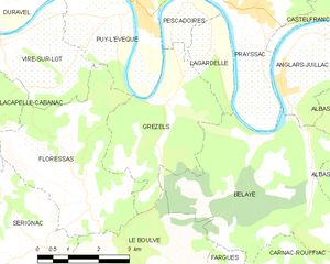
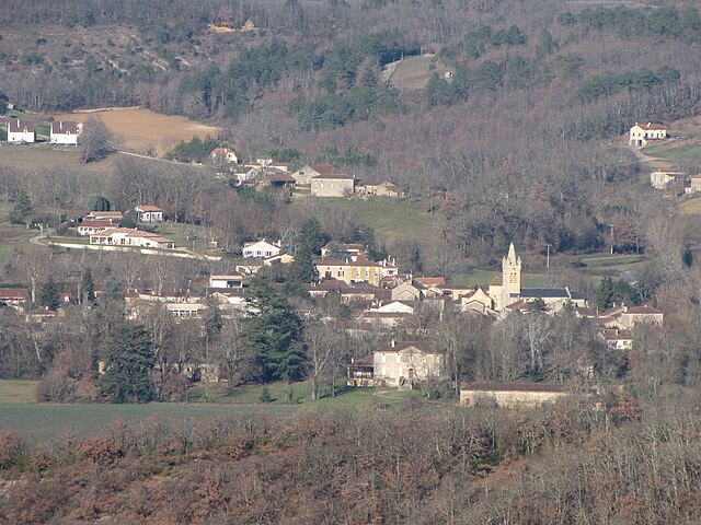
Grézels
- commune in Lot, France
- Country:
- Postal Code: 46700
- Coordinates: 44° 28' 30" N, 1° 9' 9" E
- GPS tracks (wikiloc): [Link]
- Area: 10.79 sq km
- Population: 237


Lacapelle-Cabanac
- commune in Lot, France
- Country:
- Postal Code: 46700
- Coordinates: 44° 27' 55" N, 1° 4' 9" E
- GPS tracks (wikiloc): [Link]
- Area: 8.04 sq km
- Population: 163

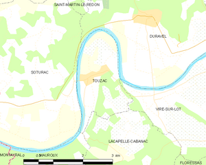
Touzac
- commune in Lot, France
- Country:
- Postal Code: 46700
- Coordinates: 44° 29' 50" N, 1° 3' 19" E
- GPS tracks (wikiloc): [Link]
- Area: 4.89 sq km
- Population: 376


Sérignac
- commune in Lot, France
- Country:
- Postal Code: 46700
- Coordinates: 44° 26' 3" N, 1° 6' 17" E
- GPS tracks (wikiloc): [Link]
- AboveSeaLevel: 250 м m
- Area: 18.44 sq km
- Population: 300
- Web site: [Link]

Prayssac
- commune in Lot, France
- Country:
- Postal Code: 46220
- Coordinates: 44° 30' 14" N, 1° 11' 17" E
- GPS tracks (wikiloc): [Link]
- AboveSeaLevel: 107 м m
- Area: 24.05 sq km
- Population: 2452
- Web site: [Link]


Cassagnes
- commune in Lot, France
- Country:
- Postal Code: 46700
- Coordinates: 44° 33' 33" N, 1° 8' 20" E
- GPS tracks (wikiloc): [Link]
- Area: 11.62 sq km
- Population: 198

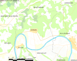
Duravel
- commune in Lot, France
- Country:
- Postal Code: 46700
- Coordinates: 44° 30' 59" N, 1° 4' 47" E
- GPS tracks (wikiloc): [Link]
- Area: 14.97 sq km
- Population: 974
Vire-sur-Lot
- commune in Lot, France
- Country:
- Postal Code: 46700
- Coordinates: 44° 29' 27" N, 1° 5' 13" E
- GPS tracks (wikiloc): [Link]
- AboveSeaLevel: 110 м m
- Area: 7.77 sq km
- Population: 364
- Web site: [Link]


Montcabrier
- commune in Lot, France
- Country:
- Postal Code: 46700
- Coordinates: 44° 32' 30" N, 1° 4' 27" E
- GPS tracks (wikiloc): [Link]
- AboveSeaLevel: 191 м m
- Area: 21.75 sq km
- Population: 353