canton of Saint-Gaultier (canton de Saint-Gaultier)

- canton of France
- Country:

- Capital: Saint-Gaultier
- Coordinates: 46° 38' 10" N, 1° 25' 16" E


- GPS tracks (wikiloc): [Link]
- Population: 16690
- Wikipedia en: wiki(en)
- Wikipedia: wiki(fr)
- Wikidata storage: Wikidata: Q721033
- Wikipedia Commons Category: [Link]
- INSEE canton code: [3612]
Includes regions:


Oulches
- commune in Indre, France
- Country:
- Postal Code: 36800
- Coordinates: 46° 36' 55" N, 1° 17' 50" E
- GPS tracks (wikiloc): [Link]
- Area: 43.36 sq km
- Population: 407


Migné
- commune in Indre, France
- Country:
- Postal Code: 36800
- Coordinates: 46° 43' 0" N, 1° 19' 1" E
- GPS tracks (wikiloc): [Link]
- Area: 56.32 sq km
- Population: 278


Nuret-le-Ferron
- commune in Indre, France
- Country:
- Postal Code: 36800
- Coordinates: 46° 41' 3" N, 1° 25' 59" E
- GPS tracks (wikiloc): [Link]
- Area: 47.29 sq km
- Population: 311


Rivarennes
- commune in Indre, France
- Country:
- Postal Code: 36800
- Coordinates: 46° 38' 8" N, 1° 23' 8" E
- GPS tracks (wikiloc): [Link]
- Area: 37.41 sq km
- Population: 571


Chitray
- commune in Indre, France
- Country:
- Postal Code: 36800
- Coordinates: 46° 38' 8" N, 1° 21' 32" E
- GPS tracks (wikiloc): [Link]
- Area: 19.94 sq km
- Population: 176
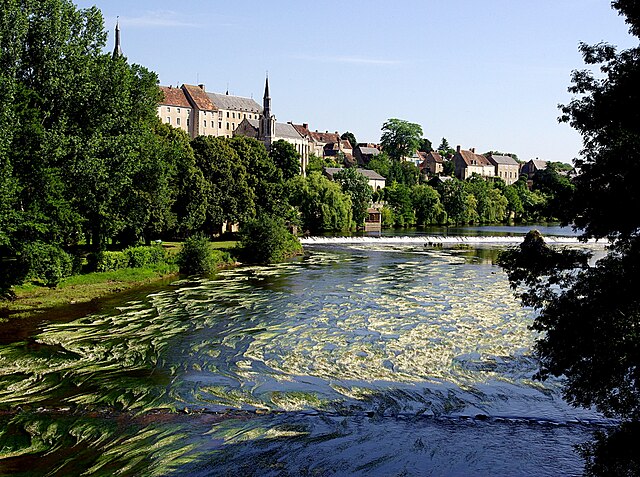

Saint-Gaultier
- commune in Indre, France
- Country:
- Postal Code: 36800
- Coordinates: 46° 38' 7" N, 1° 25' 13" E
- GPS tracks (wikiloc): [Link]
- Area: 9.2 sq km
- Population: 1823
- Web site: [Link]


Thenay
- commune in Indre, France
- Country:
- Postal Code: 36800
- Coordinates: 46° 37' 48" N, 1° 25' 44" E
- GPS tracks (wikiloc): [Link]
- Area: 34.21 sq km
- Population: 874


Luzeret
- commune in Indre, France
- Country:
- Postal Code: 36800
- Coordinates: 46° 32' 30" N, 1° 23' 32" E
- GPS tracks (wikiloc): [Link]
- Area: 26.78 sq km
- Population: 149