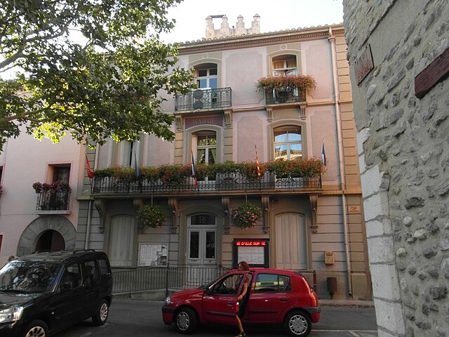
canton of Vinça (canton de Vinça)
- canton of France
- Country:

- Capital: Vinça
- Coordinates: 42° 34' 8" N, 2° 34' 41" E


- GPS tracks (wikiloc): [Link]
- Wikipedia en: wiki(en)
- Wikipedia: wiki(fr)
- Wikidata storage: Wikidata: Q569285
- Wikipedia Commons Category: [Link]
Includes regions:


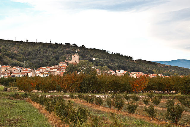
Casefabre
- commune in Pyrénées-Orientales, France
- Country:
- Postal Code: 66130
- Coordinates: 42° 36' 58" N, 2° 36' 53" E
- GPS tracks (wikiloc): [Link]
- Area: 6.99 sq km
- Population: 40


Montalba-le-Château
- commune in Pyrénées-Orientales, France
- Country:
- Postal Code: 66130
- Coordinates: 42° 41' 45" N, 2° 33' 35" E
- GPS tracks (wikiloc): [Link]
- Area: 15.9 sq km
- Population: 148

Bouleternère
- commune in Pyrénées-Orientales, France
- Country:
- Postal Code: 66130
- Coordinates: 42° 38' 59" N, 2° 35' 12" E
- GPS tracks (wikiloc): [Link]
- AboveSeaLevel: 180 м m
- Area: 10.63 sq km
- Population: 927


Saint-Michel-de-Llotes
- commune in Pyrénées-Orientales, France
- Country:
- Postal Code: 66130
- Coordinates: 42° 38' 56" N, 2° 37' 26" E
- GPS tracks (wikiloc): [Link]
- Area: 8.64 sq km
- Population: 339

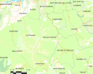
Boule-d'Amont
- commune in Pyrénées-Orientales, France
- Country:
- Postal Code: 66130
- Coordinates: 42° 34' 46" N, 2° 36' 49" E
- GPS tracks (wikiloc): [Link]
- AboveSeaLevel: 483 м m
- Area: 23.22 sq km
- Population: 59


Prunet-et-Belpuig
- commune in Pyrénées-Orientales, France
- Country:
- Postal Code: 66130
- Coordinates: 42° 33' 43" N, 2° 37' 29" E
- GPS tracks (wikiloc): [Link]
- Area: 21.68 sq km
- Population: 49

Ille-sur-Têt
- commune in Pyrénées-Orientales, France
- Country:
- Postal Code: 66130
- Coordinates: 42° 40' 14" N, 2° 37' 14" E
- GPS tracks (wikiloc): [Link]
- Area: 31.67 sq km
- Population: 5466
- Web site: [Link]