Carbonne (Carbonne)

- commune in Haute-Garonne, France
- Country:

- Postal Code: 31390
- Coordinates: 43° 17' 50" N, 1° 13' 9" E


- GPS tracks (wikiloc): [Link]
- Area: 26.59 sq km
- Population: 5502
- Web site: http://www.ville-carbonne.fr
- Wikipedia en: wiki(en)
- Wikipedia: wiki(fr)
- Wikidata storage: Wikidata: Q1088735
- Wikipedia Commons Category: [Link]
- Freebase ID: [/m/03nq1yz]
- Freebase ID: [/m/03nq1yz]
- GeoNames ID: Alt: [3028652]
- GeoNames ID: Alt: [3028652]
- SIREN number: [213101074]
- SIREN number: [213101074]
- BnF ID: [15255103r]
- BnF ID: [15255103r]
- VIAF ID: Alt: [153719872]
- VIAF ID: Alt: [153719872]
- Library of Congress authority ID: Alt: [n88604445]
- Library of Congress authority ID: Alt: [n88604445]
- WOEID: [583037]
- WOEID: [583037]
- INSEE municipality code: 31107
- INSEE municipality code: 31107
Shares border with regions:

Latrape
- commune in Haute-Garonne, France
- Country:
- Postal Code: 31310
- Coordinates: 43° 14' 41" N, 1° 17' 20" E
- GPS tracks (wikiloc): [Link]
- Area: 19.08 sq km
- Population: 356


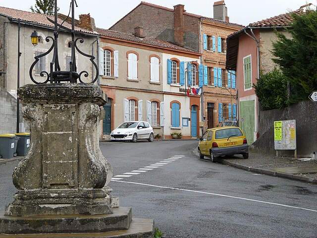
Capens
- commune in Haute-Garonne, France
- Country:
- Postal Code: 31410
- Coordinates: 43° 20' 13" N, 1° 15' 34" E
- GPS tracks (wikiloc): [Link]
- Area: 6.77 sq km
- Population: 677
- Web site: [Link]

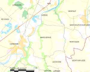
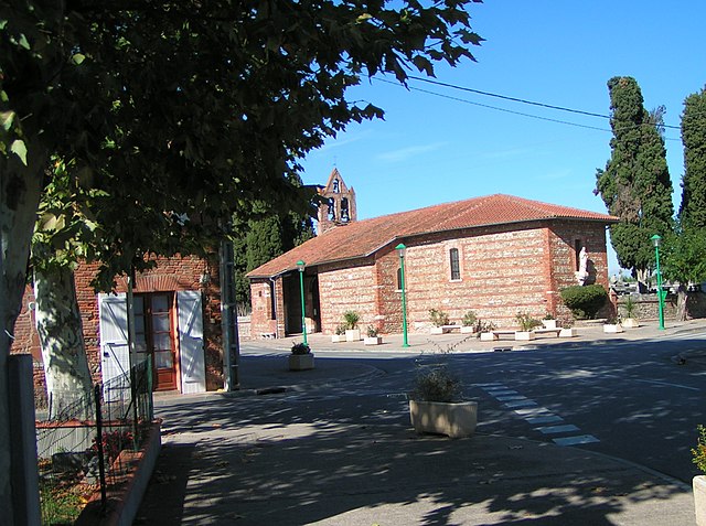
Marquefave
- commune in Haute-Garonne, France
- Country:
- Postal Code: 31390
- Coordinates: 43° 19' 1" N, 1° 14' 47" E
- GPS tracks (wikiloc): [Link]
- Area: 18.92 sq km
- Population: 997
- Web site: [Link]


Lafitte-Vigordane
- commune in Haute-Garonne, France
- Country:
- Postal Code: 31390
- Coordinates: 43° 17' 59" N, 1° 9' 47" E
- GPS tracks (wikiloc): [Link]
- AboveSeaLevel: 227 м m
- Area: 11.38 sq km
- Population: 1140
- Web site: [Link]


Longages
- commune in Haute-Garonne, France
- Country:
- Postal Code: 31410
- Coordinates: 43° 21' 18" N, 1° 14' 24" E
- GPS tracks (wikiloc): [Link]
- Area: 21.42 sq km
- Population: 2958
- Web site: [Link]

Peyssies
- commune in Haute-Garonne, France
- Country:
- Postal Code: 31390
- Coordinates: 43° 19' 16" N, 1° 10' 38" E
- GPS tracks (wikiloc): [Link]
- AboveSeaLevel: 225 м m
- Area: 6.37 sq km
- Population: 560


Lacaugne
- commune in Haute-Garonne, France
- Country:
- Postal Code: 31390
- Coordinates: 43° 17' 12" N, 1° 16' 16" E
- GPS tracks (wikiloc): [Link]
- Area: 6.06 sq km
- Population: 205
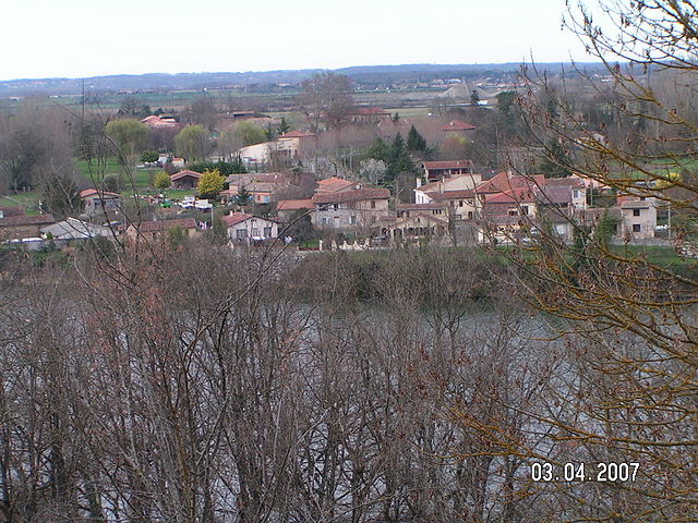

Salles-sur-Garonne
- commune in Haute-Garonne, France
- Country:
- Postal Code: 31390
- Coordinates: 43° 16' 22" N, 1° 10' 47" E
- GPS tracks (wikiloc): [Link]
- Area: 5.68 sq km
- Population: 552
- Web site: [Link]

Rieux-Volvestre
- commune in Haute-Garonne, France
- Country:
- Postal Code: 31310
- Coordinates: 43° 15' 27" N, 1° 11' 49" E
- GPS tracks (wikiloc): [Link]
- Area: 32.38 sq km
- Population: 2570
- Web site: [Link]