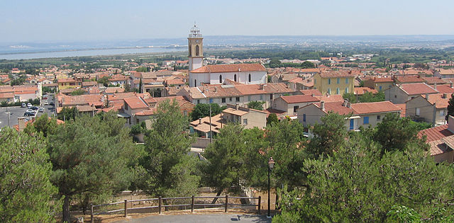
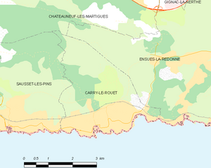
Carry-le-Rouet (Carry-le-Rouet)
- commune in Bouches-du-Rhône, France
- Country:

- Postal Code: 13620
- Coordinates: 43° 19' 55" N, 5° 9' 7" E


- GPS tracks (wikiloc): [Link]
- AboveSeaLevel: 4 м m
- Area: 10.1 sq km
- Population: 5891
- Web site: http://www.mairie-carrylerouet.fr
- Wikipedia en: wiki(en)
- Wikipedia: wiki(fr)
- Wikidata storage: Wikidata: Q239631
- Wikipedia Commons Category: [Link]
- Freebase ID: [/m/064_0_]
- GeoNames ID: Alt: [6447113]
- SIREN number: [211300215]
- BnF ID: [15247303k]
- VIAF ID: Alt: [147212235]
- GND ID: Alt: [4474650-7]
- Library of Congress authority ID: Alt: [n82054823]
- PACTOLS thesaurus ID: [pcrt3udg5tiKiJ]
- MusicBrainz area ID: [8e546d41-feb5-41c5-b4cc-7a11573be598]
- SUDOC authorities ID: [067102344]
- Digital Atlas of the Roman Empire ID: [14037]
- INSEE municipality code: 13021
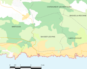
Shares border with regions:


Châteauneuf-les-Martigues
- commune in Bouches-du-Rhône, France
- Country:

- Postal Code: 13220
- Coordinates: 43° 22' 59" N, 5° 9' 51" E


- GPS tracks (wikiloc): [Link]
- Area: 31.65 sq km
- Population: 15057
- Web site: [Link]


Sausset-les-Pins
- commune in Bouches-du-Rhône, France
- Country:

- Postal Code: 13960
- Coordinates: 43° 19' 56" N, 5° 6' 50" E


- GPS tracks (wikiloc): [Link]
- AboveSeaLevel: 2 м m
- Area: 12.1 sq km
- Population: 7624
- Web site: [Link]


Ensuès-la-Redonne
- commune in Bouches-du-Rhône, France
- Country:

- Postal Code: 13820
- Coordinates: 43° 21' 21" N, 5° 12' 15" E


- GPS tracks (wikiloc): [Link]
- Area: 25.83 sq km
- Population: 5467
- Web site: [Link]
