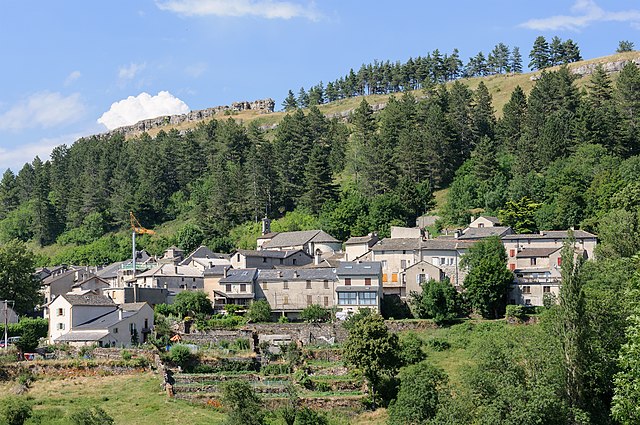
Cassagnas (Cassagnas)

- commune in Lozère, France
- Country:

- Postal Code: 48400
- Coordinates: 44° 16' 15" N, 3° 44' 47" E


- GPS tracks (wikiloc): [Link]
- Area: 35.19 sq km
- Population: 117
- Wikipedia en: wiki(en)
- Wikipedia: wiki(fr)
- Wikidata storage: Wikidata: Q1018425
- Wikipedia Commons Category: [Link]
- Freebase ID: [/m/02z0vzb]
- Freebase ID: [/m/02z0vzb]
- GeoNames ID: Alt: [6455137]
- GeoNames ID: Alt: [6455137]
- SIREN number: [214800369]
- SIREN number: [214800369]
- BnF ID: [152614432]
- BnF ID: [152614432]
- INSEE municipality code: 48036
- INSEE municipality code: 48036
Shares border with regions:


Saint-Germain-de-Calberte
- commune in Lozère, France
- Country:
- Postal Code: 48370
- Coordinates: 44° 13' 4" N, 3° 48' 34" E
- GPS tracks (wikiloc): [Link]
- Area: 38.6 sq km
- Population: 440

Barre-des-Cévennes
- commune in Lozère, France
- Country:
- Postal Code: 48400
- Coordinates: 44° 14' 41" N, 3° 39' 12" E
- GPS tracks (wikiloc): [Link]
- Area: 34.29 sq km
- Population: 199


Saint-Martin-de-Lansuscle
- commune in Lozère, France
- Country:
- Postal Code: 48110
- Coordinates: 44° 12' 58" N, 3° 45' 11" E
- GPS tracks (wikiloc): [Link]
- Area: 18.05 sq km
- Population: 189


Saint-André-de-Lancize
- commune in Lozère, France
- Country:
- Postal Code: 48240
- Coordinates: 44° 15' 29" N, 3° 48' 37" E
- GPS tracks (wikiloc): [Link]
- Area: 22.78 sq km
- Population: 128