Castelluccio Valmaggiore (Castelluccio Valmaggiore)
.svg)
- Italian comune
 Hiking in Castelluccio Valmaggiore
Castelluccio Valmaggiore is a charming village located in the province of Foggia in the Apulia region of Italy. It is set amidst the beautiful landscape of the Gargano National Park, which offers a variety of hiking opportunities for both beginners and experienced hikers.
Hiking Trails
-
Foresta Umbra: One of the most popular hiking areas near Castelluccio Valmaggiore is the Foresta Umbra, a dense forest known for its rich biodiversity and scenic beauty. The trails here vary in difficulty and length, allowing hikers to tailor their experience based on their fitness level.
-
Monte Calvo: This is the highest peak in the Gargano area. The trail to Monte Calvo offers stunning panoramic views of the surrounding landscapes. The trek can be challenging but is rewarding due to the breathtaking vistas.
-
Sentiero dei Daini: This trail is particularly famous for its wildlife, especially deer. It’s a relatively easy path that allows hikers to enjoy the flora and fauna of the region while taking in the beautiful surroundings.
Best Time to Hike
The ideal time for hiking in Castelluccio Valmaggiore is during the spring (April to June) and fall (September to October) when the weather is generally mild and comfortable. Summers can be hot, while winters may bring some cold weather and occasional snow in higher elevations.
Preparation
- Footwear: Sturdy hiking boots with good traction are essential due to the often rocky and uneven terrain.
- Water and Snacks: Always bring enough water and food to keep your energy levels up during the hike.
- Map/GPS: While many trails are marked, it’s advisable to have a map or a GPS device for guidance, especially on longer hikes.
- Clothing: Dress in layers, as temperatures can fluctuate significantly throughout the day.
Local Flora and Fauna
The area around Castelluccio Valmaggiore is rich in biodiversity. Hikers may encounter various species of plants, flowers, and animals unique to the Gargano region. Keep an eye out for local wildlife, including deer, wild boars, and a variety of birds.
Cultural and Historical Aspects
Aside from its natural beauty, Castelluccio Valmaggiore offers a glimpse into local culture and history. The village itself features charming stone buildings and local eateries where you can enjoy traditional Apulian cuisine after a day of hiking.
Safety Considerations
Always inform someone about your hiking plans, especially if you are heading out on more remote trails. Following marked paths and adhering to local regulations will help ensure a safe hiking experience.
Overall, hiking in Castelluccio Valmaggiore offers a memorable experience combining natural beauty, physical activity, and cultural immersion. Enjoy your adventure!
- Country:

- Postal Code: 71020
- Local Dialing Code: 0881
- Licence Plate Code: FG
- Coordinates: 41° 21' 0" N, 15° 12' 0" E


- GPS tracks (wikiloc): [Link]
- AboveSeaLevel: 630 м m
- Area: 26.79 sq km
- Population: 1276
- Web site: http://www.comune.castellucciovalmaggiore.fg.it/
- Wikipedia en: wiki(en)
- Wikipedia: wiki(it)
- Wikidata storage: Wikidata: Q51919
- Wikipedia Commons Category: [Link]
- Freebase ID: [/m/0fz5wh]
- GeoNames ID: Alt: [6541248]
- OSM relation ID: [41253]
- Digital Atlas of the Roman Empire ID: [29196]
- ISTAT ID: 071016
- Italian cadastre code: C202
Shares border with regions:


Biccari
- Italian comune
Hiking in Biccari
Biccari is a charming village located in the Apennine region of Italy, within the province of Foggia in Puglia. The area is known for its picturesque landscapes, rolling hills, and rich natural beauty, making it a great destination for hiking enthusiasts....
- Country:
- Postal Code: 71032
- Local Dialing Code: 0881
- Licence Plate Code: FG
- Coordinates: 41° 24' 0" N, 15° 12' 0" E
- GPS tracks (wikiloc): [Link]
- AboveSeaLevel: 450 м m
- Area: 106.65 sq km
- Population: 2760
- Web site: [Link]


Celle di San Vito
- Italian comune
Hiking in Celle di San Vito
Celle di San Vito is a charming village located in the Apennine region of Italy, known for its stunning landscapes and rich natural beauty, making it a great destination for hiking enthusiasts. Here are some highlights and considerations for hiking in and around Celle di San Vito:...
- Country:
- Postal Code: 71020
- Local Dialing Code: 0881
- Licence Plate Code: FG
- Coordinates: 41° 20' 0" N, 15° 11' 0" E
- GPS tracks (wikiloc): [Link]
- AboveSeaLevel: 726 м m
- Area: 18.41 sq km
- Population: 160
- Web site: [Link]


Faeto
- Italian comune
Hiking in Faeto
Faeto is a small village located in the Apulia region of southern Italy, nestled in the hills of the Daunia mountains. This picturesque area offers a variety of hiking opportunities characterized by beautiful landscapes, rich natural diversity, and a somewhat mild climate....
- Country:
- Postal Code: 71020
- Local Dialing Code: 0881
- Licence Plate Code: FG
- Coordinates: 41° 19' 30" N, 15° 9' 39" E
- GPS tracks (wikiloc): [Link]
- AboveSeaLevel: 820 м m
- Area: 26.1 sq km
- Population: 628
- Web site: [Link]

Lucera
- Italian comune
Hiking in Lucera
Lucera, located in the Apulia region of southern Italy, offers a variety of hiking opportunities that allow you to experience the beautiful landscapes, historical sites, and unique flora and fauna of the area. Here are some key points to consider for hiking in and around Lucera:...
- Country:
- Postal Code: 71036
- Local Dialing Code: 0881
- Licence Plate Code: FG
- Coordinates: 41° 30' 0" N, 15° 20' 0" E
- GPS tracks (wikiloc): [Link]
- AboveSeaLevel: 50 м m
- Area: 339.79 sq km
- Population: 33085
- Web site: [Link]


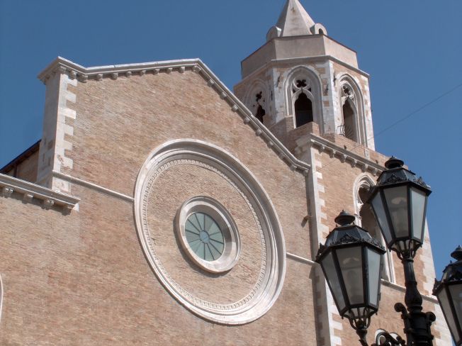
Troia, Apulia
- Italian comune
Hiking in Troia, Apulia
Troia is a charming town located in the Apulia region of southern Italy, known for its rich history and beautiful landscapes. Hiking in and around Troia offers a mix of cultural experiences and natural beauty, making it a great destination for outdoor enthusiasts. Here are some highlights for hiking in this area:...
- Country:
- Postal Code: 71029
- Local Dialing Code: 0881
- Licence Plate Code: FG
- Coordinates: 41° 22' 0" N, 15° 18' 0" E
- GPS tracks (wikiloc): [Link]
- AboveSeaLevel: 439 м m
- Area: 168.25 sq km
- Population: 7100
- Web site: [Link]