Castelnaudary (Castelnaudary)
- commune in Aude, France
- Country:

- Postal Code: 11400
- Coordinates: 43° 19' 5" N, 1° 57' 14" E


- GPS tracks (wikiloc): [Link]
- AboveSeaLevel: 165 м m
- Area: 47.72 sq km
- Population: 10969
- Web site: http://www.ville-castelnaudary.fr/
- Wikipedia en: wiki(en)
- Wikipedia: wiki(fr)
- Wikidata storage: Wikidata: Q193861
- Wikipedia Commons Gallery: [Link]
- Wikipedia Commons Category: [Link]
- Freebase ID: [/m/0502zk]
- Freebase ID: [/m/0502zk]
- GeoNames ID: Alt: [3028351]
- GeoNames ID: Alt: [3028351]
- SIREN number: [211100763]
- SIREN number: [211100763]
- BnF ID: [15246613g]
- BnF ID: [15246613g]
- VIAF ID: Alt: [131372800]
- VIAF ID: Alt: [131372800]
- GND ID: Alt: [4302480-4]
- GND ID: Alt: [4302480-4]
- Library of Congress authority ID: Alt: [n82098414]
- Library of Congress authority ID: Alt: [n82098414]
- Digital Atlas of the Roman Empire ID: [11152]
- Digital Atlas of the Roman Empire ID: [11152]
- data.gouv.fr org ID: [ville-de-castelnaudary]
- data.gouv.fr org ID: [ville-de-castelnaudary]
- INSEE municipality code: 11076
- INSEE municipality code: 11076
Shares border with regions:
Ricaud
- commune in Aude, France
- Country:

- Postal Code: 11400
- Coordinates: 43° 20' 45" N, 1° 53' 27" E


- GPS tracks (wikiloc): [Link]
- Area: 5.92 sq km
- Population: 301


Villeneuve-la-Comptal
- commune in Aude, France
- Country:

- Postal Code: 11400
- Coordinates: 43° 17' 13" N, 1° 55' 17" E


- GPS tracks (wikiloc): [Link]
- Area: 15.1 sq km
- Population: 1243


Saint-Martin-Lalande
- commune in Aude, France
- Country:

- Postal Code: 11400
- Coordinates: 43° 17' 58" N, 2° 1' 10" E


- GPS tracks (wikiloc): [Link]
- Area: 12.65 sq km
- Population: 1116
Souilhe
- commune in Aude, France
- Country:

- Postal Code: 11400
- Coordinates: 43° 22' 11" N, 1° 54' 50" E


- GPS tracks (wikiloc): [Link]
- Area: 4.2 sq km
- Population: 315


Mireval-Lauragais
- commune in Aude, France
- Country:

- Postal Code: 11400
- Coordinates: 43° 15' 16" N, 1° 57' 30" E


- GPS tracks (wikiloc): [Link]
- Area: 10.32 sq km
- Population: 154


Fendeille
- commune in Aude, France
- Country:

- Postal Code: 11400
- Coordinates: 43° 16' 11" N, 1° 56' 38" E


- GPS tracks (wikiloc): [Link]
- Area: 7.17 sq km
- Population: 563
Peyrens
- commune in Aude, France
- Country:

- Postal Code: 11400
- Coordinates: 43° 21' 42" N, 1° 57' 35" E


- GPS tracks (wikiloc): [Link]
- Area: 4.77 sq km
- Population: 501


Saint-Papoul
- commune in Aude, France
- Country:

- Postal Code: 11400
- Coordinates: 43° 19' 52" N, 2° 2' 10" E


- GPS tracks (wikiloc): [Link]
- Area: 26.48 sq km
- Population: 797
Souilhanels
- commune in Aude, France
- Country:

- Postal Code: 11400
- Coordinates: 43° 21' 2" N, 1° 55' 7" E


- GPS tracks (wikiloc): [Link]
- Area: 2.72 sq km
- Population: 377


Mas-Saintes-Puelles
- commune in Aude, France
- Country:

- Postal Code: 11400
- Coordinates: 43° 18' 47" N, 1° 52' 36" E


- GPS tracks (wikiloc): [Link]
- Area: 27.63 sq km
- Population: 911
- Web site: [Link]


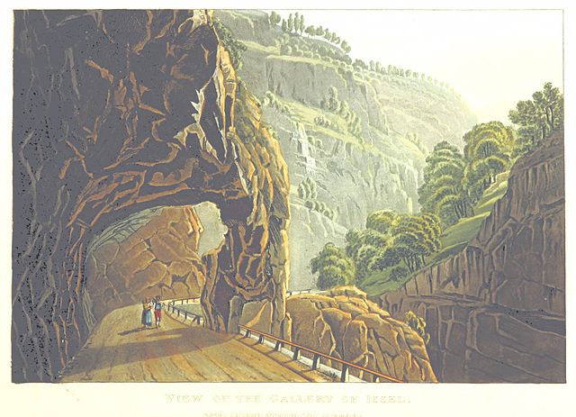
Issel
- commune in Aude, France
- Country:

- Postal Code: 11400
- Coordinates: 43° 22' 1" N, 1° 59' 24" E


- GPS tracks (wikiloc): [Link]
- Area: 17.66 sq km
- Population: 493
