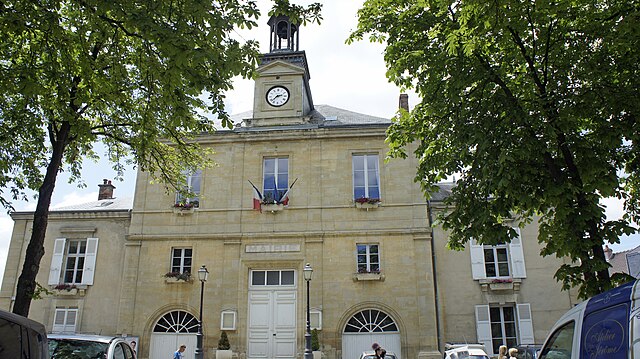
Cauroy-lès-Hermonville (Cauroy-lès-Hermonville)

- commune in Marne, France
- Country:

- Postal Code: 51220
- Coordinates: 49° 20' 56" N, 3° 55' 29" E


- GPS tracks (wikiloc): [Link]
- Area: 10.27 sq km
- Population: 515
- Web site: http://www.cauroy-les-hermonville.fr/
- Wikipedia en: wiki(en)
- Wikipedia: wiki(fr)
- Wikidata storage: Wikidata: Q1214742
- Wikipedia Commons Category: [Link]
- Freebase ID: [/m/03qd4nb]
- GeoNames ID: Alt: [3028165]
- SIREN number: [215100959]
- BnF ID: [15262715w]
- INSEE municipality code: 51102
Shares border with regions:


Bouvancourt
- commune in Marne, France
- Country:
- Postal Code: 51140
- Coordinates: 49° 20' 17" N, 3° 50' 4" E
- GPS tracks (wikiloc): [Link]
- Area: 12.91 sq km
- Population: 197


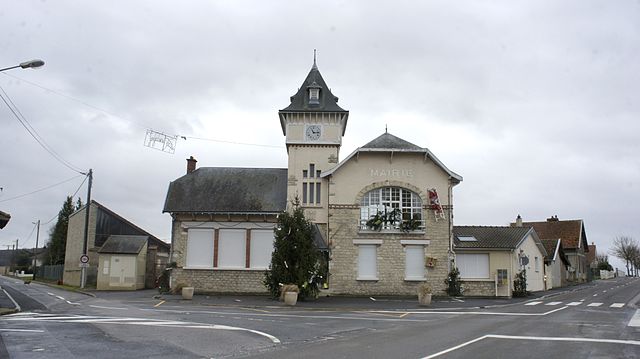
Loivre
- commune in Marne, France
- Country:
- Postal Code: 51220
- Coordinates: 49° 20' 46" N, 3° 58' 47" E
- GPS tracks (wikiloc): [Link]
- Area: 10.24 sq km
- Population: 1276

Hermonville
- commune in Marne, France
- Country:
- Postal Code: 51220
- Coordinates: 49° 20' 7" N, 3° 54' 31" E
- GPS tracks (wikiloc): [Link]
- Area: 13.3 sq km
- Population: 1476

Berméricourt
- commune in Marne, France
- Country:
- Postal Code: 51220
- Coordinates: 49° 21' 28" N, 3° 59' 32" E
- GPS tracks (wikiloc): [Link]
- Area: 8.01 sq km
- Population: 198


Cormicy
- former commune in Marne, France
- Country:
- Postal Code: 51220
- Coordinates: 49° 22' 17" N, 3° 53' 45" E
- GPS tracks (wikiloc): [Link]
- Area: 24.27 sq km
- Population: 1410