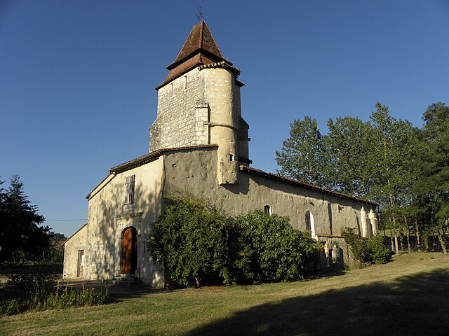
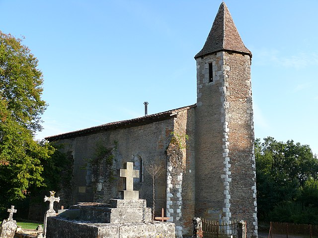
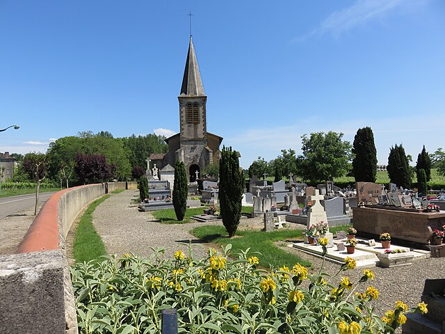
Cazaubon (Cazaubon)
- commune in Gers, France
- Country:

- Postal Code: 32150
- Coordinates: 43° 56' 5" N, 0° 4' 18" E


- GPS tracks (wikiloc): [Link]
- AboveSeaLevel: 124 м m
- Area: 55.64 sq km
- Population: 1661
- Web site: http://www.mairie-cazaubon.fr
- Wikipedia en: wiki(en)
- Wikipedia: wiki(fr)
- Wikidata storage: Wikidata: Q1041932
- Wikipedia Commons Category: [Link]
- Freebase ID: [/m/03nrpcq]
- GeoNames ID: Alt: [3028072]
- SIREN number: [213200967]
- BnF ID: [15255683m]
- VIAF ID: Alt: [235237463]
- GND ID: Alt: [4709815-6]
- WOEID: [583496]
- INSEE municipality code: 32096
Shares border with regions:


Larée
- commune in Gers, France
- Country:

- Postal Code: 32150
- Coordinates: 43° 54' 20" N, 0° 3' 18" E


- GPS tracks (wikiloc): [Link]
- Area: 12.87 sq km
- Population: 232


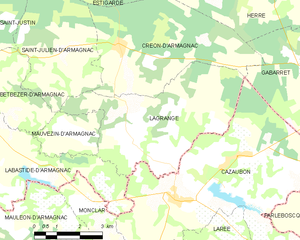
Lagrange
- commune in Landes, France
- Country:

- Postal Code: 40240
- Coordinates: 43° 58' 22" N, 0° 6' 1" E


- GPS tracks (wikiloc): [Link]
- Area: 21.13 sq km
- Population: 202


Labastide-d'Armagnac
- commune in Landes, France
- Country:

- Postal Code: 40240
- Coordinates: 43° 58' 10" N, 0° 11' 10" E


- GPS tracks (wikiloc): [Link]
- Area: 31.87 sq km
- Population: 684
- Web site: [Link]


Gabarret
- commune in Landes, France
- Country:

- Postal Code: 40310
- Coordinates: 43° 59' 12" N, 0° 0' 38" E


- GPS tracks (wikiloc): [Link]
- Area: 16.9 sq km
- Population: 1301
- Web site: [Link]


Marguestau
- commune in Gers, France
- Country:

- Postal Code: 32150
- Coordinates: 43° 53' 5" N, 0° 2' 29" E


- GPS tracks (wikiloc): [Link]
- Area: 3.21 sq km
- Population: 73


Parleboscq
- commune in Landes, France
- Country:

- Postal Code: 40310
- Coordinates: 43° 56' 36" N, 0° 0' 56" E


- GPS tracks (wikiloc): [Link]
- Area: 40.19 sq km
- Population: 509


Ayzieu
- commune in Gers, France
- Country:

- Postal Code: 32800
- Coordinates: 43° 50' 59" N, 0° 1' 2" E


- GPS tracks (wikiloc): [Link]
- Area: 13.84 sq km
- Population: 161


Eauze
- commune in Gers, France
- Country:

- Postal Code: 32800
- Coordinates: 43° 51' 41" N, 0° 6' 5" E


- GPS tracks (wikiloc): [Link]
- Area: 69.86 sq km
- Population: 3869
- Web site: [Link]


Réans
- commune in Gers, France
- Country:

- Postal Code: 32800
- Coordinates: 43° 51' 49" N, 0° 1' 39" E


- GPS tracks (wikiloc): [Link]
- Area: 12.31 sq km
- Population: 277


Monclar
- commune in Gers, France
- Country:

- Postal Code: 32150
- Coordinates: 43° 55' 9" N, 0° 6' 26" E


- GPS tracks (wikiloc): [Link]
- Area: 10.12 sq km
- Population: 186

Campagne-d'Armagnac
- commune in Gers, France
- Country:

- Postal Code: 32800
- Coordinates: 43° 51' 50" N, 0° 0' 4" E


- GPS tracks (wikiloc): [Link]
- AboveSeaLevel: 126 м m
- Area: 5.49 sq km
- Population: 225
- Web site: [Link]
