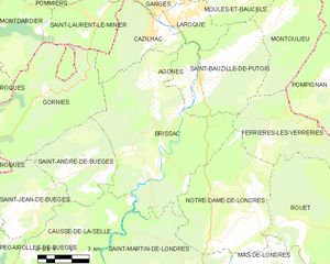
Cazilhac (Cazilhac)

- commune in Hérault, France
- Country:

- Postal Code: 34190
- Coordinates: 43° 55' 25" N, 3° 42' 6" E


- GPS tracks (wikiloc): [Link]
- Area: 11.69 sq km
- Population: 1493
- Wikipedia en: wiki(en)
- Wikipedia: wiki(fr)
- Wikidata storage: Wikidata: Q1072336
- Wikipedia Commons Category: [Link]
- Freebase ID: [/m/03nw40n]
- Freebase ID: [/m/03nw40n]
- Freebase ID: [/m/03nw40n]
- GeoNames ID: Alt: [6614264]
- GeoNames ID: Alt: [6614264]
- GeoNames ID: Alt: [6614264]
- SIREN number: [213400674]
- SIREN number: [213400674]
- SIREN number: [213400674]
- BnF ID: [15256668z]
- BnF ID: [15256668z]
- BnF ID: [15256668z]
- INSEE municipality code: 34067
- INSEE municipality code: 34067
- INSEE municipality code: 34067
Shares border with regions:


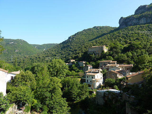
Agonès
- commune in Hérault, France
- Country:
- Postal Code: 34190
- Coordinates: 43° 54' 9" N, 3° 43' 42" E
- GPS tracks (wikiloc): [Link]
- Area: 4.16 sq km
- Population: 259

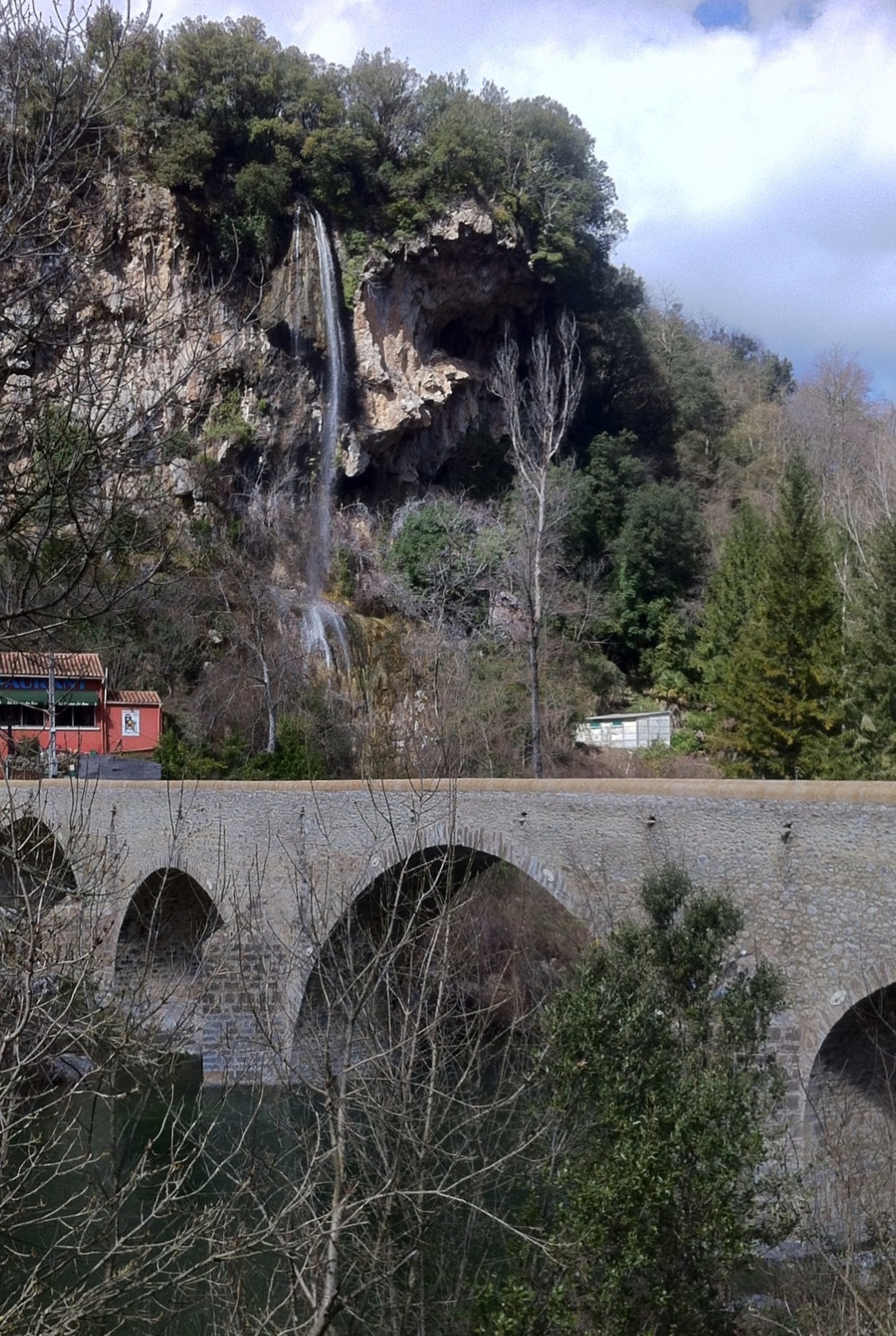
Brissac
- commune in Hérault, France
- Country:
- Postal Code: 34190
- Coordinates: 43° 52' 44" N, 3° 42' 7" E
- GPS tracks (wikiloc): [Link]
- Area: 44.13 sq km
- Population: 620
- Web site: [Link]

Gorniès
- commune in Hérault, France
- Country:
- Postal Code: 34190
- Coordinates: 43° 53' 18" N, 3° 37' 29" E
- GPS tracks (wikiloc): [Link]
- Area: 29.31 sq km
- Population: 128

Saint-Julien-de-la-Nef
- commune in Gard, France
- Country:
- Postal Code: 30440
- Coordinates: 43° 57' 54" N, 3° 41' 18" E
- GPS tracks (wikiloc): [Link]
- Area: 8.83 sq km
- Population: 134


Saint-Laurent-le-Minier
- commune in Gard, France
- Country:
- Postal Code: 30440
- Coordinates: 43° 55' 56" N, 3° 39' 16" E
- GPS tracks (wikiloc): [Link]
- Area: 13.26 sq km
- Population: 345
- Web site: [Link]

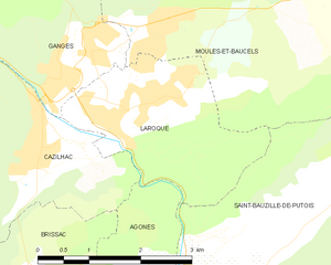
Laroque
- commune in Hérault, France
- Country:
- Postal Code: 34190
- Coordinates: 43° 55' 22" N, 3° 43' 28" E
- GPS tracks (wikiloc): [Link]
- Area: 6.63 sq km
- Population: 1610
- Web site: [Link]


Ganges
- commune in Hérault, France
- Country:
- Postal Code: 34190
- Coordinates: 43° 56' 3" N, 3° 42' 30" E
- GPS tracks (wikiloc): [Link]
- Area: 7.16 sq km
- Population: 3950
- Web site: [Link]