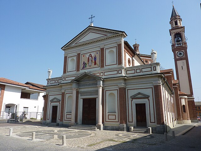
Ceriano Laghetto (Ceriano Laghetto)
.svg)
- Italian comune
 Hiking in Ceriano Laghetto
Ceriano Laghetto is a small town in the Lombardy region of Italy, not widely known for extensive hiking trails compared to more mountainous areas. However, it does offer some opportunities for outdoor activities, including hiking, particularly in the surrounding areas.
Hiking Opportunities in and around Ceriano Laghetto:
-
Local Parks and Green Areas:
- Ceriano Laghetto has several parks and green spaces that can offer pleasant walks. These areas are more suitable for leisurely strolls rather than extensive hiking trails.
-
Nearby Nature Reserves:
- Look into nearby natural reserves or parks like the Parco delle Groane, which is not far from Ceriano Laghetto. The park features a variety of trails that wind through forests, wetlands, and fields, providing a tranquil hiking experience.
-
Cascina Nascosta:
- This is a local area where you might find some paths suitable for walks. It can be a nice place to explore nature without venturing far from town.
-
Lake Comabbio and Lake Varese:
- While a bit further away, these lakes offer beautiful hiking trails and scenic views. They can be reached with a short drive and can provide a more extensive hiking experience.
-
Connecting Routes:
- The area is also excellent for connecting with longer hiking routes that lead into the Brianza region or towards the Como area if you are willing to drive or take public transport.
Tips for Hiking in Ceriano Laghetto:
-
Wear Proper Shoes: Even if the trails are not challenging, comfortable walking shoes or hiking boots will enhance your experience.
-
Check Weather Conditions: Always check the weather forecast before heading out, as conditions can change rapidly.
-
Trail Maps: If venturing into areas like Parco delle Groane, consider bringing a trail map or using a hiking app to stay oriented.
-
Stay Hydrated and Prepared: Even short hikes can be tiring; carry water and snacks to keep your energy up.
-
Respect Nature: Follow Leave No Trace principles. Always stay on marked trails and be mindful of wildlife.
By exploring the local area and its surroundings, you can enjoy a peaceful hiking experience in Ceriano Laghetto and appreciate the natural beauty of Lombardy.
- Country:

- Postal Code: 20816
- Local Dialing Code: 02
- Licence Plate Code: MB
- Coordinates: 45° 38' 0" N, 9° 5' 0" E


- GPS tracks (wikiloc): [Link]
- AboveSeaLevel: 216 м m
- Area: 7.08 sq km
- Population: 6519
- Web site: http://www.comune.cerianolaghetto.mb.it/
- Wikipedia en: wiki(en)
- Wikipedia: wiki(it)
- Wikidata storage: Wikidata: Q41061
- Wikipedia Commons Category: [Link]
- Freebase ID: [/m/0gj5h8]
- GeoNames ID: Alt: [6539480]
- OSM relation ID: [45536]
- Quora topic ID: [Ceriano-Laghetto]
- TGN ID: [1044160]
- UN/LOCODE: [ITCLO]
- ISTAT ID: 108018
- Italian cadastre code: C512
Shares border with regions:
Cogliate
- Italian comune
Hiking in Cogliate
Cogliate is a charming area located in the Lombardy region of Italy, not far from the beautiful town of Monza and the vibrant city of Milan. While it may not be as famous as some other hiking destinations in Italy, it offers a variety of outdoor activities and natural beauty....
- Country:
- Postal Code: 20815
- Local Dialing Code: 02
- Licence Plate Code: MB
- Coordinates: 45° 38' 0" N, 9° 5' 0" E
- GPS tracks (wikiloc): [Link]
- AboveSeaLevel: 236 м m
- Area: 6.96 sq km
- Population: 8558
- Web site: [Link]


Cesano Maderno
- Italian comune
Hiking in Cesano Maderno
Cesano Maderno, located in the Lombardy region of Italy, offers a range of hiking opportunities that showcase both its natural beauty and cultural heritage. The area is characterized by rolling hills, lush forests, and scenic views, making it an attractive destination for outdoor enthusiasts....
- Country:
- Postal Code: 20811
- Local Dialing Code: 0362
- Licence Plate Code: MB
- Coordinates: 45° 37' 38" N, 9° 8' 50" E
- GPS tracks (wikiloc): [Link]
- AboveSeaLevel: 198 м m
- Area: 11.51 sq km
- Population: 38614
- Web site: [Link]


Bovisio-Masciago
- Italian comune
Hiking in Bovisio-Masciago
Bovisio-Masciago is a charming town located in the Lombardy region of Italy, not far from Milan. While it's not primarily known for traditional hiking trails, it is situated near several natural areas and parks that offer great opportunities for outdoor activities, including walking and hiking....
- Country:
- Postal Code: 20813
- Local Dialing Code: 0362
- Licence Plate Code: MB
- Coordinates: 45° 37' 0" N, 9° 9' 0" E
- GPS tracks (wikiloc): [Link]
- AboveSeaLevel: 188 м m
- Area: 4 sq km
- Population: 17047
- Web site: [Link]


Saronno
- Italian comune
Hiking in Saronno
Saronno, located in the Lombardy region of northern Italy, is not primarily known as a hiking destination, but it does have access to some beautiful trails and natural areas nearby. Here are a few points to consider if you're looking to hike around Saronno:...
- Country:
- Postal Code: 21047
- Local Dialing Code: 02
- Licence Plate Code: VA
- Coordinates: 45° 37' 32" N, 9° 2' 13" E
- GPS tracks (wikiloc): [Link]
- AboveSeaLevel: 212 м m
- Area: 11.06 sq km
- Population: 39419
- Web site: [Link]

Solaro
- Italian comune
Hiking in Solaro
Solaro is a charming town located in the Lombardy region of northern Italy, though it is more commonly known as a residential area within the metropolitan region of Milan. Being close to the foothills of the Alps, it offers access to beautiful hiking trails and natural landscapes that can be explored....
- Country:
- Postal Code: 20020
- Local Dialing Code: 02
- Licence Plate Code: MI
- Coordinates: 45° 36' 54" N, 9° 5' 2" E
- GPS tracks (wikiloc): [Link]
- AboveSeaLevel: 211 м m
- Area: 6.68 sq km
- Population: 14223
- Web site: [Link]