Juvardeil (Juvardeil)

- commune in Maine-et-Loire, France
- Country:

- Postal Code: 49330
- Coordinates: 47° 39' 18" N, 0° 29' 56" E


- GPS tracks (wikiloc): [Link]
- Area: 18.95 sq km
- Population: 811
- Wikipedia en: wiki(en)
- Wikipedia: wiki(fr)
- Wikidata storage: Wikidata: Q1103116
- Wikipedia Commons Category: [Link]
- Freebase ID: [/m/03w9jn5]
- GeoNames ID: Alt: [3012007]
- SIREN number: [214901704]
- BnF ID: [152617714]
- INSEE municipality code: 49170
Shares border with regions:

Cheffes
- commune in Maine-et-Loire, France
- Country:
- Postal Code: 49125
- Coordinates: 47° 37' 16" N, 0° 30' 27" E
- GPS tracks (wikiloc): [Link]
- AboveSeaLevel: 21 м m
- Area: 17.35 sq km
- Population: 974


Cherré
- former commune in Maine-et-Loire, France
- Country:
- Postal Code: 49330
- Coordinates: 47° 42' 38" N, 0° 33' 48" E
- GPS tracks (wikiloc): [Link]
- Area: 13.91 sq km
- Population: 537


Châteauneuf-sur-Sarthe
- commune in Maine-et-Loire, France
- Country:
- Postal Code: 49330
- Coordinates: 47° 40' 51" N, 0° 29' 18" E
- GPS tracks (wikiloc): [Link]
- Area: 14.39 sq km
- Population: 3188
- Web site: [Link]

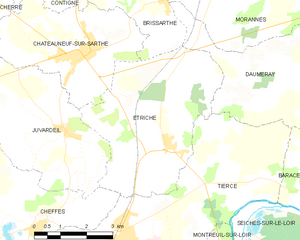
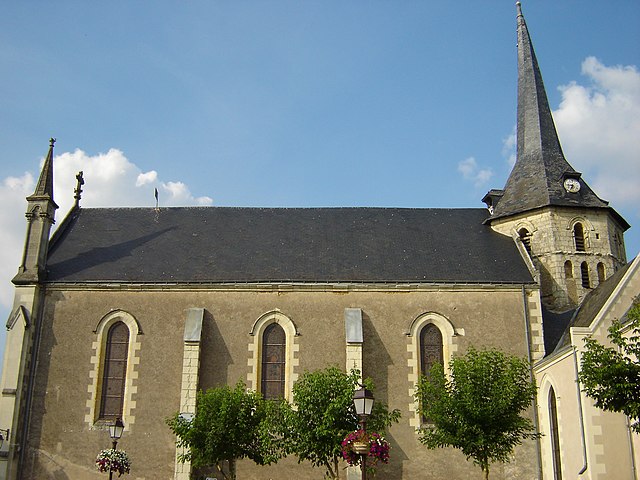
Étriché
- commune in Maine-et-Loire, France
- Country:
- Postal Code: 49330
- Coordinates: 47° 39' 3" N, 0° 26' 42" E
- GPS tracks (wikiloc): [Link]
- Area: 19.6 sq km
- Population: 1538
- Web site: [Link]


Champigné
- former commune in Maine-et-Loire, France
- Country:
- Postal Code: 49330
- Coordinates: 47° 39' 51" N, 0° 34' 20" E
- GPS tracks (wikiloc): [Link]
- Area: 22.7 sq km
- Population: 2158
- Web site: [Link]