Chênehutte-Trèves-Cunault (Chênehutte-Trèves-Cunault)

- former commune in Maine-et-Loire, France
- Country:

- Postal Code: 49350
- Coordinates: 47° 18' 30" N, 0° 9' 14" E


- GPS tracks (wikiloc): [Link]
- AboveSeaLevel: 30 м m
- Area: 27.61 sq km
- Population: 1033
- Web site: http://www.chenehutte-treves-cunault.fr
- Wikipedia en: wiki(en)
- Wikipedia: wiki(fr)
- Wikidata storage: Wikidata: Q675749
- Wikipedia Commons Category: [Link]
- Freebase ID: [/m/03w9j5r]
- GeoNames ID: Alt: [3025551]
- BnF ID: [152616966]
- VIAF ID: Alt: [244807343]
- INSEE municipality code: 49094
Shares border with regions:

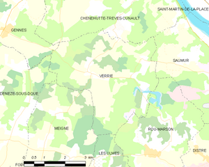
Verrie
- commune in Maine-et-Loire, France
- Country:
- Postal Code: 49400
- Coordinates: 47° 15' 56" N, 0° 10' 47" E
- GPS tracks (wikiloc): [Link]
- Area: 16.49 sq km
- Population: 470
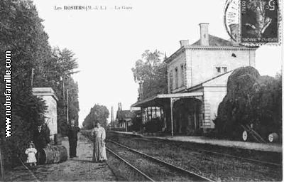

Les Rosiers-sur-Loire
- commune in Maine-et-Loire, France
- Country:
- Postal Code: 49350
- Coordinates: 47° 21' 5" N, 0° 13' 31" E
- GPS tracks (wikiloc): [Link]
- AboveSeaLevel: 24 м m
- Area: 26.11 sq km
- Population: 2305
- Web site: [Link]


Saumur
- commune in Maine-et-Loire, France
- Country:
- Postal Code: 49400
- Coordinates: 47° 16' 0" N, 0° 5' 0" E
- GPS tracks (wikiloc): [Link]
- AboveSeaLevel: 30 м m
- Area: 66.25 sq km
- Population: 27486
- Web site: [Link]


Saint-Martin-de-la-Place
- commune in Maine-et-Loire, France
- Country:
- Postal Code: 49160
- Coordinates: 47° 18' 56" N, 0° 8' 58" E
- GPS tracks (wikiloc): [Link]
- Area: 14.84 sq km
- Population: 1149


Saint-Clément-des-Levées
- commune in Maine-et-Loire, France
- Country:
- Postal Code: 49350
- Coordinates: 47° 19' 51" N, 0° 11' 5" E
- GPS tracks (wikiloc): [Link]
- Area: 10.22 sq km
- Population: 1130