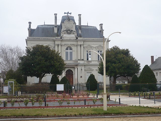
Les Rosiers-sur-Loire (Les Rosiers-sur-Loire)

- commune in Maine-et-Loire, France
- Country:

- Postal Code: 49350
- Coordinates: 47° 21' 5" N, 0° 13' 31" E


- GPS tracks (wikiloc): [Link]
- AboveSeaLevel: 24 м m
- Area: 26.11 sq km
- Population: 2305
- Web site: http://www.les-rosiers-sur-loire.com
- Wikipedia en: wiki(en)
- Wikipedia: wiki(fr)
- Wikidata storage: Wikidata: Q1384149
- Wikipedia Commons Category: [Link]
- Freebase ID: [/m/03x_t2z]
- GeoNames ID: Alt: [2999725]
- Library of Congress authority ID: Alt: [no2004083383]
- INSEE municipality code: 49261
Shares border with regions:
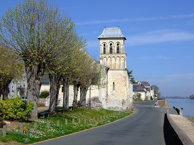

Le Thoureil
- former commune in Maine-et-Loire, France
- Country:
- Postal Code: 49350
- Coordinates: 47° 22' 16" N, 0° 15' 59" E
- GPS tracks (wikiloc): [Link]
- Area: 11.02 sq km
- Population: 447
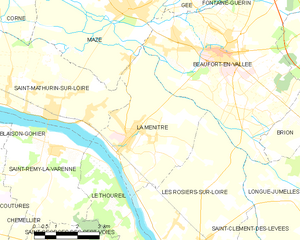
La Ménitré
- commune in Maine-et-Loire, France
- Country:
- Postal Code: 49250
- Coordinates: 47° 24' 9" N, 0° 16' 6" E
- GPS tracks (wikiloc): [Link]
- Area: 17.37 sq km
- Population: 2116
- Web site: [Link]


Chênehutte-Trèves-Cunault
- former commune in Maine-et-Loire, France
- Country:
- Postal Code: 49350
- Coordinates: 47° 18' 30" N, 0° 9' 14" E
- GPS tracks (wikiloc): [Link]
- AboveSeaLevel: 30 м m
- Area: 27.61 sq km
- Population: 1033
- Web site: [Link]


Longué-Jumelles
- commune in Maine-et-Loire, France
- Country:
- Postal Code: 49160
- Coordinates: 47° 22' 41" N, 0° 6' 29" E
- GPS tracks (wikiloc): [Link]
- AboveSeaLevel: 40 м m
- Area: 96.2 sq km
- Population: 6825
- Web site: [Link]


Saint-Clément-des-Levées
- commune in Maine-et-Loire, France
- Country:
- Postal Code: 49350
- Coordinates: 47° 19' 51" N, 0° 11' 5" E
- GPS tracks (wikiloc): [Link]
- Area: 10.22 sq km
- Population: 1130