Saint-Clément-des-Levées (Saint-Clément-des-Levées)

- commune in Maine-et-Loire, France
- Country:

- Postal Code: 49350
- Coordinates: 47° 19' 51" N, 0° 11' 5" E


- GPS tracks (wikiloc): [Link]
- Area: 10.22 sq km
- Population: 1130
- Wikipedia en: wiki(en)
- Wikipedia: wiki(fr)
- Wikidata storage: Wikidata: Q968520
- Wikipedia Commons Category: [Link]
- Freebase ID: [/m/03x_t50]
- GeoNames ID: Alt: [6435281]
- SIREN number: [214902728]
- BnF ID: [15261871d]
- INSEE municipality code: 49272
Shares border with regions:
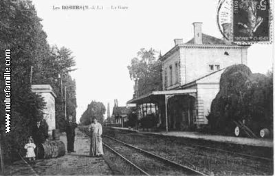

Les Rosiers-sur-Loire
- commune in Maine-et-Loire, France
- Country:
- Postal Code: 49350
- Coordinates: 47° 21' 5" N, 0° 13' 31" E
- GPS tracks (wikiloc): [Link]
- AboveSeaLevel: 24 м m
- Area: 26.11 sq km
- Population: 2305
- Web site: [Link]


Chênehutte-Trèves-Cunault
- former commune in Maine-et-Loire, France
- Country:
- Postal Code: 49350
- Coordinates: 47° 18' 30" N, 0° 9' 14" E
- GPS tracks (wikiloc): [Link]
- AboveSeaLevel: 30 м m
- Area: 27.61 sq km
- Population: 1033
- Web site: [Link]


Longué-Jumelles
- commune in Maine-et-Loire, France
- Country:
- Postal Code: 49160
- Coordinates: 47° 22' 41" N, 0° 6' 29" E
- GPS tracks (wikiloc): [Link]
- AboveSeaLevel: 40 м m
- Area: 96.2 sq km
- Population: 6825
- Web site: [Link]


Saint-Martin-de-la-Place
- commune in Maine-et-Loire, France
- Country:
- Postal Code: 49160
- Coordinates: 47° 18' 56" N, 0° 8' 58" E
- GPS tracks (wikiloc): [Link]
- Area: 14.84 sq km
- Population: 1149