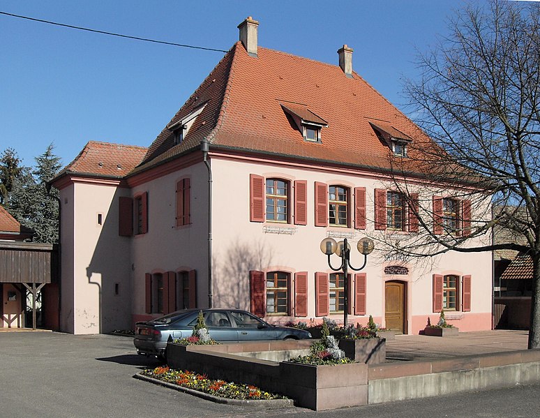
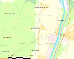
Chalampé (Chalampé)
- commune in Haut-Rhin, France
Chalampé is a small commune located in the Grand Est region of France, near the border with Germany and Switzerland. While it may not be widely recognized as a hiking destination compared to more mountainous areas, there are still opportunities for pleasant walks and exploration in the surrounding landscapes.
Hiking Opportunities in and near Chalampé:
-
Regional Natural Parks: Chalampé is close to the Parc Naturel Régional des Ballons des Vosges, which offers numerous hiking trails with varying difficulty levels. The park features scenic views, diverse flora, and fauna.
-
Riverside Trails: The proximity to the Rhine River provides some beautiful riverside paths. These trails are great for leisurely walks and may offer opportunities for bird watching, particularly in the wetlands.
-
Cultural Hiking Trails: Exploring the nearby towns and villages can also provide a unique hiking experience that combines nature with cultural and historical insights.
-
Floral and Fauna Observation: The surrounding area is home to a variety of ecosystems, making it a great place for nature enthusiasts. Bring binoculars if you're interested in birdwatching!
Tips for Hiking Near Chalampé:
-
Check Local Maps: Always have a map or a GPS device to find the best trails and understand the terrain.
-
Weather Preparedness: Be ready for sudden changes in weather, especially in the spring and autumn months.
-
Hydration and Snacks: Carry enough water and snacks, especially on longer hikes.
-
Wildlife Awareness: If you're hiking in more remote areas, be aware of local wildlife.
While Chalampé itself may not have extensive hiking options, its location makes it a convenient starting point for exploring the greater Alsace region’s beautiful landscapes.
- Country:

- Postal Code: 68490
- Coordinates: 47° 49' 14" N, 7° 32' 28" E


- GPS tracks (wikiloc): [Link]
- Area: 4.77 sq km
- Population: 955
- Wikipedia en: wiki(en)
- Wikipedia: wiki(fr)
- Wikidata storage: Wikidata: Q458753
- Wikipedia Commons Category: [Link]
- Freebase ID: [/m/03nss4v]
- Freebase ID: [/m/03nss4v]
- GeoNames ID: Alt: [3027570]
- GeoNames ID: Alt: [3027570]
- SIREN number: [216800649]
- SIREN number: [216800649]
- BnF ID: [15271766r]
- BnF ID: [15271766r]
- VIAF ID: Alt: [310690526]
- VIAF ID: Alt: [310690526]
- INSEE municipality code: 68064
- INSEE municipality code: 68064
Shares border with regions:


Rumersheim-le-Haut
- commune in Haut-Rhin, France
Rumersheim-le-Haut is a small commune located in the Grand Est region of northeastern France, specifically in the Bas-Rhin department. While it may not be a widely known hiking destination, the surrounding areas offer some lovely trails and beautiful landscapes typical of the Alsatian countryside....
- Country:

- Postal Code: 68740
- Coordinates: 47° 51' 7" N, 7° 31' 19" E


- GPS tracks (wikiloc): [Link]
- Area: 16.67 sq km
- Population: 1095


Bantzenheim
- commune in Haut-Rhin, France
Bantzenheim is a small commune in the Alsace region of France, known for its charming countryside and scenic landscapes. While it may not be as widely recognized as some larger hiking destinations, there are still opportunities for enjoyable hikes in and around Bantzenheim. Here are some aspects to consider for hiking in this area:...
- Country:

- Postal Code: 68490
- Coordinates: 47° 49' 29" N, 7° 30' 56" E


- GPS tracks (wikiloc): [Link]
- Area: 21.22 sq km
- Population: 1637
- Web site: [Link]

