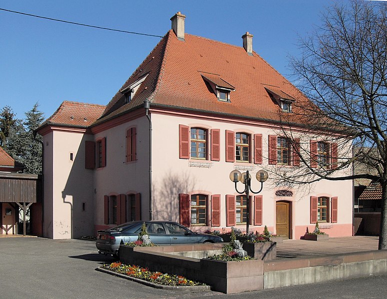
Bantzenheim (Bantzenheim)

- commune in Haut-Rhin, France
 Hiking in Bantzenheim
Bantzenheim is a small commune in the Alsace region of France, known for its charming countryside and scenic landscapes. While it may not be as widely recognized as some larger hiking destinations, there are still opportunities for enjoyable hikes in and around Bantzenheim. Here are some aspects to consider for hiking in this area:
-
Scenic Trails: The surrounding Alsace region offers picturesque trails that weave through vineyards, forests, and along the Rhine River. Look for local paths that might connect to regional hiking networks.
-
Local Nature: As you hike around Bantzenheim, you'll likely encounter diverse flora and fauna. The region is known for its natural beauty, and there are opportunities to spot wildlife and enjoy the peaceful environment.
-
Cultural Sites: Combining hiking with a bit of culture is one of the joys of trekking in Alsace. Consider planning hikes that bring you to nearby villages or towns, where you can experience local architecture and cuisine.
-
Vineyard Trails: The Alsace wine route is famous for its vineyards. Some trails will take you through these vineyards, allowing for a unique combination of hiking and wine tasting experiences.
-
Nearby Attractions: Explore nearby hiking options in larger parks or natural reserves, such as the Parc Naturel Régional des Ballons des Vosges. These areas offer a range of trails suited for various skill levels.
-
Practical Considerations: Ensure you have appropriate footwear, enough water, and snacks. Always check local maps and guides to plan your route and be aware of the current weather conditions.
If you're looking for specific trail recommendations or local guides, consider checking local tourism websites or hiking clubs in the Alsace region for up-to-date information and resources. Happy hiking!
- Country:

- Postal Code: 68490
- Coordinates: 47° 49' 29" N, 7° 30' 56" E


- GPS tracks (wikiloc): [Link]
- Area: 21.22 sq km
- Population: 1637
- Web site: http://bantzenheim.fr
- Wikipedia en: wiki(en)
- Wikipedia: wiki(fr)
- Wikidata storage: Wikidata: Q320271
- Wikipedia Commons Category: [Link]
- Freebase ID: [/m/0bsftq]
- Freebase ID: [/m/0bsftq]
- GeoNames ID: Alt: [6450645]
- GeoNames ID: Alt: [6450645]
- SIREN number: [216800201]
- SIREN number: [216800201]
- BnF ID: [15271724t]
- BnF ID: [15271724t]
- INSEE municipality code: 68020
- INSEE municipality code: 68020
Shares border with regions:


Ottmarsheim
- commune in Haut-Rhin, France
Hiking in Ottmarsheim
Ottmarsheim, located in the Alsace region of France near the border with Germany, offers a charming setting for outdoor enthusiasts. While it is primarily known for its historical significance and beautiful architecture, particularly the Abbey of Ottmarsheim, the surrounding areas provide opportunities for hiking and nature walks....
- Country:
- Postal Code: 68490
- Coordinates: 47° 47' 14" N, 7° 30' 37" E
- GPS tracks (wikiloc): [Link]
- AboveSeaLevel: 217.235 м m
- Area: 25.67 sq km
- Population: 1760
- Web site: [Link]

Rumersheim-le-Haut
- commune in Haut-Rhin, France
Hiking in Rumersheim-le-Haut
Rumersheim-le-Haut is a small commune located in the Grand Est region of northeastern France, specifically in the Bas-Rhin department. While it may not be a widely known hiking destination, the surrounding areas offer some lovely trails and beautiful landscapes typical of the Alsatian countryside....
- Country:
- Postal Code: 68740
- Coordinates: 47° 51' 7" N, 7° 31' 19" E
- GPS tracks (wikiloc): [Link]
- Area: 16.67 sq km
- Population: 1095


Munchhouse
- commune in Haut-Rhin, France
Hiking in Munchhouse
Munchhouse is a quaint and lesser-known destination for hiking enthusiasts, nestled in the natural beauty of the surrounding landscapes. While it may not be as popular as other hiking areas, it offers a unique experience for those willing to explore its trails. Here are some key points to consider when hiking in Munchhouse:...
- Country:
- Postal Code: 68740
- Coordinates: 47° 52' 6" N, 7° 27' 3" E
- GPS tracks (wikiloc): [Link]
- Area: 24.05 sq km
- Population: 1574


Battenheim
- commune in Haut-Rhin, France
Hiking in Battenheim
Battenheim, located in the Alsace region of France, offers a variety of scenic landscapes and hiking opportunities for outdoor enthusiasts. Its proximity to the Vosges Mountains and the Rhine River makes it an attractive destination for nature lovers. Here are some key points about hiking in the Battenheim area:...
- Country:
- Postal Code: 68390
- Coordinates: 47° 49' 11" N, 7° 22' 54" E
- GPS tracks (wikiloc): [Link]
- Area: 16.88 sq km
- Population: 1508


Chalampé
- commune in Haut-Rhin, France
Hiking in Chalampé
Chalampé is a small commune located in the Grand Est region of France, near the border with Germany and Switzerland. While it may not be widely recognized as a hiking destination compared to more mountainous areas, there are still opportunities for pleasant walks and exploration in the surrounding landscapes....
- Country:
- Postal Code: 68490
- Coordinates: 47° 49' 14" N, 7° 32' 28" E
- GPS tracks (wikiloc): [Link]
- Area: 4.77 sq km
- Population: 955