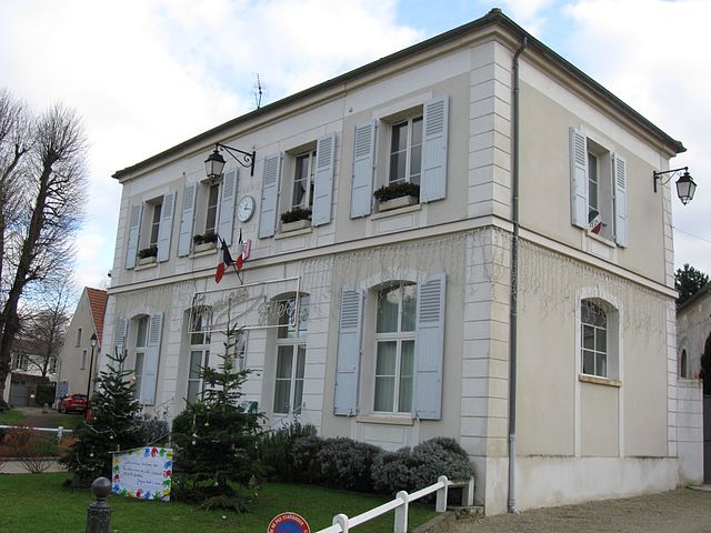
Chalifert (Chalifert)

- commune in Seine-et-Marne, France
- Country:

- Postal Code: 77144
- Coordinates: 48° 53' 19" N, 2° 46' 23" E


- GPS tracks (wikiloc): [Link]
- Area: 2.42 sq km
- Population: 1270
- Web site: http://www.chalifert.fr
- Wikipedia en: wiki(en)
- Wikipedia: wiki(fr)
- Wikidata storage: Wikidata: Q1422122
- Wikipedia Commons Category: [Link]
- Wikipedia Commons Maps Category: [Link]
- Freebase ID: [/m/02pt3qk]
- Freebase ID: [/m/02pt3qk]
- GeoNames ID: Alt: [3027524]
- GeoNames ID: Alt: [3027524]
- SIREN number: [217700756]
- SIREN number: [217700756]
- BnF ID: [15275416b]
- BnF ID: [15275416b]
- INSEE municipality code: 77075
- INSEE municipality code: 77075
Shares border with regions:


Chessy
- commune in Seine-et-Marne, France
- Country:
- Postal Code: 77700
- Coordinates: 48° 52' 49" N, 2° 45' 48" E
- GPS tracks (wikiloc): [Link]
- Area: 5.74 sq km
- Population: 5131
- Web site: [Link]

Lesches
- commune in Seine-et-Marne, France
- Country:
- Postal Code: 77450
- Coordinates: 48° 54' 28" N, 2° 46' 47" E
- GPS tracks (wikiloc): [Link]
- Area: 4.03 sq km
- Population: 707
- Web site: [Link]


Jablines
- commune in Seine-et-Marne, France
- Country:
- Postal Code: 77450
- Coordinates: 48° 55' 4" N, 2° 45' 45" E
- GPS tracks (wikiloc): [Link]
- Area: 8.04 sq km
- Population: 683
- Web site: [Link]


Dampmart
- commune in Seine-et-Marne, France
- Country:
- Postal Code: 77400
- Coordinates: 48° 53' 12" N, 2° 44' 6" E
- GPS tracks (wikiloc): [Link]
- Area: 5.92 sq km
- Population: 3309
- Web site: [Link]


Coupvray
- commune in Seine-et-Marne, France
- Country:
- Postal Code: 77700
- Coordinates: 48° 53' 31" N, 2° 47' 37" E
- GPS tracks (wikiloc): [Link]
- Area: 8.09 sq km
- Population: 2811
- Web site: [Link]