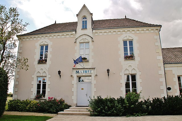
Champigny-sur-Veude (Champigny-sur-Veude)

- commune in Indre-et-Loire, France
- Country:

- Postal Code: 37120
- Coordinates: 47° 4' 1" N, 0° 19' 19" E


- GPS tracks (wikiloc): [Link]
- Area: 16.18 sq km
- Population: 875
- Web site: http://www.champigny-sur-veude.com/commune.html
- Wikipedia en: wiki(en)
- Wikipedia: wiki(fr)
- Wikidata storage: Wikidata: Q1136074
- Wikipedia Commons Category: [Link]
- Freebase ID: [/m/03nvcj_]
- GeoNames ID: Alt: [3027104]
- SIREN number: [213700511]
- BnF ID: [152576028]
- VIAF ID: Alt: [159445434]
- Library of Congress authority ID: Alt: [n80077138]
- MusicBrainz area ID: [095870f3-f654-43ab-a53d-ee699d7f625c]
- INSEE municipality code: 37051
Shares border with regions:


Chaveignes
- commune in Indre-et-Loire, France
- Country:
- Postal Code: 37120
- Coordinates: 47° 2' 16" N, 0° 20' 59" E
- GPS tracks (wikiloc): [Link]
- Area: 21.34 sq km
- Population: 554
- Web site: [Link]


La Tour-Saint-Gelin
- commune in Indre-et-Loire, France
- Country:
- Postal Code: 37120
- Coordinates: 47° 2' 59" N, 0° 24' 9" E
- GPS tracks (wikiloc): [Link]
- Area: 13.45 sq km
- Population: 534
- Web site: [Link]


Lémeré
- commune in Indre-et-Loire, France
- Country:
- Postal Code: 37120
- Coordinates: 47° 4' 58" N, 0° 20' 6" E
- GPS tracks (wikiloc): [Link]
- Area: 19.83 sq km
- Population: 503
- Web site: [Link]


Assay
- commune in Indre-et-Loire, France
- Country:
- Postal Code: 37120
- Coordinates: 47° 4' 28" N, 0° 17' 24" E
- GPS tracks (wikiloc): [Link]
- Area: 14.53 sq km
- Population: 159

Pouant
- commune in Vienne, France
- Country:
- Postal Code: 86200
- Coordinates: 47° 0' 21" N, 0° 16' 16" E
- GPS tracks (wikiloc): [Link]
- Area: 26.57 sq km
- Population: 414


Richelieu
- commune in Indre-et-Loire, France
- Country:
- Postal Code: 37120
- Coordinates: 47° 0' 51" N, 0° 19' 25" E
- GPS tracks (wikiloc): [Link]
- Area: 5.09 sq km
- Population: 1787
- Web site: [Link]