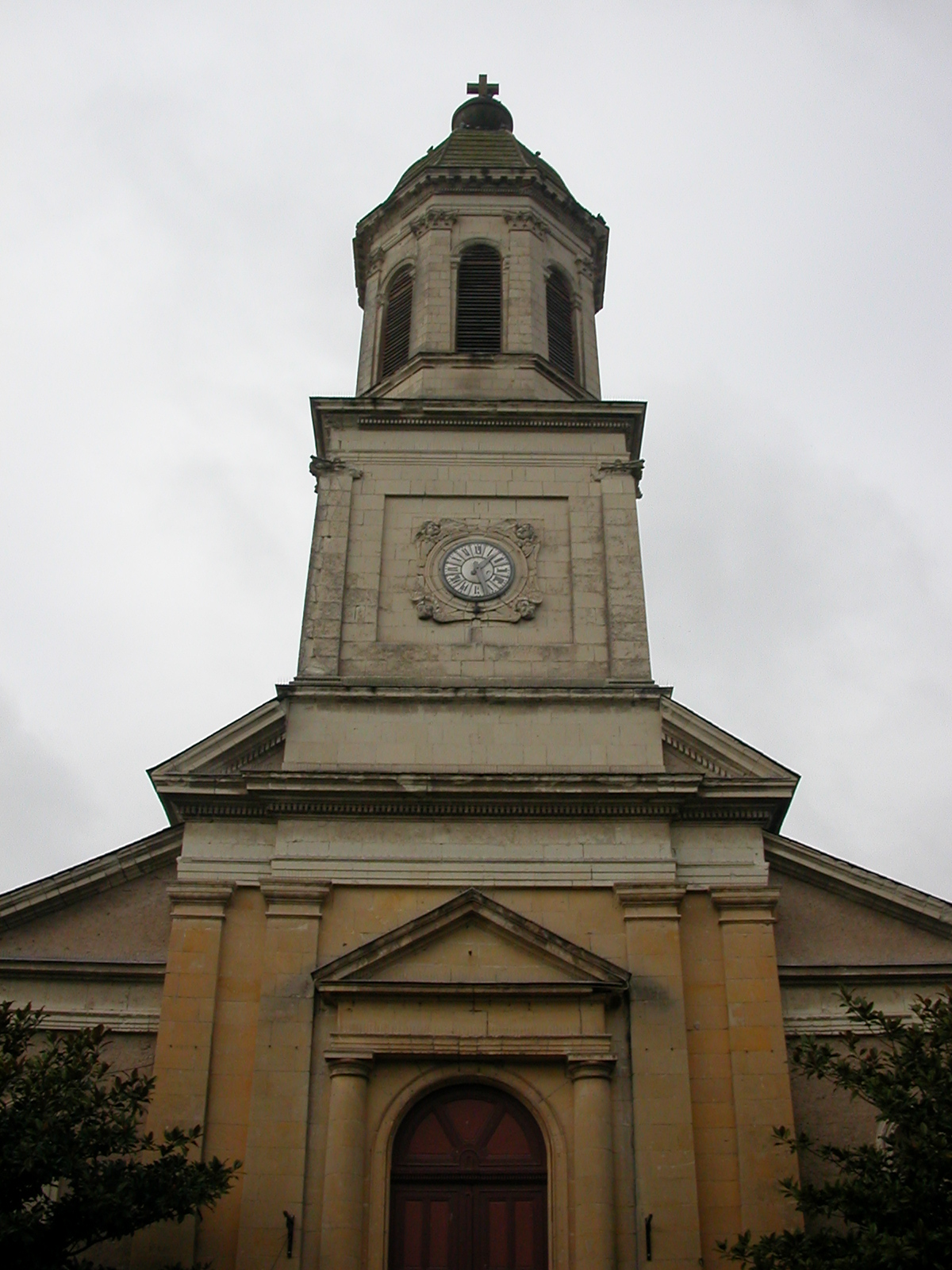
Champtocé-sur-Loire (Champtocé-sur-Loire)

- commune in Maine-et-Loire, France
- Country:

- Postal Code: 49123
- Coordinates: 47° 24' 43" N, 0° 51' 48" E


- GPS tracks (wikiloc): [Link]
- Area: 36.76 sq km
- Population: 1872
- Web site: http://www.champtoce-sur-loire.mairie49.fr
- Wikipedia en: wiki(en)
- Wikipedia: wiki(fr)
- Wikidata storage: Wikidata: Q674700
- Wikipedia Commons Category: [Link]
- Freebase ID: [/m/03qcp95]
- GeoNames ID: Alt: [3027007]
- SIREN number: [214900680]
- BnF ID: [15261670h]
- INSEE municipality code: 49068
Shares border with regions:


Villemoisan
- former commune in Maine-et-Loire, France
- Country:
- Postal Code: 49370
- Coordinates: 47° 27' 48" N, 0° 53' 32" E
- GPS tracks (wikiloc): [Link]
- Area: 20.75 sq km
- Population: 636
- Web site: [Link]

Saint-Germain-des-Prés
- commune in Maine-et-Loire, France
- Country:
- Postal Code: 49170
- Coordinates: 47° 24' 33" N, 0° 50' 3" E
- GPS tracks (wikiloc): [Link]
- Area: 19.76 sq km
- Population: 1404


Montjean-sur-Loire
- former commune in Maine-et-Loire, France
- Country:
- Postal Code: 49570
- Coordinates: 47° 23' 18" N, 0° 51' 40" E
- GPS tracks (wikiloc): [Link]
- Area: 19.33 sq km
- Population: 3093
- Web site: [Link]

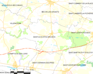
Saint-Augustin-des-Bois
- commune in Maine-et-Loire, France
- Country:
- Postal Code: 49170
- Coordinates: 47° 27' 34" N, 0° 47' 43" E
- GPS tracks (wikiloc): [Link]
- Area: 27.28 sq km
- Population: 1210

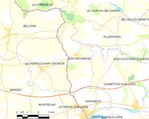
Saint-Sigismond
- commune in Maine-et-Loire, France
- Country:
- Postal Code: 49123
- Coordinates: 47° 27' 13" N, 0° 56' 34" E
- GPS tracks (wikiloc): [Link]
- AboveSeaLevel: 68 м m
- Area: 12.72 sq km
- Population: 369