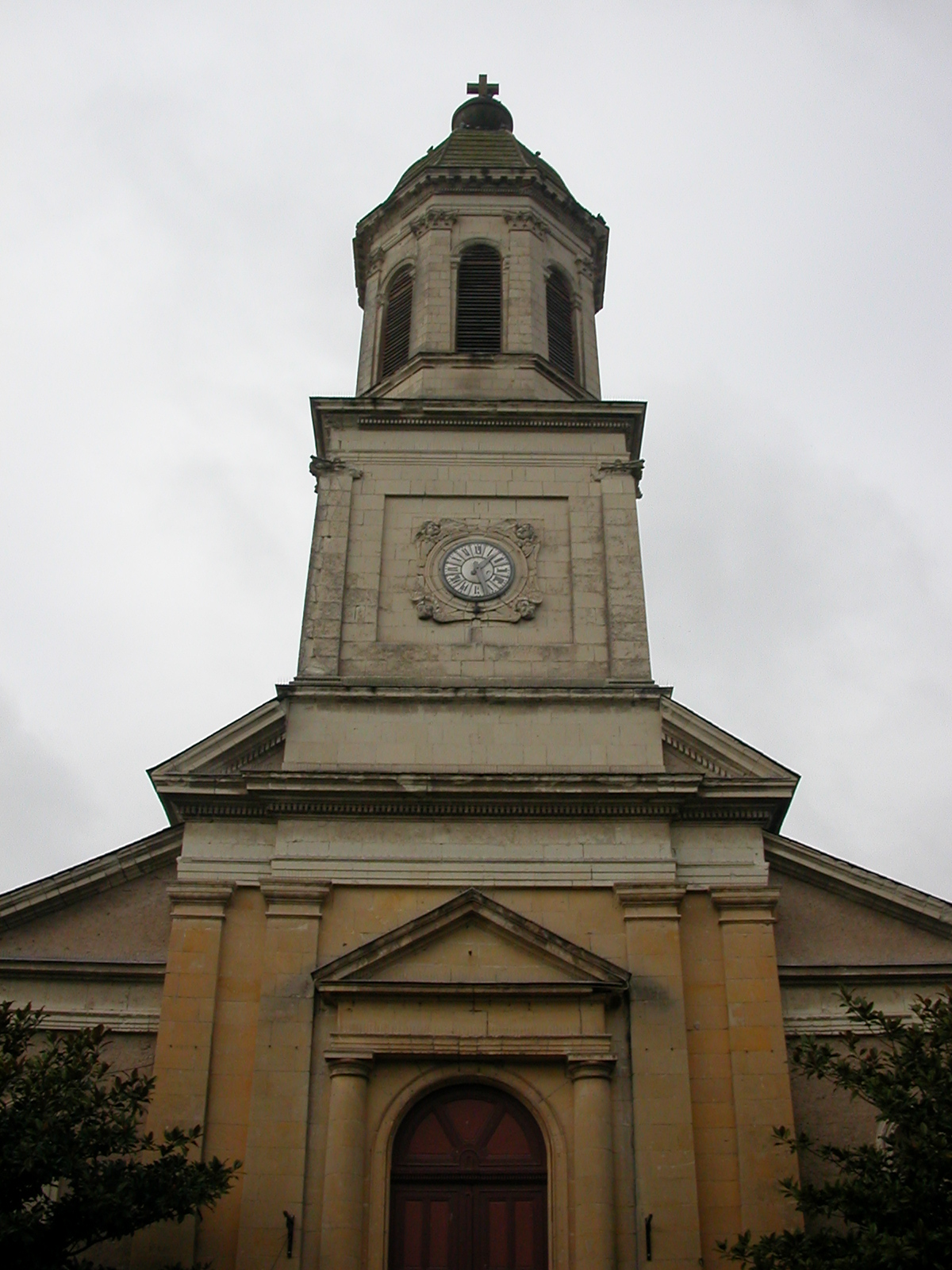
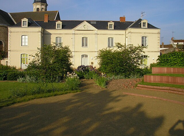
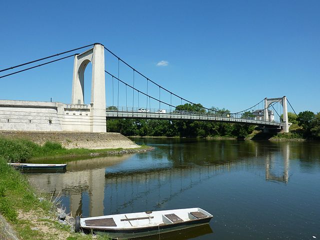
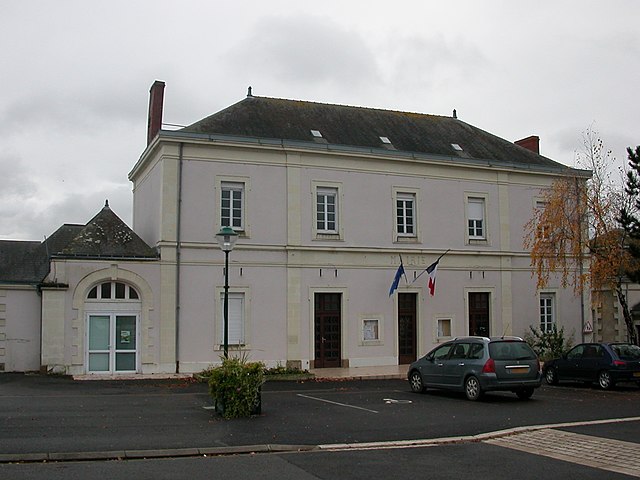
Montjean-sur-Loire (Montjean-sur-Loire)

- former commune in Maine-et-Loire, France
- Country:

- Postal Code: 49570
- Coordinates: 47° 23' 18" N, 0° 51' 40" E


- GPS tracks (wikiloc): [Link]
- Area: 19.33 sq km
- Population: 3093
- Web site: http://www.montjean.net
- Wikipedia en: wiki(en)
- Wikipedia: wiki(fr)
- Wikidata storage: Wikidata: Q1385384
- Wikipedia Commons Category: [Link]
- Freebase ID: [/m/03w9jw1]
- GeoNames ID: Alt: [2992354]
- BnF ID: [15261812w]
- archINFORM location ID: [6818]
- Library of Congress authority ID: Alt: [no99003929]
- INSEE municipality code: 49212
Shares border with regions:

Saint-Germain-des-Prés
- commune in Maine-et-Loire, France
- Country:
- Postal Code: 49170
- Coordinates: 47° 24' 33" N, 0° 50' 3" E
- GPS tracks (wikiloc): [Link]
- Area: 19.76 sq km
- Population: 1404

Le Mesnil-en-Vallée
- former commune in Maine-et-Loire, France
- Country:
- Postal Code: 49410
- Coordinates: 47° 21' 57" N, 0° 56' 8" E
- GPS tracks (wikiloc): [Link]
- Area: 17.72 sq km
- Population: 1464

Chalonnes-sur-Loire
- commune in Maine-et-Loire, France
- Country:
- Postal Code: 49290
- Coordinates: 47° 21' 2" N, 0° 45' 50" E
- GPS tracks (wikiloc): [Link]
- Area: 38.56 sq km
- Population: 6513
- Web site: [Link]
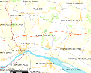
Champtocé-sur-Loire
- commune in Maine-et-Loire, France
- Country:
- Postal Code: 49123
- Coordinates: 47° 24' 43" N, 0° 51' 48" E
- GPS tracks (wikiloc): [Link]
- Area: 36.76 sq km
- Population: 1872
- Web site: [Link]