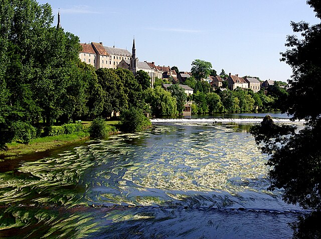
Chasseneuil (Chasseneuil)

- commune in Indre, France
- Country:

- Postal Code: 36800
- Coordinates: 46° 38' 49" N, 1° 29' 46" E


- GPS tracks (wikiloc): [Link]
- Area: 29.85 sq km
- Population: 688
- Wikipedia en: wiki(en)
- Wikipedia: wiki(fr)
- Wikidata storage: Wikidata: Q626437
- Wikipedia Commons Category: [Link]
- Freebase ID: [/m/02x3qql]
- GeoNames ID: Alt: [6448589]
- SIREN number: [213600422]
- BnF ID: [152573462]
- Library of Congress authority ID: Alt: [no2013000163]
- INSEE municipality code: 36042
Shares border with regions:


La Pérouille
- commune in Indre, France
- Country:
- Postal Code: 36350
- Coordinates: 46° 42' 13" N, 1° 30' 56" E
- GPS tracks (wikiloc): [Link]
- Area: 21.54 sq km
- Population: 458


Nuret-le-Ferron
- commune in Indre, France
- Country:
- Postal Code: 36800
- Coordinates: 46° 41' 3" N, 1° 25' 59" E
- GPS tracks (wikiloc): [Link]
- Area: 47.29 sq km
- Population: 311

Saint-Gaultier
- commune in Indre, France
- Country:
- Postal Code: 36800
- Coordinates: 46° 38' 7" N, 1° 25' 13" E
- GPS tracks (wikiloc): [Link]
- Area: 9.2 sq km
- Population: 1823
- Web site: [Link]


Thenay
- commune in Indre, France
- Country:
- Postal Code: 36800
- Coordinates: 46° 37' 48" N, 1° 25' 44" E
- GPS tracks (wikiloc): [Link]
- Area: 34.21 sq km
- Population: 874

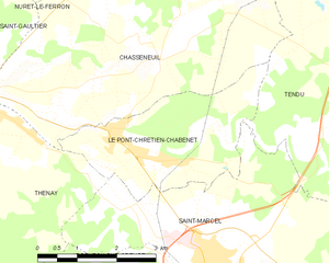
Le Pont-Chrétien-Chabenet
- commune in Indre, France
- Country:
- Postal Code: 36800
- Coordinates: 46° 37' 44" N, 1° 28' 49" E
- GPS tracks (wikiloc): [Link]
- Area: 9.03 sq km
- Population: 922
- Web site: [Link]


Tendu
- commune in Indre, France
- Country:
- Postal Code: 36200
- Coordinates: 46° 38' 39" N, 1° 33' 29" E
- GPS tracks (wikiloc): [Link]
- Area: 42.17 sq km
- Population: 648
- Web site: [Link]