Chaumontel (Chaumontel)

- commune in Val-d'Oise, France
- Country:

- Postal Code: 95270
- Coordinates: 49° 7' 37" N, 2° 25' 44" E


- GPS tracks (wikiloc): [Link]
- Area: 4.23 sq km
- Population: 3305
- Web site: http://www.ville-chaumontel.fr
- Wikipedia en: wiki(en)
- Wikipedia: wiki(fr)
- Wikidata storage: Wikidata: Q273239
- Wikipedia Commons Category: [Link]
- Freebase ID: [/m/03qlk64]
- Freebase ID: [/m/03qlk64]
- GeoNames ID: Alt: [3025882]
- GeoNames ID: Alt: [3025882]
- SIREN number: [219501491]
- SIREN number: [219501491]
- BnF ID: [152804108]
- BnF ID: [152804108]
- INSEE municipality code: 95149
- INSEE municipality code: 95149
Shares border with regions:


Luzarches
- commune in Val-d'Oise, France
- Country:
- Postal Code: 95270
- Coordinates: 49° 6' 47" N, 2° 25' 20" E
- GPS tracks (wikiloc): [Link]
- Area: 20.49 sq km
- Population: 4536
- Web site: [Link]
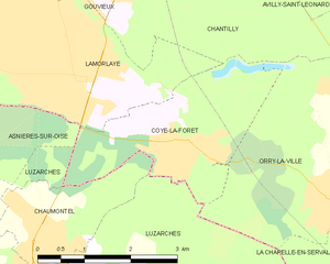
Coye-la-Forêt
- commune in Oise, France
- Country:
- Postal Code: 60580
- Coordinates: 49° 8' 32" N, 2° 28' 23" E
- GPS tracks (wikiloc): [Link]
- Area: 6.96 sq km
- Population: 3889
- Web site: [Link]