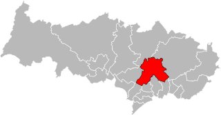
arrondissement of Sarcelles (arrondissement de Sarcelles)

- French arrondissement in Val-d'Oise
- Country:

- Capital: Sarcelles
- Coordinates: 48° 59' 50" N, 2° 22' 43" E


- GPS tracks (wikiloc): [Link]
- Area: 364 sq km
- Population: 469702
- Wikipedia en: wiki(en)
- Wikipedia: wiki(fr)
- Wikidata storage: Wikidata: Q702466
- Freebase ID: [/m/0953zl]
- GeoNames ID: Alt: [6457377]
- INSEE arrondissement code: [952]
Includes regions:

canton of Garges-lès-Gonesse-Ouest
- canton of France (until March 2015)
- Country:
- Capital: Garges-lès-Gonesse
- Coordinates: 48° 58' 0" N, 2° 25' 0" E
- GPS tracks (wikiloc): [Link]


canton of Villiers-le-Bel
- canton of France
- Country:
- Capital: Villiers-le-Bel
- Coordinates: 49° 0' 0" N, 2° 23' 0" E
- GPS tracks (wikiloc): [Link]
- Population: 62307

canton of Saint-Gratien
- canton of France (until March 2015)
- Country:
- Capital: Saint-Gratien
- Coordinates: 48° 58' 0" N, 2° 17' 0" E
- GPS tracks (wikiloc): [Link]


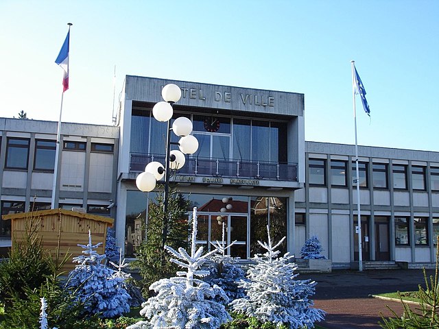
canton of Goussainville
- canton of France
- Country:
- Capital: Goussainville
- Coordinates: 49° 1' 0" N, 2° 28' 0" E
- GPS tracks (wikiloc): [Link]
- Population: 57087
canton of Domont
- canton of France
- Country:
- Capital: Domont
- Coordinates: 49° 2' 0" N, 2° 20' 0" E
- GPS tracks (wikiloc): [Link]
- Population: 60615


canton of Enghien-les-Bains
- canton of France (until March 2015)
- Country:
- Capital: Enghien-les-Bains
- Coordinates: 48° 58' 0" N, 2° 19' 0" E
- GPS tracks (wikiloc): [Link]

canton of Luzarches
- canton of France
- Country:
- Capital: Luzarches
- Coordinates: 49° 7' 0" N, 2° 25' 0" E
- GPS tracks (wikiloc): [Link]
- Area: 97.4 sq km

canton of Soisy-sous-Montmorency
- canton of France (until March 2015)
- Country:
- Capital: Soisy-sous-Montmorency
- Coordinates: 48° 59' 0" N, 2° 18' 0" E
- GPS tracks (wikiloc): [Link]

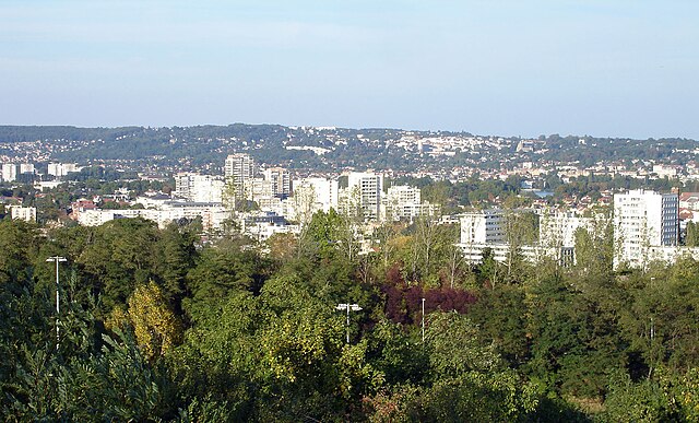
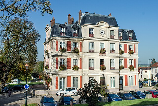
Garges-lès-Gonesse
- commune in Val-d'Oise, France
- Country:
- Postal Code: 95140
- Coordinates: 48° 58' 19" N, 2° 24' 0" E
- GPS tracks (wikiloc): [Link]
- AboveSeaLevel: 80 м m
- Area: 5.47 sq km
- Population: 42501
- Web site: [Link]


canton of Montmorency
- canton of France
- Country:
- Capital: Montmorency
- Coordinates: 49° 0' 0" N, 2° 20' 0" E
- GPS tracks (wikiloc): [Link]
- Population: 59308

canton of Garges-lès-Gonesse-Est
- canton of France (until March 2015)
- Country:
- Capital: Garges-lès-Gonesse
- Coordinates: 48° 58' 0" N, 2° 25' 0" E
- GPS tracks (wikiloc): [Link]
Shares border with regions:


arrondissement of Argenteuil
- arrondissement of France
- Country:
- Capital: Argenteuil
- Coordinates: 48° 56' 51" N, 2° 14' 56" E
- GPS tracks (wikiloc): [Link]
- Area: 108.62 sq km
- Population: 408510

arrondissement of Saint-Denis, Seine-Saint-Denis
- arrondissement of France in Île-de-France
- Country:
- Capital: Saint-Denis
- Coordinates: 48° 56' 1" N, 2° 21' 23" E
- GPS tracks (wikiloc): [Link]
- Area: 47 sq km
- Population: 429266


arrondissement of Senlis
- arrondissement of France
- Country:
- Capital: Senlis
- Coordinates: 49° 12' 0" N, 2° 35' 0" E
- GPS tracks (wikiloc): [Link]
- Area: 1344 sq km
- Population: 281400


arrondissement of Le Raincy
- arrondissement of France
- Country:
- Capital: Le Raincy
- Coordinates: 48° 53' 52" N, 2° 31' 11" E
- GPS tracks (wikiloc): [Link]
- Area: 123 sq km
- Population: 750425


arrondissement of Meaux
- arrondissement of France
- Country:
- Capital: Meaux
- Coordinates: 48° 57' 28" N, 2° 53' 8" E
- GPS tracks (wikiloc): [Link]
- Area: 1400 sq km
- Population: 340528


arrondissement of Pontoise
- arrondissement of France
- Country:
- Capital: Pontoise
- Coordinates: 49° 3' 3" N, 2° 5' 47" E
- GPS tracks (wikiloc): [Link]
- Area: 765.98 sq km
- Population: 337178