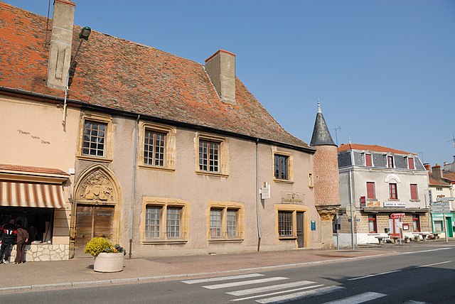
Chenay-le-Châtel (Chenay-le-Châtel)

- commune in Saône-et-Loire, France
- Country:

- Postal Code: 71340
- Coordinates: 46° 13' 39" N, 3° 56' 22" E


- GPS tracks (wikiloc): [Link]
- Area: 32.14 sq km
- Population: 395
- Wikipedia en: wiki(en)
- Wikipedia: wiki(fr)
- Wikidata storage: Wikidata: Q641017
- Wikipedia Commons Category: [Link]
- Wikipedia Commons Maps Category: [Link]
- Freebase ID: [/m/03qfzsk]
- Freebase ID: [/m/03qfzsk]
- GeoNames ID: Alt: [6442194]
- GeoNames ID: Alt: [6442194]
- SIREN number: [217101237]
- SIREN number: [217101237]
- BnF ID: [152730967]
- BnF ID: [152730967]
- INSEE municipality code: 71123
- INSEE municipality code: 71123
Shares border with regions:


Vivans
- commune in Loire, France
- Country:
- Postal Code: 42310
- Coordinates: 46° 11' 22" N, 3° 56' 33" E
- GPS tracks (wikiloc): [Link]
- Area: 25.16 sq km
- Population: 232


Saint-Martin-d'Estréaux
- commune in Loire, France
- Country:
- Postal Code: 42620
- Coordinates: 46° 12' 22" N, 3° 47' 55" E
- GPS tracks (wikiloc): [Link]
- Area: 29.6 sq km
- Population: 858
- Web site: [Link]


Urbise
- commune in Loire, France
- Country:
- Postal Code: 42310
- Coordinates: 46° 15' 15" N, 3° 53' 32" E
- GPS tracks (wikiloc): [Link]
- Area: 15.5 sq km
- Population: 132

La Pacaudière
- commune in Loire, France
- Country:
- Postal Code: 42310
- Coordinates: 46° 10' 32" N, 3° 52' 3" E
- GPS tracks (wikiloc): [Link]
- Area: 20.61 sq km
- Population: 1044
- Web site: [Link]


Artaix
- commune in Saône-et-Loire, France
- Country:
- Postal Code: 71110
- Coordinates: 46° 14' 43" N, 4° 0' 40" E
- GPS tracks (wikiloc): [Link]
- Area: 21.41 sq km
- Population: 323
- Web site: [Link]


Céron
- commune in Saône-et-Loire, France
- Country:
- Postal Code: 71110
- Coordinates: 46° 16' 57" N, 3° 56' 38" E
- GPS tracks (wikiloc): [Link]
- Area: 23.53 sq km
- Population: 270


Melay
- commune in Saône-et-Loire, France
- Country:
- Postal Code: 71340
- Coordinates: 46° 12' 49" N, 4° 1' 1" E
- GPS tracks (wikiloc): [Link]
- AboveSeaLevel: 295 м m
- Area: 36.5 sq km
- Population: 975
- Web site: [Link]